
TALLAHASSEE, Fla. (WCTV) – A Fire Weather Watch is in place across the region as we start the work week.
Tonight Through Monday Night
After a few sprinkles to kick off Sunday evening, we are turning drier and cooler for the overnight. Lows settle in the upper-40s and low-50s under a mostly clear sky. A breezy wind will linger.
Monday is looking dry, mostly sunny and breezy. Temperatures top out in the upper-70s and low-80s. Similar to Sunday, we could see winds up to 25 mph at times.
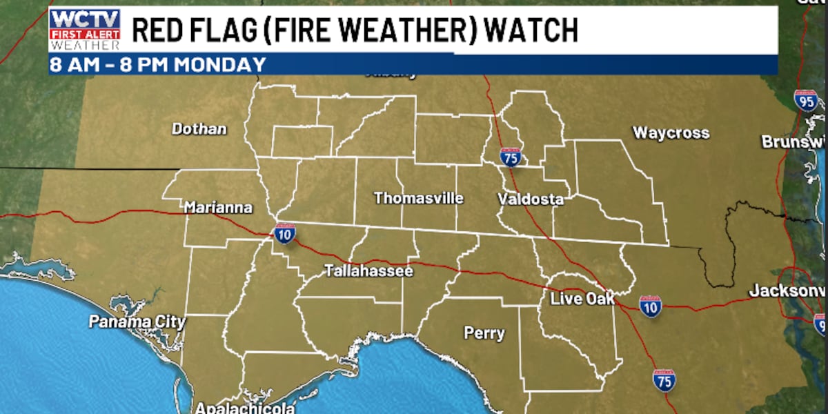
Because of the dry, warm and gusty weather, we are tracking an Elevated fire danger across the region. A Fire Weather Watch is in place from 8 a.m. through 8 p.m. on Monday. Outdoor burning is not recommended.
We are quiet and cool for Monday night. Lows tumble into the upper-40s under a mostly clear sky.
Middle Of The Week
After some cool conditions to wake up on Tuesday, a mild afternoon is ahead. We remain dry and mostly sunny. Temperatures climb into the low-80s. Lows fall into the low-50s.
Another dry day is on tap for Wednesday. Temperatures top out in the low-80s under a mix of Sun and clouds. Overnight lows settle in the low-50s.
Extended Forecast
Looking ahead, another warming trend looks to be on the way to end the work week.
Highs on Thursday climb into the mid-80s under a mostly sunny sky. Lows hover in the low-50s.
Friday is looking partly cloudy and warm. Temperatures stay in the mid-80s. An isolated shower is possible, but most of us are looking dry to close out the work week. Lows settle in the mid-and-upper-50s.
To stay updated on all the latest forecasts and weather, follow WCTV First Alert Weather on Facebook and X (Twitter).
Click here to see all the latest weather headlines and here to view the First Alert Radar. Receive push alerts and watch the latest forecast anytime on the free WCTV First Alert Weather app. Click here to download it now.
Interested in becoming a WCTV First Alert Weather Watcher? Click here to join the team!
Copyright 2026 WCTV. All rights reserved.