
TALLAHASSEE, Fla. (WCTV) – A cloudy and dare I say, chilly afternoon across North Florida and South Georgia. Temperatures have struggled to get past the low 60s this afternoon.
Clouds stick around overnight, so lows will not fall significantly overnight, bottoming out in the upper 50s.
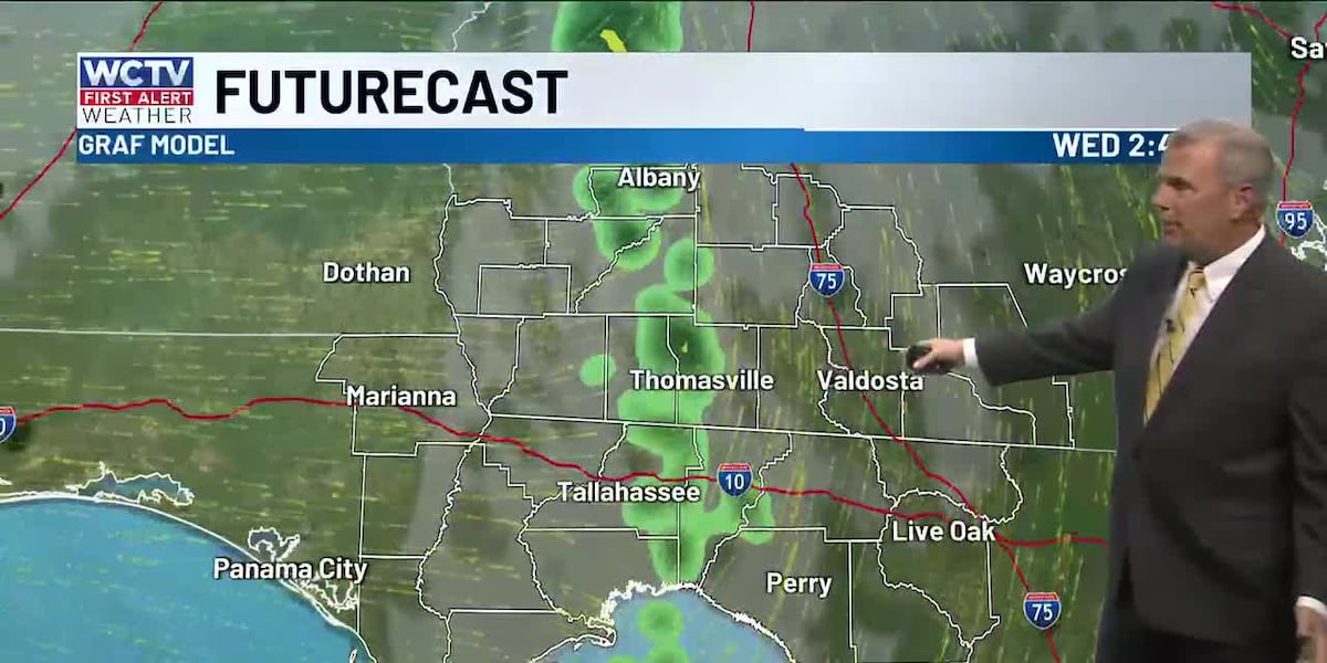
There should be more breaks in the clouds tomorrow, leading to a warmer afternoon. Highs in the low 70s. A cold front approaches the area during the afternoon, which will bring a few showers to the area after 2 p.m. Winds will also turn breezy as the front passes. Gusts between 15 and 20 mph.
Thursday will be a true fall-like day with temperatures once again not climbing out of the 60s.
Halloween will start of chilly with lows near 40. This may be the first light frost of the season for South Georgia. A cool afternoon is expected with highs in the upper 60s and sunny skies.
By trick-or-treat, temperatures will be down into the 50s, so the layered costumes will be a go this year!
Frost will once again be possible Saturday morning. I am expecting morning lows in the upper 30s across the area. Afternoon highs in the low 70s with sunny skies in the afternoon.
⬇️To see your local weather 24/7, check out the WCTV First Alert Weather Now live stream below ⬇️
To stay updated on all the latest forecasts and weather, follow WCTV First Alert Weather on Facebook and X (Twitter).
Click here to see all the latest weather headlines and here to view the First Alert Radar. Receive push alerts and watch the latest forecast anytime on the free WCTV First Alert Weather app. Click here to download it now.
Interested in becoming a WCTV First Alert Weather Watcher? Click here to join the team!
Copyright 2025 WCTV. All rights reserved.