
TALLAHASSEE, Fla. (WCTV) – A chilly start to your Monday is on tap, but we are tracking another warming trend.
Tonight Through Monday Night
High pressure stays in control in the short term, so quiet weather will continue.
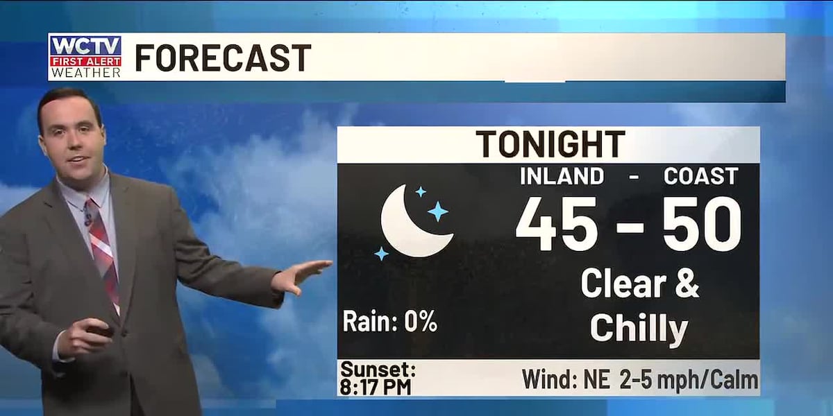
We are dry, clear and chilly for Sunday night. Lows settle in the mid-and-upper-40s. You may need the light jacket for your Monday morning commute.
Another beautiful day is ahead to start the work week. Highs climb into the low-80s on Monday under a mostly sunny sky.
We are dry but not as cool for Monday night. Overnight lows bottom out in the low-50s under a mostly clear to partly cloudy sky.
Tracking A Warming Trend
Temperatures continue to climb for the middle of the week.
A stray shower could be possible on Tuesday, but most of us are dry and warm. Highs reach the mid-80s under some sunshine. Lows fall into the low-60s.
Wednesday is looking mainly dry and warm. Temperatures top out in the upper-80s under a mostly sunny sky. Lows are muggy as we hover in the upper-60s.
Extended Forecast
Looking down the road, we are keeping tabs on another potential weather system.
Scattered showers and a few thunderstorms are looking possible on Thursday.
Temperatures top out in the mid-to-upper-80s under a partly sunny sky.
We are too far away for specifics on timing and storm strength, so be sure that you keep up with the forecast in the coming days.
Low temperatures bottom out in the low-60s by Thursday night.
To stay updated on all the latest forecasts and weather, follow WCTV First Alert Weather on Facebook and X (Twitter).
Click here to see all the latest weather headlines and here to view the First Alert Radar. Receive push alerts and watch the latest forecast anytime on the free WCTV First Alert Weather app. Click here to download it now.
Interested in becoming a WCTV First Alert Weather Watcher? Click here to join the team!
Copyright 2026 WCTV. All rights reserved.