
FORT MYERS, Fla. (WINK)— Lee County has a much better way to track flooding now.
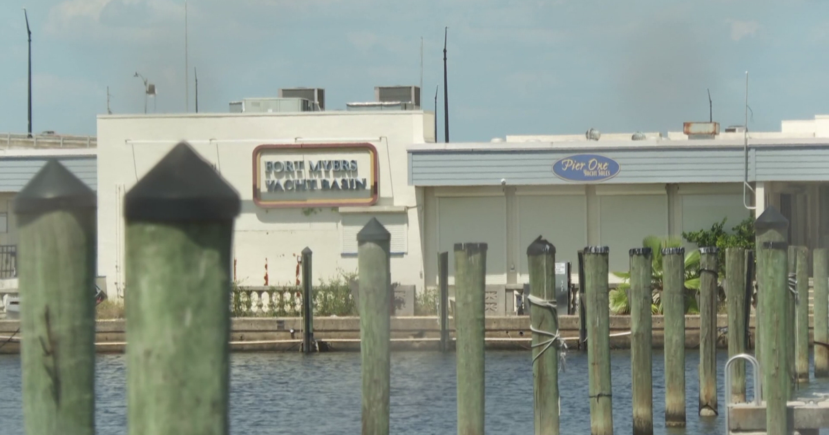
The county installed a network of 19 flood gauges after Hurricane Ian exposed a major gap in water monitoring. Before Ian, only one federal tide gauge existed in Lee County at the Fort Myers Yacht Basin.
“There is only a single federal tide gauge in downtown Fort Myers. So understanding what is happening on the coast or in the back bays where people live has really been a black box,” said Brian Glazer, CEO of Hohonu and University of Hawaii professor.
The new gauges are spread across the county, including a brand-new one installed along the Estero River at the end of April. Several gauges went in just days before Hurricanes Helene and Milton hit Southwest Florida back-to-back.
“Being able to understand where the water was coming, what the difference between wind field and storm surge and storm and compound flooding from rain events was really crucial,” Glazer said.

The gauges don’t just help during hurricanes. They also track flooding during heavy rain and king tides, the naturally higher tides that happen several times each year and can cause sunny day flooding as sea levels continue to rise.
“Flooding is a problem for our near future and being able to measure where that flooding is happening with granularity and making it publicly available is more important than ever before,” Glazer said.
Lee County plans to add two more gauges near Fort Myers Beach and Matanzas Pass. Glazer said they are working to add more weather data to the system to better forecast storm surge levels at each gauge location.