
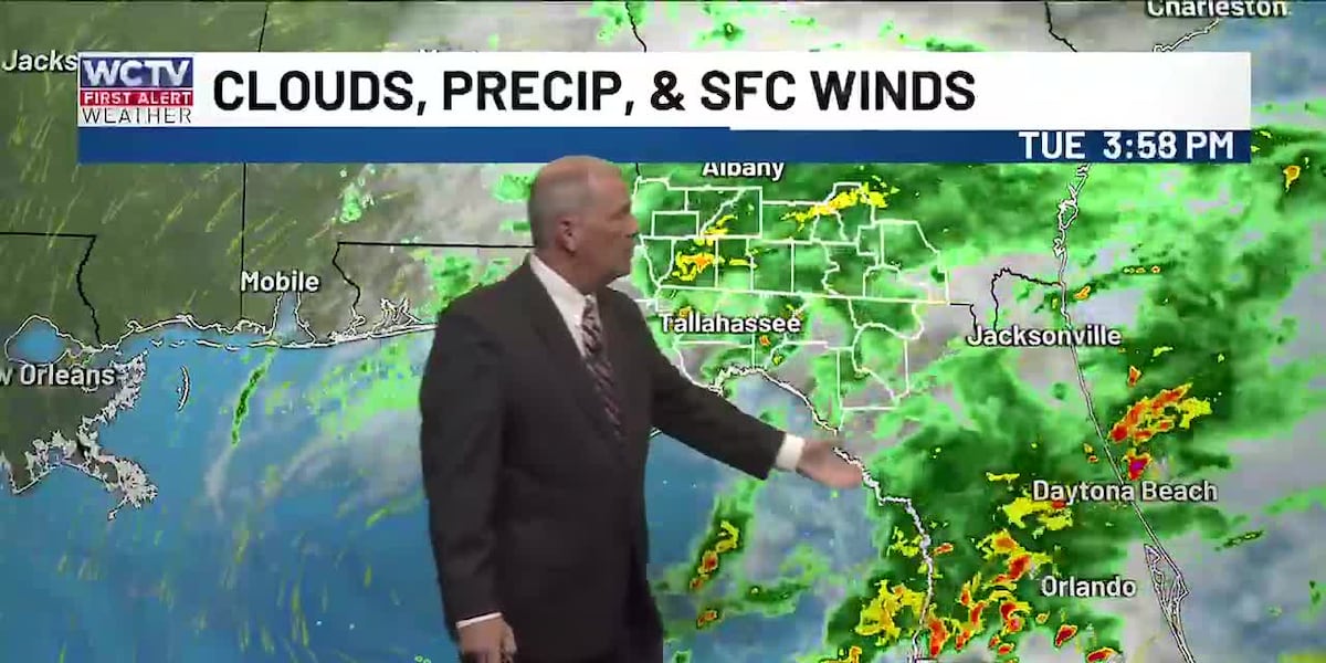
TALLAHASSEE, Fla. (WCTV) – An upper-level disturbance and an old cold front are still bringing scattered showers and a few thunderstorms to our area this evening, but they will dwindle late tonight and overnight.
By sunrise on Wednesday, only a slight chance for isolated showers will remain, mainly over the eastern parts of our region. Drier air will quickly return and stick around for the rest of Wednesday and continue into Thursday, Friday, and Saturday.
The long-range outlook calls for a slight chance of isolated afternoon showers Sunday into early next week.
Drier air will mean cooler mornings, especially by Friday and Saturday, as lows fall back into the 50s. Highs will be in the mid 80s the next few days, but near 90 by this weekend and next week.
To keep up with the latest news as it develops, follow WCTV on Facebook, Instagram, YouTube, Nextdoor and X (Twitter).
Have a news tip or see an error? Write to us here. Please include the article’s headline in your message.
Be the first to see all the biggest headlines by downloading the WCTV News app. Click here to get started.
Copyright 2026 WCTV. All rights reserved.