
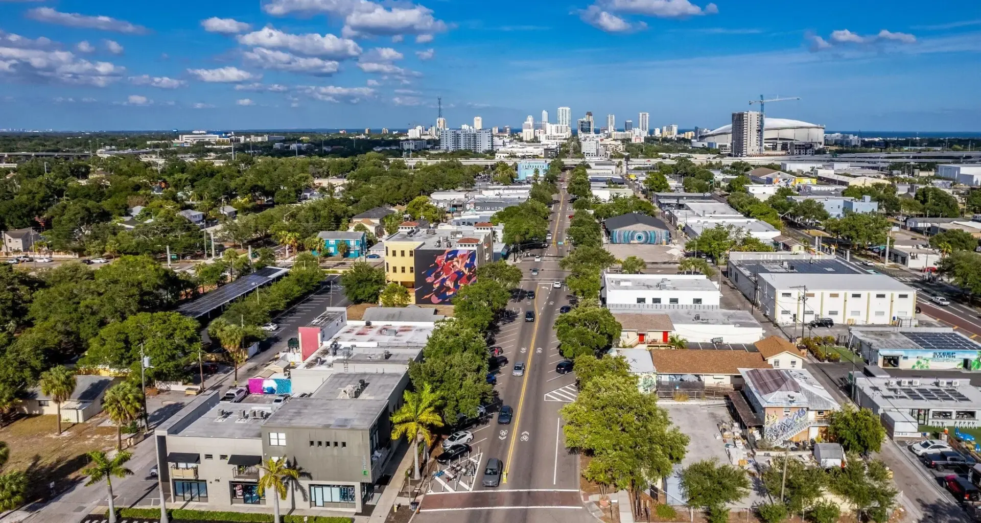
Areas around 22nd Street and 32nd Street are classified as “Urban Station Areas”, with the highest density and tallest buildings, while locations like 40th, 49th, and 58th streets fall into “Neighborhood Station Areas” with more moderate development, and 66th Street is considered a “Village Station Area” with a lower overall scale.
Projects in the Urban Station Area have a base FAR of 4.0, but can qualify for a 1.0 FAR bonus, setting the maximum allowable FAR at 5.0.
As the overlay moves west, the Neighborhood Station Area and Village Station Area have a base FAR of 3.0 and a 1.0 FAR bonus, setting the maximum allowable FAR at 4.0.
FAR bonuses can be granted through contributing to the city’s Housing Capital Improvements Projects (HCIP) trust fund to support workforce housing, the purchase of transfer of development rights (TDRs) from a locally designated landmark site, or implementing specific streetscape design and retail frontage.
“Contiguousness is important. Having a 5.0 FAR across Central makes a lot of sense,” commented Councilmember Copley Gerdes. “Being on the west side of St. Pete and wanting some of what Central has, we’re spreading it out.”
Jake Wollman, a commercial real estate agent at KW Commercial, also said a 5.0 FAR would benefit new investment and business along the corridor.