
TALLAHASSEE, Fla. (WCTV) – High pressure is centered just off the Florida Peninsula, shifting winds more east/southeast today. This will slowly usher in more humid air.
Soaring near 90
Temperatures started off a little milder for the eastern Big Bend, while west Georgia woke up to numbers in the 50s.
Everyone will enjoy the sunshine today and a very warm afternoon. High temperatures reach the low 90s.
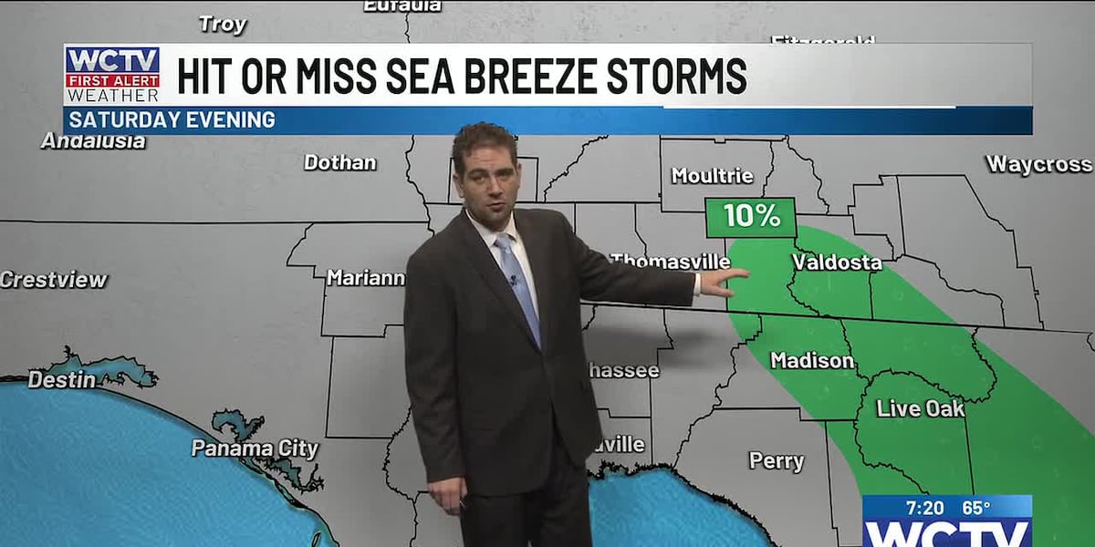
After 6 p.m., a few showers or thunderstorms are possible in the eastern Big Bend and East Georgia. Most of us will NOT see a drop of rain today.
Summer-like sea breeze showers for some
Sunday will be mostly sunny to begin and a tad more muggy than this morning. The moisture will help support early afternoon shower and storm development in the early afternoon and evening from Tallahassee to Cairo and points east.
Before the rain and storms arrive, it will be another very warm day with highs in the upper 80s.
What’s ahead
Next week, we will continue the summer-like pattern with highs hovering slightly above average near 90. Muggy morning lows with temperatures near 70.
A small chance of rain or storms on Monday and Tuesday afternoon. Rain coverage should slowly increase throughout the week as moisture slowly increases.
By late week, a front will pass to our north and likely weaken before making it into our region. The boundary could still help spark storms that leave other boundaries that the sea breeze could interact with, thus higher rain coverage on Thursday and Friday. Still warm in the upper 80s and lows 90s.
To stay updated on all the latest forecasts and weather, follow WCTV First Alert Weather on Facebook and X (Twitter).
Click here to see all the latest weather headlines and here to view the First Alert Radar. Receive push alerts and watch the latest forecast anytime on the free WCTV First Alert Weather app. Click here to download it now.
Interested in becoming a WCTV First Alert Weather Watcher? Click here to join the team!
Copyright 2026 WCTV. All rights reserved.