
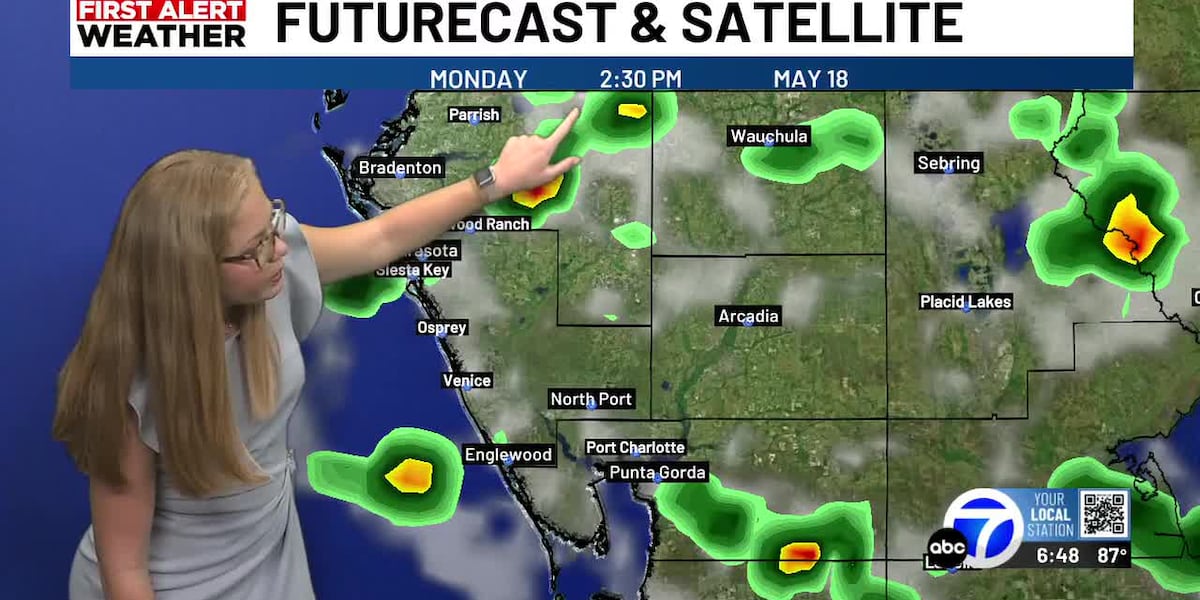
SARASOTA, Fla. (WWSB) – Today: We’ve gotten some good rain this afternoon as we welcome in our much needed rainy season! We continue to watch for scattered storms and showers this evening and to begin our night time hours. So far, The Suncoast has seen roughly .5-1.0″ of rain. Localized inland hot spots even saw near 3″ of rain in DeSoto County.
Tonight: Overnight lows are expected to stay warm and muggy in the mid to upper 70s areawide.
Monday: Tomorrow, expect more summer-like rain chances in the late afternoon hours. A 40% chance is expected. High temperatures in the upper 80s to near 90 degrees for the coast and in the low to mid 90s inland.
Tuesday: Expect the air to feel on the heavier side thanks to dew points in the 70s. By Tuesday they’re forecast to be in the upper 70s.. Inching up to an oppressive feel. Another 60% chance of afternoon storms and showers are expected for Tuesday.
This week: By the midweek, rain chances will begin to decrease to isolated afternoon showers. Dewpoints and high temperatures stay on theme being hot and humid. Highs are expected in the upper 80 to low 90s and dew points in the 70s.
Copyright 2026 WWSB. All rights reserved.