
TALLAHASSEE, Fla. (WCTV) – This morning, there are a few showers around the Big Bend and South Georgia.
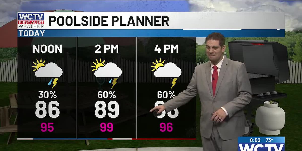
There will be a quiet period mid-morning for most before additional showers and storms develop along the sea breeze. In between showers and storms, it is going to be very warm and humid. Temperatures will climb to near 90.
If you have outdoor plans, no need to cancel them. Just be sure you have backup plans to move indoors during an afternoon downpour. Some storms might last a few minutes, while others may last an hour or so.
Rainfall totals will vary based on where the storms set up. Regionally, between three and four inches of rain inland over the next five days looks like a good bet. While coastal communities will not see nearly as much rain action.
For those heading to the Gulf, skies will gradually clear as the sea breeze slides inland, giving way to a breezy afternoon. Waves 1 to 2 feet and a light chop on protected waters. The Rip current risk is high, so be mindful of how deep you get into the water. A rip current will pull you out to sea if you get caught in one. Swim parallel to the shore and try to stay calm if you are pulled out.
Tomorrow and Memorial Day will be the same. Pop-up showers and storms. Warm and humid in between showers. I want to reiterate, despite the 60 to 70% chance of rain, this is not a washout of a weekend.
;
To stay updated on all the latest forecasts and weather, follow WCTV First Alert Weather on Facebook and X (Twitter).
Click here to see all the latest weather headlines and here to view the First Alert Radar. Receive push alerts and watch the latest forecast anytime on the free WCTV First Alert Weather app. Click here to download it now.
Interested in becoming a WCTV First Alert Weather Watcher? Click here to join the team!
Copyright 2026 WCTV. All rights reserved.