
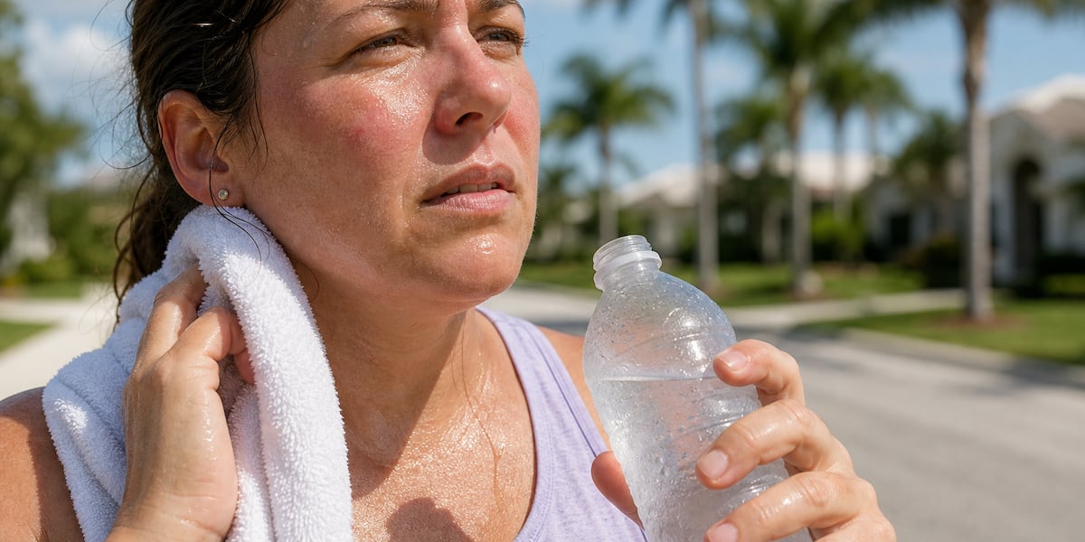
SARASOTA, Fla. (WWSB) – If you stepped outside lately and instantly felt like someone wrapped you in a warm wet towel… you’re not imagining it.
Florida is starting to feel VERY Florida again.
The sticky air is back. Afternoon thunderstorms are beginning to pop. The Gulf is acting tropical. And the atmosphere across the Southeast is loading up with deep moisture as we head toward the unofficial start of summer.
In weather terms, we’re talking about rising dew points, tropical humidity, and a more summer-like pattern settling in across the state.
And yes…this is the same kind of atmospheric setup Florida becomes famous for every year.
The air suddenly feels heavier
One of the biggest changes is humidity.
When dew points climb into the 70s, the air starts feeling thick and tropical. Sweat doesn’t evaporate well, mornings feel muggy, and even evenings stay warm and sticky.
That’s exactly what’s happening now.
The combination of:
warm Gulf waterssoutheast windsand increasing tropical moisture
is helping Florida transition away from the drier spring pattern we’ve had recently.
Translation?
Summer is starting to knock on the door.
Actually… Florida may have already opened it.
The work week ahead looks more stormy
The pattern this week is becoming increasingly favorable for scattered afternoon and evening thunderstorms across Florida.
A trough of low pressure over the Gulf is helping pull deep tropical moisture northward, while daytime heating and sea breeze boundaries help storms develop inland during the afternoons.
That means:
hotter and stickier afternoonsincreasing rain and lightning chancesand more typical late-May Florida weather through the week.
Rain won’t be nonstop every day, but many neighborhoods will begin seeing more of those classic “sunny one minute, pouring the next” Florida-style storms.
Some storms could also produce:
heavy downpoursgusty windsfrequent lightningand brief localized street flooding.The upcoming weekend could turn even wetter
By next weekend, Florida’s rain chances may increase even more.
Why?
The atmosphere across the Gulf and Caribbean is becoming increasingly moisture-rich, and forecast models suggest deeper tropical moisture may continue spreading northward into Florida heading into the weekend.
At the same time:
lighter steering windsdaytime heatingand sea breeze collisions
could help thunderstorms become slower moving and more widespread.
That raises the possibility for:
more numerous afternoon stormslonger-lasting downpoursand localized flooding concerns in spots that get repeated heavy rain.
It’s still way too early to pinpoint exact rainfall totals or the wettest locations, but the overall pattern definitely looks more humid, tropical, and storm-prone heading into the weekend.
Basically…
Florida’s summer engine is warming up.
The Gulf is getting active again
The National Hurricane Center says abundant tropical moisture is spreading across the Gulf right now, especially over the central and eastern Gulf.
An upper-level trough interacting with that moisture is already helping produce:
scattered thunderstormsgusty windsheavy rainrough seasand frequent lightning over parts of the Gulf.
This doesn’t mean a tropical storm is forming.
But it DOES mean the atmosphere is becoming more tropical and energetic again.
And if you’ve lived in Florida long enough, you know the feeling:hot mornings…towering clouds by afternoon…thunder rumbling in the distance by dinner.
Yep. That Florida feeling is back.
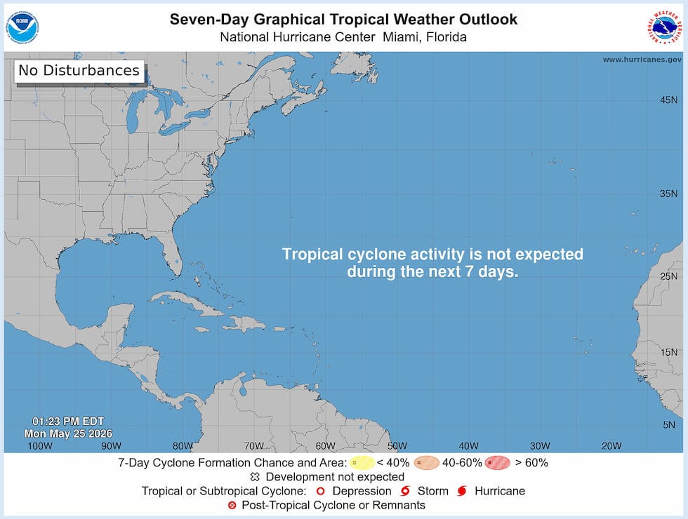 NOAA 7 Day Outlook(NOAA)Why this matters heading into hurricane season
Hurricane season officially begins June 1.
And while there are currently no tropical development areas being tracked by the National Hurricane Center, conditions across the Gulf and Caribbean are definitely becoming more summer-like.
The latest tropical weather discussion shows:
strong tropical moisture across the Gulfactive tropical waves in the Atlantic and Caribbeanstrengthening trade winds in the Caribbeanand increasing thunderstorm activity in multiple tropical regions.
Right now, nothing appears immediately threatening.
But this is the time of year when meteorologists begin watching the atmosphere much more carefully as the tropics slowly wake up.
The bottom line
Florida suddenly feels VERY Florida again because the atmosphere is transitioning into its warm-season personality:
hotter airthicker humiditytropical moistureafternoon stormsand Gulf energy increasing.
And honestly?
If your glasses fogged up walking outside this week… welcome back to Florida summer.
Copyright 2026 WWSB. All rights reserved.