
Tropical moisture fuels rain, storms in Central Florida this weekend | Impact Weather
Track the Impact Weather with meteorologist Victoria Wisniewski
OUR WEBSITE. THERE’S A LOT GOING ON THIS MORNING AND THROUGHOUT THE WEEKEND. GLADLY, THOSE EVENTS ARE HAPPENING EARLIER THIS MORNING BEFORE SOME OF THE HEAVIER RAIN MOVES IN THIS AFTERNOON. COUPLE SHOWERS THIS MORNING. THAT’S NORMALLY HOW IT IS, BUT IT’S VERY HUMID. HEADING OUT THE DOOR. CHRISTINA. BUT LATER ON TODAY WE’LL SEE A COUPLE OF HEAVIER DOWNPOURS THAT SOME OF THEM WILL BE MORE CAPABLE OF PRODUCING SOME HIGHER RAINFALL AMOUNTS. SO LET’S GET YOU THROUGH WITH YOUR SEVEN DAY FORECAST. WE’RE STARTING OUT NICE AND STRONG, BUT WE HAVE IMPACT. WHETHER YOU SEE THOSE YELLOW ICONS THERE, LETTING YOU KNOW THAT, WELL, A LOT OF THE RAIN THAT WE’RE GOING TO BE SEEING WILL BE ABLE TO PRODUCE SOME HIGHER RAINFALL AMOUNTS, TEMPERATURES OVER THE NEXT COUPLE OF DAYS, UPPER 80S. BUT FEELING LIKE THE MID 90S. IT’S THIS TROPICAL GULF MOISTURE THAT IS INCREASING THE AMOUNT OF RAIN THAT CAN FALL IN A SHORT PERIOD OF TIME ACROSS PARTS OF CENTRAL FLORIDA. THAT’S WHY AS WE HEAD THROUGH TODAY, IT’S A BIT OF A CLOUDY START WITH A COUPLE SHOWERS. BUT BY THIS AFTERNOON, MOST OF THAT RAIN IS GOING TO SHIFT NORTH AND EAST, MOVING UP TOWARDS PALM COAST. PARTS OF DAYTONA BEACH AND ALONG THE I-95 CORRIDOR. THAT DOESN’T MEAN ORLANDO IS GOING TO BE DRY. WE’LL STILL SEE A COUPLE SHOWERS, BUT IT’S CERTAINLY GOING TO BE THE BULL’S EYE NORTH AND FURTHER EAST. NEW SMYRNA BEACH HAS SOME CLOUDS AND SHOWERS AT THIS HOUR. COMING IN AT 73 DEGREES. IT’S 77 IN ORLANDO AND 74 TOWARDS SANFORD, 76 IN LEESBURG. AT THIS HOUR. HERE’S A WAVE OF RAIN THAT HAS BEEN MOVING IN OVER THE PAST COUPLE HOURS, BUT IS NOW JUST MOVING OFF SHORE. WE’LL ZOOM ON IN TOWARDS PARTS OF VOLUSIA COUNTY, MOVING IN A LITTLE FURTHER INLAND. SANFORD, LONGWOOD AREAS OF BITHLO MOVING IN TOWARDS OAK HILL FARM TOWN. THAT’S WHO IS SEEING SOME OF THE REMAINDER OF THE RAIN. AND NOW WE’RE JUST GOING TO BE A LITTLE SHOWERY IF YOU’RE NORTH OF THE CITY. BEAUTIFUL. BEFORE THE REST OF THAT RAIN MOVES IN. 88 IN ORLANDO IS YOUR HIGH TEMPERATURE. WE’RE LOOKING AT 89 TOWARDS SANFORD AND 89 IN DELAND. TAKE A LOOK HOW IT’S GOING TO BE FEELING LATER ON TODAY. LOW TO MID 90S. COULD BE FEELING LIKE 95 DEGREES TOWARDS SOME LOCATIONS BETWEEN 3 TO 5 P.M. LATER ON TODAY. SO STAY HYDRATED. THE HUMIDITY IS THE REASON FOR THAT. YOU SEE THESE SHOWERS MOVING OUT AND THEN WE’LL JUST SEE SOME ISOLATED TO SCATTERED SHOWERS NORTH OF THE CITY. A COUPLE OF THEM COULD MAKE THEIR WAY TOWARDS PARTS OF ORLANDO, BUT THEN YOU SEE SOME OF THOSE DARKER COLORS, THE YELLOW, ORANGE, AND THE RED. THAT’S GOING TO INDICATE SOME OF THE CELLS THAT COULD BE PRODUCING 2 TO 3, 2 TO 3 INCH PER HOUR RAIN RATES. THAT WILL MOVE OUT AROUND 8 TO 9 P.M., AND WE COULD SEE A COUPLE MORE SHOWERS AS WE HEAD THROUGHOUT THE EVENING AND THE OVERNIGHT. THE REASON FOR ALL OF THIS, NOT ONLY IS THE TROPICAL MOISTURE COMING OUT OF THE GULF, BUT ALSO THE STATIONARY FRONT. IT’S JUST HANGING AROUND. IT WILL EVENTUALLY PUSH A LITTLE FURTHER SOUTH, BRINGING THAT MORE OF THAT RAINFALL WE’RE SEEING HERE TOWARDS PARTS OF SOUTH FLORIDA. BUT AS WE HEAD INTO YOUR WEDNESDAY, WE’RE ACTUALLY WATCHING ANOTHER CHANCE FOR A LOW PRESSURE TO DEVELOP. NOW, THIS IS NOT NECESSARILY GOING TO DEVELOP INTO SOMETHING AS WE WATCH HURRICANE SEASON, BUT IT COULD JUST BE BRINGING MORE MOISTURE TO US, THEREFORE INCREASING MORE OF OUR RAINFALL, TRACKING THE TROPICS THERE AS WE DO HEAD TOWARDS YOUR HURRICANE SEASON BEGINNING ON THE FIRST, WE ARE NOT LOOKING AT ANY CONCERNS OVER THE NEXT COUPLE OF DAYS, BUT IF WE DO HAVE ANY CHANGES, WE WILL CERTAINLY LET YOU KNOW. WITH ALL OF OUR FORECAST UPDATES, LOOK AT YOUR. CERTIFIED MOST ACCURATE SEVEN DAY FORECAST ACROSS THE SUNSHINE STATE. IMPACT WEATHER WILL DROP AS WE HEAD TOWAR
Tropical moisture fuels rain, storms in Central Florida this weekend | Impact Weather
Track the Impact Weather with meteorologist Victoria Wisniewski

Updated: 8:12 AM EDT May 30, 2026
A humid Saturday is in store for Central Florida, with tropical moisture from the Gulf helping to fuel afternoon showers and thunderstorms.High temperatures will climb into the mid- to upper 80s, but it will feel more like the 90s.Timeline for rain, stormsWESH 2’s First Warning Weather Team has designated this afternoon as Impact Weather beginning at 1 p.m. The greatest chance for storms will be east of Orlando and along the coast. An isolated cell may be on the stronger side. The rain and storms will move out of the area after 8 p.m.Looking aheadImpact Weather is expected to continue across Central Florida through Monday as tropical moisture from the Gulf fuels rounds of showers and thunderstorms.The 2026 Atlantic hurricane season officially begins June 1 and runs through Nov. 30.As of Saturday, no tropical activity is expected over the next seven days, but WESH 2’s First Warning Weather Team is keeping a close eye on a possible weak tropical development in the Gulf late next week.We will continue monitoring the tropics and forecast models closely.What is Impact Weather?Impact Weather suggests weather conditions could be disruptive or a nuisance for travel and day-to-day activities.DOWNLOAD the free WESH 2 News app for your latest news and alerts on breaking news, weather, sports, entertainment and more on your phone or tablet. And check out the Very Local app to stream news, entertainment and original programming on your TV.
Central Florida —
A humid Saturday is in store for Central Florida, with tropical moisture from the Gulf helping to fuel afternoon showers and thunderstorms.
High temperatures will climb into the mid- to upper 80s, but it will feel more like the 90s.
Timeline for rain, storms
WESH 2’s First Warning Weather Team has designated this afternoon as Impact Weather beginning at 1 p.m.
The greatest chance for storms will be east of Orlando and along the coast. An isolated cell may be on the stronger side.
The rain and storms will move out of the area after 8 p.m.
Looking ahead
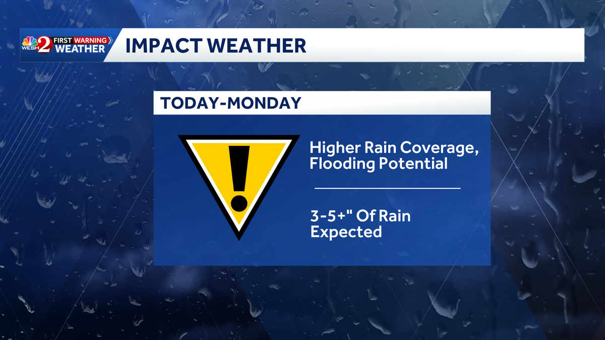
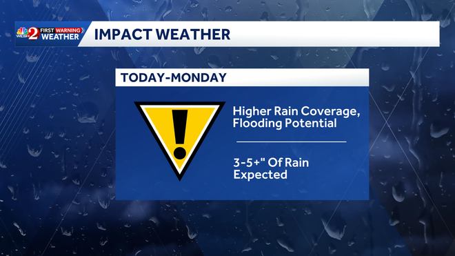
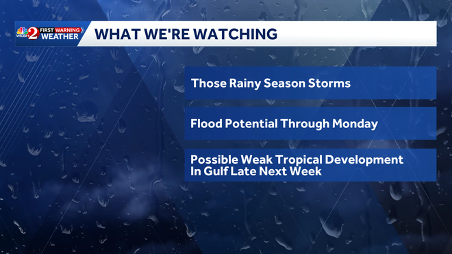
Impact Weather is expected to continue across Central Florida through Monday as tropical moisture from the Gulf fuels rounds of showers and thunderstorms.
The 2026 Atlantic hurricane season officially begins June 1 and runs through Nov. 30.
As of Saturday, no tropical activity is expected over the next seven days, but WESH 2’s First Warning Weather Team is keeping a close eye on a possible weak tropical development in the Gulf late next week.
We will continue monitoring the tropics and forecast models closely.
What is Impact Weather?
Impact Weather suggests weather conditions could be disruptive or a nuisance for travel and day-to-day activities.
DOWNLOAD the free WESH 2 News app for your latest news and alerts on breaking news, weather, sports, entertainment and more on your phone or tablet. And check out the Very Local app to stream news, entertainment and original programming on your TV.