
TALLAHASSEE, Fla. (WCTV) – Temperatures are cold to start your Saturday, but a gorgeous afternoon is ahead.
Saturday Forecast
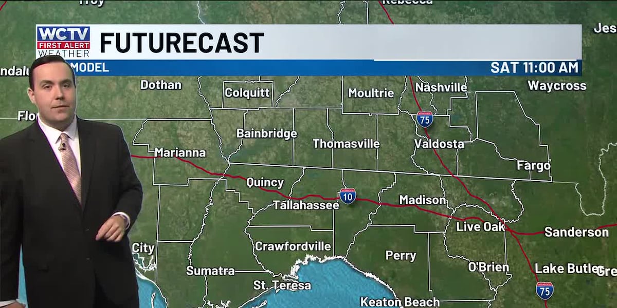
After some upper-30s to kick off your Saturday, we are tracking a nice rebound for the afternoon.
We remain dry under a sunny sky. Temperatures climb into the lower-70s.
Calm weather will continue for the evening. We are tracking dry conditions under a clear sky.
However, clouds should begin to increase for late Saturday and early Sunday as a weak weather system approaches the area. Lows hover in the low-40s.
Weak Cold Front
We are expecting more clouds on Sunday, and this should keep temperatures a few degrees lower.
A stray shower is possible on Sunday, but most of us are looking dry. Highs hover in the upper-60s to low-70s.
Again, a couple of showers are possible for Sunday night, but the rain coverage is not widespread. Overnight lows bottom out in the upper-40s.
An isolated shower could linger into Monday morning, but we are anticipating mostly dry conditions under some sunshine. Temperatures hover in the upper-60s, with lows in the mid-40s.
Extended Forecast
The weather pattern is looking dry and mostly sunny for midweek.
Highs on Tuesday and Wednesday climb into the mid-and-upper-70s.
Overnight lows bottom out in the mid-40s.
To stay updated on all the latest forecasts and weather, follow WCTV First Alert Weather on Facebook and X (Twitter).
Click here to see all the latest weather headlines and here to view the First Alert Radar. Receive push alerts and watch the latest forecast anytime on the free WCTV First Alert Weather app. Click here to download it now.
Interested in becoming a WCTV First Alert Weather Watcher? Click here to join the team!
Copyright 2025 WCTV. All rights reserved.