
JACKSONVILLE, Fla. — Here’s what the First Alert Weather Team said you can expect for the First Alert Weather forecast:
Jacksonville dropped to 41 degrees Saturday morning – the coldest morning since MarchSaturday’s been fabulous with plenty of sun & temps in the 60s and 70sTonight will be cool, but not as cold as last nightDon’t forget: we FALL BACK out of Daylight Saving time at 2 AM Sunday, back to 1 AMWe gain an hour, but get ready for earlier sunrises and sunsetsSunday will be warmer with more clouds as a storm system tracks north of the area overnightWe may see a shower or two before sunrise Monday, but most spots stay dry A weak cold front moves through with the rainOur temps drop slightly Monday afternoon & Tuesday morningTemperatures will gradually warm up into the 80s by late week & next weekendThere is no rain of any consequence in view for the next week as really nice weather continues,
WATCH THE FORECAST | DOWNLOAD THE APPS
Tropics:There are no active storms, and no development is expected in the next weekHurricane season ends November 30
Follow Action News Jax Meteorologists on Twitter for updates:
Mike Buresh | Garrett Bedenbaugh | Corey Simma | Trevor Gibbs
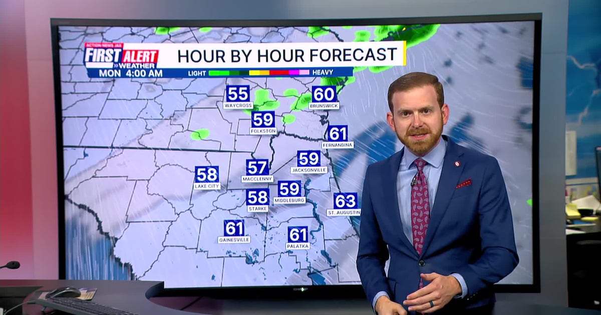
First Alert 7-day Forecast:TONIGHT: Clear & Chilly. Low: 48TOMORROW: Mostly to Partly Sunny, Pleasant. High: 73MON: Iso. Shower Early, Becoming Mostly Sunny. 53/70TUE: Sunny. 48/72WED: Sunny. 51/76THU: Sunny. 52/75FRI: Mostly to Partly Sunny. 56/80SAT: Partly Cloudy. 57/81
INTERACTIVE RADAR: Keep track of the rain as it moves through your neighborhood