
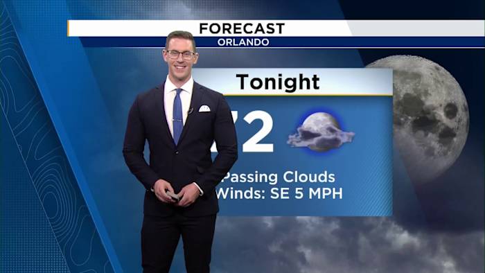
Sea breeze storms return to Central Florida by mid-week.
ORLANDO, Fla. – Our stretch of dry and sunny weather will continue as we push into the upcoming work week with the addition of slightly higher humidity. Enjoy it while you can, we transition back to our afternoon summer storms later this week.
Dry conditions with high temperatures in the low 90s Monday Afternoon.
We hang onto enough dry air to keep rain chances at bay for your Monday. Expect a mix of sun and clouds with high temperatures in the low 90s. You’ll notice a bit more of a stick in the air as well compared to the last few days.
Isolated sprinkle possible Tuesday afternoon.
Tuesday presents a rinse and repeat forecast with the exception of one or two isolated sprinkles on the sea breeze.
Sea breeze storms return to Central Florida by week’s end
Rain chances really start to come back mid-week as our atmospheric moisture begins to build thanks to our onshore breeze. Scattered sea breeze storms will dance around Central Florida by week’s end with highs in the low 90s.
Daily Forecast
The News 6 Weather team ensures you’re always on top of the day’s weather.
Copyright 2026 by WKMG ClickOrlando – All rights reserved.
About the AuthorJordan Patrick headshotJordan Patrick
AMS Certified Meteorologist with a decade of experience forecasting in the state of Florida. Jordan has covered some of the state’s most recognized hurricanes including Irma, Michael, Ian, Milton, and Helene.