
TALLAHASSEE, Fla. (WCTV) – Hot and humid weather is here and is going nowhere.
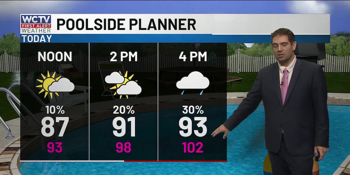
Today is a great day to spend at the pool. A mix of sun and clouds this afternoon with highs reaching the low 90s. With high humidity, it will feel like the mid to upper 90s.
Hot and humid ahead:
Scattered showers develop after lunch. Most people will NOT get a cooling shower. The best chance of rain will be the big bend between Highway 98 and the state line.
Tonight temperatures will not cool much, we’re talking about low to mid-70s and staying muggy. That means the air conditioner and fans will probably need to be running for most to stay comfortable.
Over the next several days, heat is going to be the main story. Highs in the low to mid-90s. Feels like temperatures near the triple digits. Morning lows will stay uncomfortable over the next week as well.
Tracking better rain chances:
Rain chances will stay hit or miss through the end of the week, but start to become more widespread this weekend. Two factors are leading to some higher coverage.
A cold front will approach the southeast this weekend. This will be accompanied by deep tropical moisture, enhanced by what is Tropical Storm Cristina in the Eastern Pacific.
To stay updated on all the latest forecasts and weather, follow WCTV First Alert Weather on Facebook and X (Twitter).
Click here to see all the latest weather headlines and here to view the First Alert Radar. Receive push alerts and watch the latest forecast anytime on the free WCTV First Alert Weather app. Click here to download it now.
Interested in becoming a WCTV First Alert Weather Watcher? Click here to join the team!
Copyright 2026 WCTV. All rights reserved.