
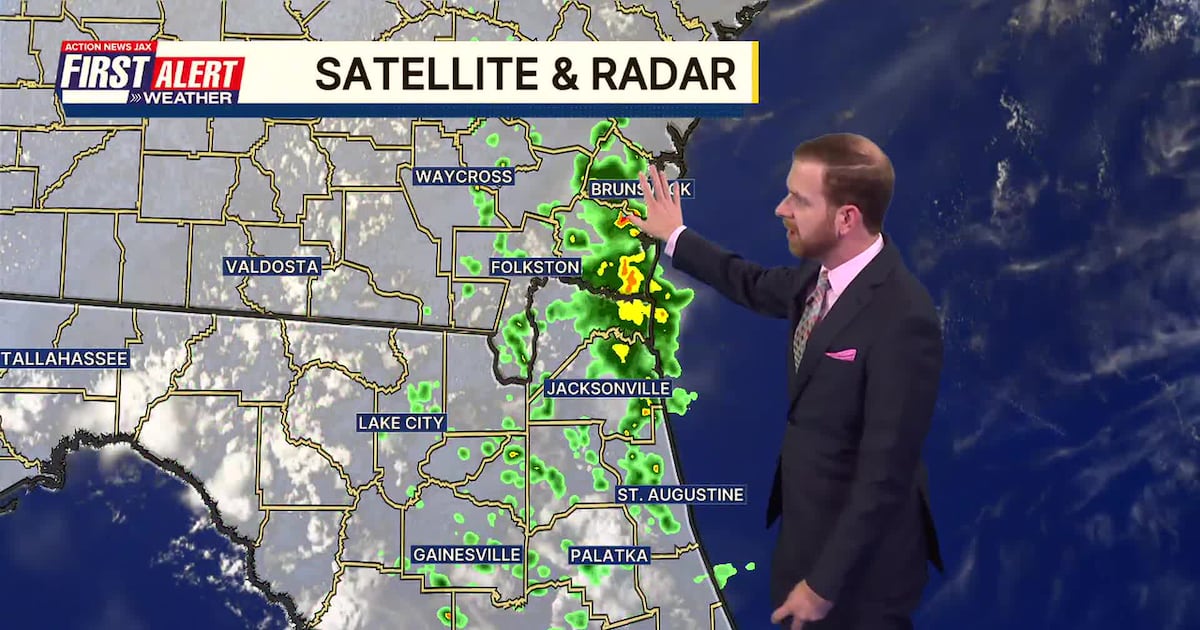
JACKSONVILLE, Fla. — Here’s what the First Alert Weather Team said you can expect for the forecast:
A few evening showers tonight south & west of Jacksonville with some locally heavy downpours in Putnam Co. in particular. Partly cloudy skies overnight with lows in the low to mid 70s.Thursday & Friday will turn hotter with isolated afternoon t’storms, especially inland. Highs reach the low to mid-90s.Afternoon storms will increase over the weekend with highs in the mid-90s and feel-like temps. 100+.
WATCH THE FORECAST | DOWNLOAD THE APPS
Follow Action News Jax Meteorologists on Twitter for updates:
Mike Buresh | Garrett Bedenbaugh | Corey Simma | Trevor Gibbs
Tropics:All is quiet – “Arthur” is the first name on the Atlantic list. We’re keeping an eye on the Western Gulf for some possible weak tropical development toward this weekend/early next week.
ALLERGY TRACKER: See what the pollen counts look like in our area
LISTEN: Mike Buresh ‘All the Weather, All the Time’ Podcast
First Alert 7-day Forecast:TONIGHT: A few inland evening showers south & west of Jax… partly cloudy. Low: 71THURSDAY: Partly sunny with an isolated afternoon storms. High: 92THURSDAY NIGHT: Isolated storm early… partly cloudy. Low: 72FRIDAY: Partly sunny with an isolated afternoon/evening t’storms. High: 95SATURDAY: Partly sunny with a few afternoon showers/t’storm. 73/94SUNDAY: Partly sunny with scattered afternoon showers & t’storms. 73/92MONDAY: Partly sunny with scattered afternoon showers/t’storms. 73/93TUESDAY: Partly sunny, scattered afternoon showers/t’storms. 74/92WEDNESDAY: Partly sunny, scattered afternoon showers/t’storms. 73/91
INTERACTIVE RADAR: Keep track of the rain as it moves through your neighborhood