
TALLAHASSEE, Fla. (WCTV) – An area of high pressure will control the forecast for much of the upcoming week.
Tonight Through Monday Night
After plenty of clouds on Sunday, we are tracking a clearing trend for the overnight. Temperatures are chilly. We bottom out in the mid-to-low-40s by Monday morning.
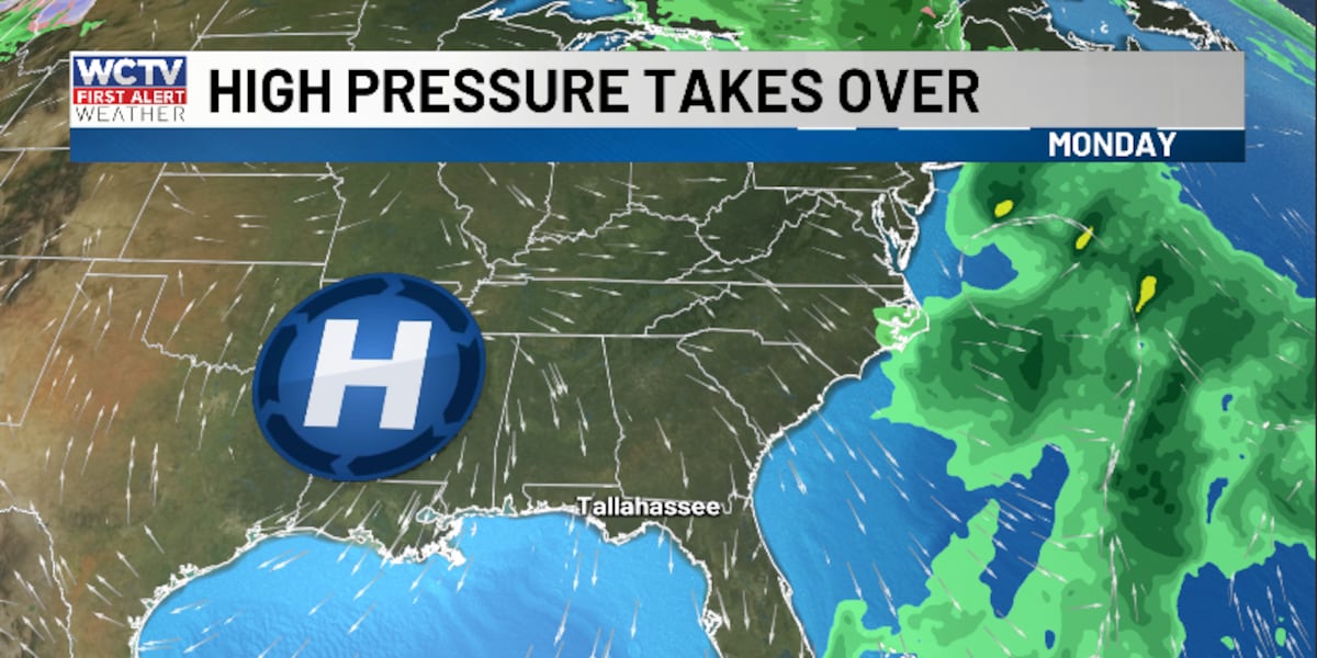
A beautiful day is on tap to start the work week. We are tracking dry, sunny conditions on Monday. A heads up, the wind could be a little breezy at times. We could see some wind gusts to 15-20 mph.
Temperatures on Monday hover in the upper-60s and low-70s.
We remain quiet and cool for Monday night. Lows dip into the low-40s under a clear sky.
Middle Of The Week
The big story for the middle of the week, a warming trend is on the way.
We stay dry and sunny on Tuesday and Wednesday.
Highs climb into the mid-and-upper-70s across the Big Bend and South Georgia.
Overnight lows settle in the mid-and-upper-40s.
Ending The Work Week
Dry weather will continue to end the work week.
Temperatures stay mild under a mostly sunny sky.
Highs reach the upper-70s and low-80s for Thursday and Friday.
Low temperatures bottom out near 50º for Thursday night, but we see lows in the upper-50s by Friday night.
To stay updated on all the latest forecasts and weather, follow WCTV First Alert Weather on Facebook and X (Twitter).
Click here to see all the latest weather headlines and here to view the First Alert Radar. Receive push alerts and watch the latest forecast anytime on the free WCTV First Alert Weather app. Click here to download it now.
Interested in becoming a WCTV First Alert Weather Watcher? Click here to join the team!
Copyright 2025 WCTV. All rights reserved.