
Denis Phillips, chief meteorologist for Tampa Bay 28, wrote in a social media post, “Low pressure will move over the water today and will have a chance to develop before it moves back on-shore in Louisiana. Again, the threat of flooding, from rain, along the track of this system is the biggest concern. Much of this will likely occur well away from the coast.”
Because the system is currently so close to the coast, rapid intensification isn’t expected, forecasters added.
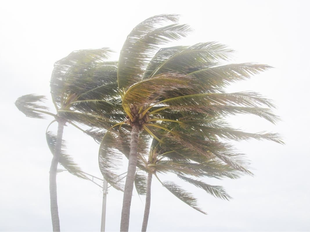
Whether it strengthens or not, the system will still likely bring heavy rain, gusty winds, coastal flooding, and “widespread, life-threatening flash, urban, and river flooding” to southern and eastern Texas, as well as parts of Louisiana and Mississippi, NHC meteorologists said.
A broad zone from south Texas to eastern Alabama could see 4 to 8 inches of rain, with a substantial area getting as many as 8 to 12 inches, and even up to 20 inches in some parts, AccuWeather said.
Severe thunderstorms with gusty winds, coastal flooding and the potential for tornadoes or waterspouts are also possible along parts of the northwestern Gulf Coast, including the Florida Panhandle, experts said.