
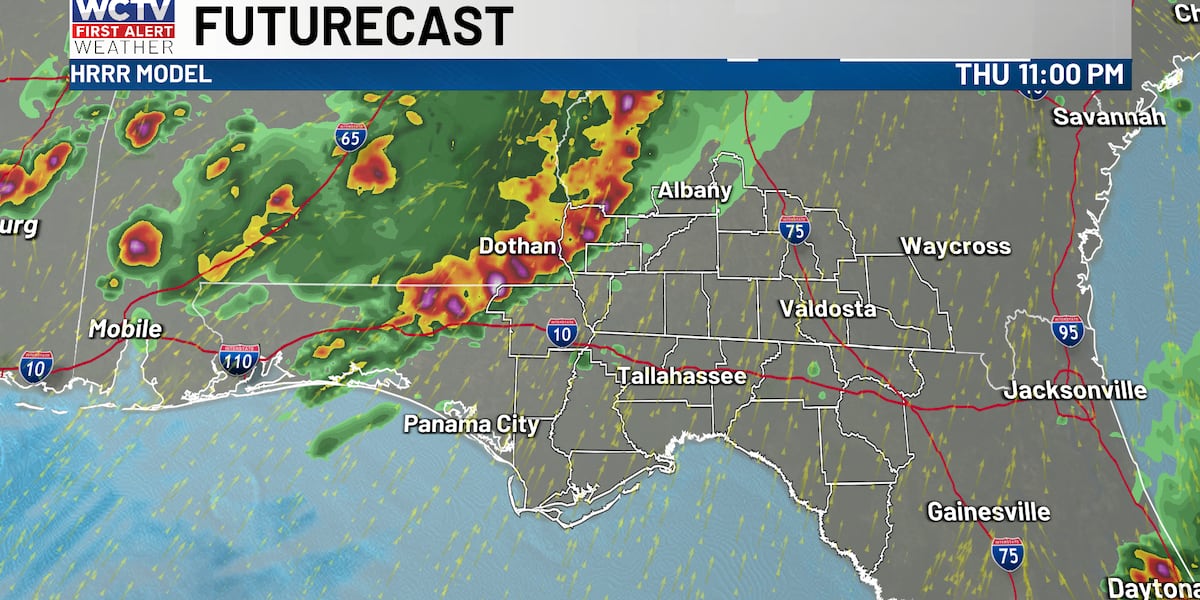
TALLAHASSEE, Fla. (WCTV) – Scattered showers and storms are expected this evening and the possibility of rain continues through the overnight.
A small risk for stronger storms with gusty winds and an isolated, brief tornado is not out of the question. Be sure to have ways to get weather alerts through this evening. The highest chance of stronger storms is for the Western Big Bend and Western Georgia, where a tornado watch is in effect.
Most of us will NOT see rain and strong storms this evening, so outdoor plans look just fine. It is just going to be HOT and Humid.
Organized rain and storms look most likely overnight through early tomorrow morning, especially for the western Big Bend and western Georgia.
More organized showers and thunderstorms are expected tomorrow afternoon and evening. Localized flooding, strong winds 40 to 60 mph and an isolated tornado remain possible tomorrow.
Scattered rain and storms remain possible for your weekend. Highs staying in the low 90s. Feels-like
Rain coverage is looking lower as we head into next week, but temperatures are starting to rise into the mid-90s. Feels-like temperatures will be near or above triple digits.
To stay updated on all the latest forecasts and weather, follow WCTV First Alert Weather on Facebook and X (Twitter).
Click here to see all the latest weather headlines and here to view the First Alert Radar. Receive push alerts and watch the latest forecast anytime on the free WCTV First Alert Weather app. Click here to download it now.
Interested in becoming a WCTV First Alert Weather Watcher? Click here to join the team!
Copyright 2026 WCTV. All rights reserved.