
TALLAHASSEE, Fla. (WCTV) – You may need the jacket for your Tuesday morning commute, but another sunny, warm afternoon is ahead.
Tuesday Forecast
High pressure is the name of the game for much of the work week. As a result, our dry weather will continue.
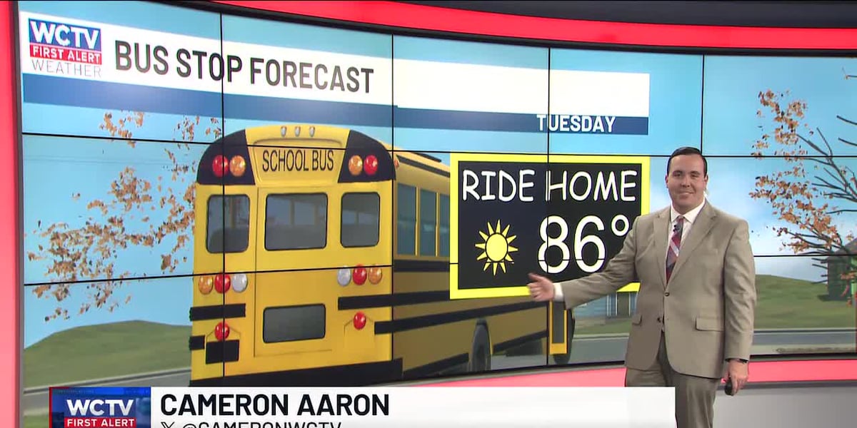
Temperatures on Tuesday top out in the mid-80s under plenty of sunshine.
We are tracking calm, cool conditions to continue for Tuesday evening. Overnight lows bottom out in the mid-50s under a clear sky.
No Big Changes
Our “copy and paste” forecast will stick around through the end of the work week.
We remain dry and mostly sunny for Wednesday, Thursday and Friday.
Highs top out in the mid-and-upper-80s. Overnight lows settle in the mid-and-upper-50s.
Weekend Forecast
Looking ahead, we are tracking our next weather system.
Saturday is looking dry and mild. Highs hover in the mid-80s under a mostly sunny sky. Lows fall into the low-60s.
On Sunday, a cold front looks to move across the Big Bend and South Georgia, and this weather system will likely bring more showers.
We are not talking a drought-ending rain, but some beneficial showers after our dry spell.
Highs on Sunday top out in the low-to-mid-80s under a partly sunny sky. Lows fall into the low-and-mid-60s.
To stay updated on all the latest forecasts and weather, follow WCTV First Alert Weather on Facebook and X (Twitter).
Click here to see all the latest weather headlines and here to view the First Alert Radar. Receive push alerts and watch the latest forecast anytime on the free WCTV First Alert Weather app. Click here to download it now.
Interested in becoming a WCTV First Alert Weather Watcher? Click here to join the team!
Copyright 2025 WCTV. All rights reserved.