
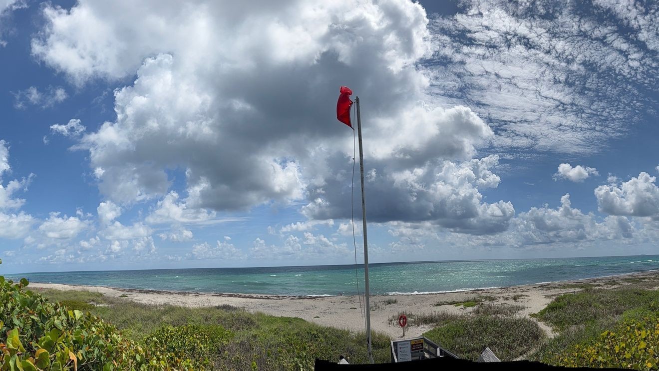
WEST PALM BEACH, Fla. (CBS12) — South Florida is in for another hot and stormy weekend, with dangerous heat, scattered thunderstorms, and lingering wildfire smoke remaining the primary concerns.
Temperatures will climb into the low to mid-90s each afternoon, while humidity pushes heat index values into the 105 to 110 degree range.
Scattered showers and thunderstorms are expected to develop each afternoon and evening as sea breezes move inland and collide across interior South Florida. Storms will be slow-moving, allowing some locations to receive prolonged downpours. While widespread flooding is not anticipated, isolated areas could pick up several inches of rain in a short period of time, especially where multiple storms track over the same location.
Smoke from wildfire activity in central Miami-Dade County will continue to drift across portions of Southeast Florida. The smoke may periodically reduce air quality, creating unhealthy conditions for sensitive groups such as children, older adults, and those with respiratory conditions.
Thunderstorm coverage is expected to remain elevated through Sunday, with the greatest concentration of activity focused inland before spreading outward during the evening as storm outflows interact.
The combination of intense heat, high humidity, and daily thunderstorm chances will create a very summer-like pattern across South Florida through the remainder of the weekend.