
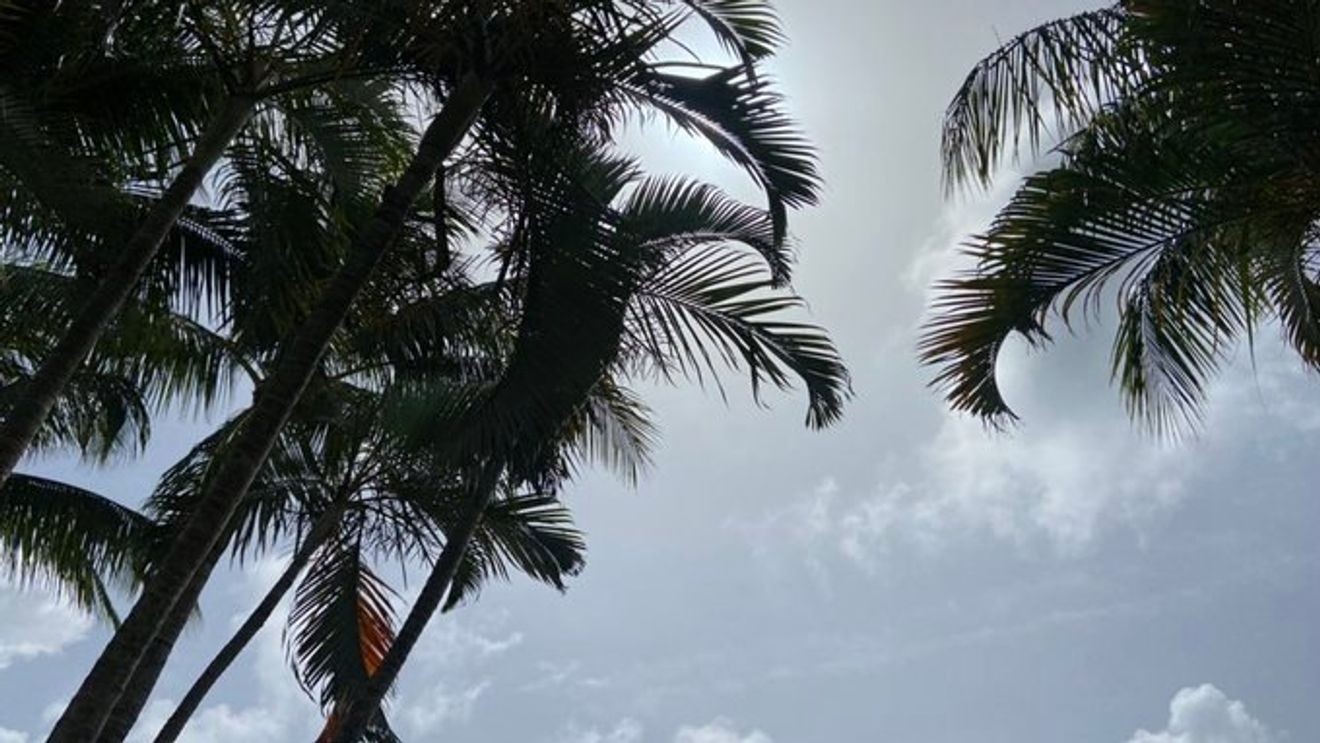
WEST PALM BEACH, Fla. (CBS12) — A plume of Saharan dust is arriving across Florida today, helping shape the forecast by making the atmosphere drier and less favorable for widespread thunderstorm development.
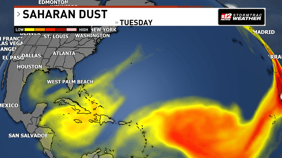
Saharan dust keeps rain chances limited across South Florida. (WPEC)
Known as the Saharan Air Layer, this massive mass of hot, dry, dust-filled air originates over the Sahara Desert in North Africa and regularly travels thousands of miles across the Atlantic during the summer months. When it reaches Florida, it often creates hazy skies, colorful sunrises and sunsets, and can reduce air quality for sensitive groups.
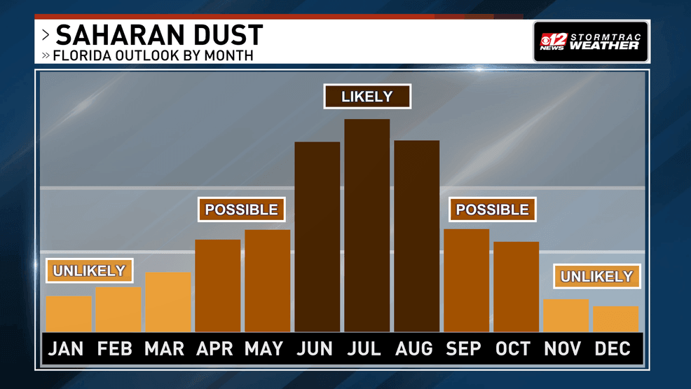
Saharan dust keeps rain chances limited across South Florida. (WPEC)
The dust also affects the weather. The dry air associated with the Saharan Air Layer makes it more difficult for thunderstorms to grow and organize. As a result, rain chances today are lower than they otherwise would be for late June, despite the continued heat and humidity.
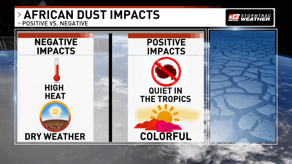
Saharan dust keeps rain chances limited across South Florida. (WPEC)
That doesn’t mean storms are completely off the table. Isolated showers and thunderstorms are still expected this afternoon, mainly across inland communities. A few stronger storms could produce gusty winds of 40 to 50 mph, frequent lightning, and locally heavy rainfall before weakening later this evening.
The Saharan dust may also contribute to warmer temperatures by limiting cloud development. Highs will climb into the low to mid-90s this afternoon, while heat index values are expected to reach between 103 and 107 degrees.
Read more about today’s forecast.
While the dust plume will suppress storm coverage somewhat, it is not strong enough to completely eliminate Florida’s typical summer thunderstorms, especially where sea breezes collide during the afternoon.