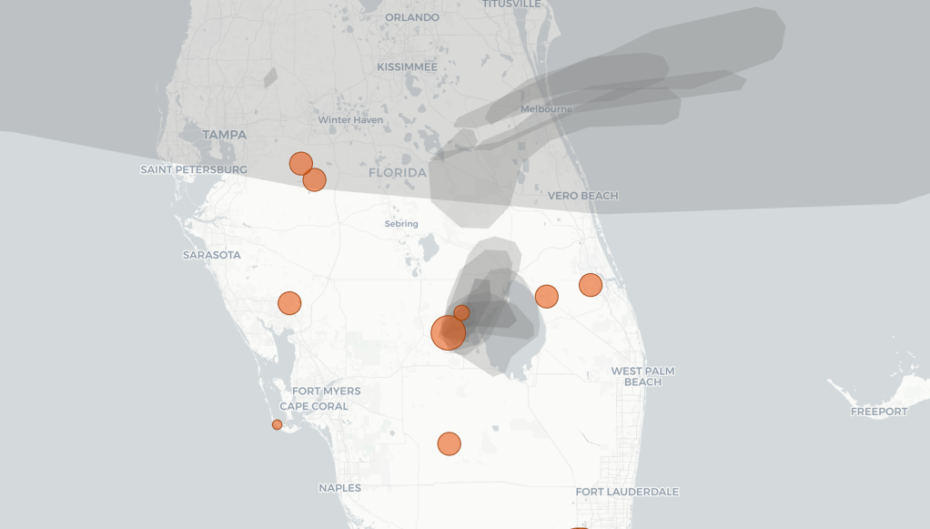
Fueled by a severe, months-long drought and intense early-summer heat, Florida’s 2026 wildfire season remains active deep into June. While the state’s peak fire risk typically drops off by now, parched vegetation continues to spark new blazes. The interactive map below tracks active wildfires across the state in real time, showing the exact location, size, and containment level of each fire. The tracker also includes live NOAA satellite data to show where wildfire smoke is drifting and how heavy the smoke coverage is over local areas.