
TALLAHASSEE, Fla. (WCTV) – Enjoy this evening, because changes are on the way. It will become more humid with higher chances for rain tomorrow and beyond.
A fairly refreshing start to the day with temperatures in the upper 60s and low 70s. Rain should hold off for the majority of us for the morning drive.
Scattered rain and storms are back after lunch. Hot tomorrow afternoon between the wet weather. The rain will not be all day or for everyone.
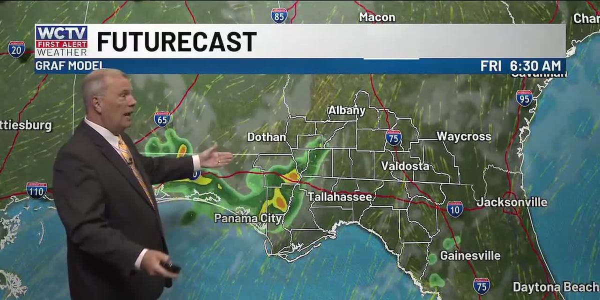
A better chance for rain on Friday returns to North Florida and South Georgia as moisture meets with another upper-level disturbance. This may keep temperatures in the upper 80s for some to end the week.
High pressure builds in for the weekend, suppressing the rain a little bit for the weekend. I still think we could squeeze out a shower or two on Saturday or Sunday, but the heat is the main story. Highs will reach the upper 90s both afternoons.
Be sure you are staying hydrated and taking breaks if you work outdoors.
To stay updated on all the latest forecasts and weather, follow WCTV First Alert Weather on Facebook and X (Twitter).
Click here to see all the latest weather headlines and here to view the First Alert Radar. Receive push alerts and watch the latest forecast anytime on the free WCTV First Alert Weather app. Click here to download it now.
Interested in becoming a WCTV First Alert Weather Watcher? Click here to join the team!
Copyright 2026 WCTV. All rights reserved.