
WESH 2’s First Warning Weather Team said Central Florida residents can expect another active afternoon of showers and storms.The forecast is predicted to be similar to that of Wednesday, with high temperatures before storms get going, feeding on all the heat, Meteorologist Eric Burris said.Temperatures will break the mid-90s, with showers and storms following.We are currently monitoring a storm making its way from Sumter County, east toward The Villages.First Warning Weather Stay with WESH 2 online and on-air for the most accurate Central Florida weather forecast.RadarSevere Weather AlertsDownload the WESH 2 News app to get the most up-to-date weather alerts. The First Warning Weather team includes First Warning Chief Meteorologist Tony Mainolfi, Eric Burris, Marquise Meda, Cam Tran and Victoria Wisniewski.What is Impact Weather?Impact Weather suggests weather conditions could be disruptive or a nuisance for travel and day-to-day activities.What is a Severe Weather Warning Day?A Severe Weather Warning Day suggests weather conditions that could potentially harm life or property. ————————————————DOWNLOAD the free WESH 2 News app for your latest news and alerts on breaking news, weather, sports, entertainment and more on your phone or tablet. And check out the Very Local app to stream news, entertainment and original programming on your TV.
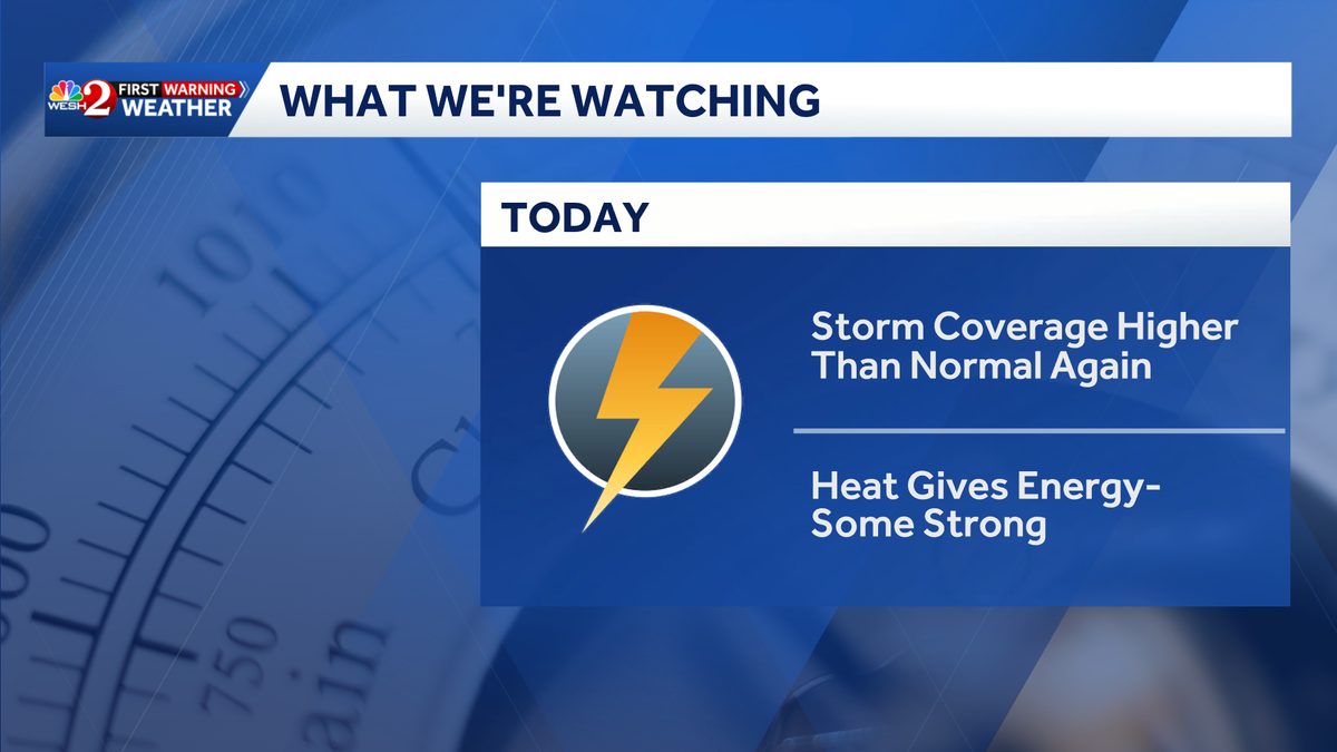
WESH 2’s First Warning Weather Team said Central Florida residents can expect another active afternoon of showers and storms.
This content is imported from Twitter.
You may be able to find the same content in another format, or you may be able to find more information, at their web site.
It should be another active afternoon of showers and storms across Central #florida. Both of our futurecast models show a good coverage of showers and storms with locally heavy rainfall in several areas as the sea breezes become active. Stay with #weshwx for updates. pic.twitter.com/S9IsvogjK9
— Tony Mainolfi (@TMainolfiWESH) June 25, 2026
The forecast is predicted to be similar to that of Wednesday, with high temperatures before storms get going, feeding on all the heat, Meteorologist Eric Burris said.
Temperatures will break the mid-90s, with showers and storms following.
We are currently monitoring a storm making its way from Sumter County, east toward The Villages.
This content is imported from Twitter.
You may be able to find the same content in another format, or you may be able to find more information, at their web site.
First Warning Weather
Stay with WESH 2 online and on-air for the most accurate Central Florida weather forecast.
Download the WESH 2 News app to get the most up-to-date weather alerts.
The First Warning Weather team includes First Warning Chief Meteorologist Tony Mainolfi, Eric Burris, Marquise Meda, Cam Tran and Victoria Wisniewski.
What is Impact Weather?
Impact Weather suggests weather conditions could be disruptive or a nuisance for travel and day-to-day activities.
What is a Severe Weather Warning Day?
A Severe Weather Warning Day suggests weather conditions that could potentially harm life or property.
————————————————
DOWNLOAD the free WESH 2 News app for your latest news and alerts on breaking news, weather, sports, entertainment and more on your phone or tablet. And check out the Very Local app to stream news, entertainment and original programming on your TV.