
TALLAHASSEE, Fla. (WCTV) – Hot and dry as folks are hitting the roads ahead of the holiday weekend. This evening is looking quiet and hot, with temperatures staying in the 90s through sunset.
Hot end to the week
Dry air will allow temperatures to settle into the low 70s overnight, maybe a few upper 60s again tomorrow morning. If you are planning on hitting the road tomorrow, no weather worries are expected. Hot tomorrow afternoon in the mid-90s, but not humid, like today.
Some afternoon showers for the holiday weekend
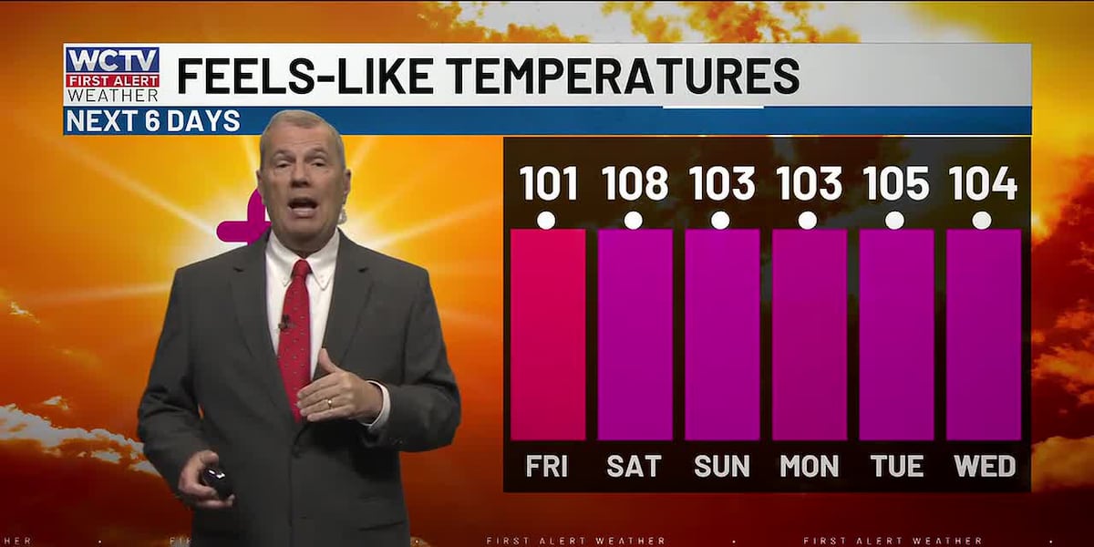
High pressure starts to break down on America’s 250th Birthday, Saturday, leading to a slightly better rain chance along the sea breeze on Saturday afternoon. That means if you have outdoor plans, have a plan to bring the party inside for a few minutes as the downpour rolls through. Highs in the mid-90s between the rain and storms. Wet weather should wrap up by the time fireworks start on the Fourth of July.
Still hot on Sunday, as the typical summer heat and storms take over. No washouts are expected.
To stay updated on all the latest forecasts and weather, follow WCTV First Alert Weather on Facebook and X (Twitter).
Click here to see all the latest weather headlines and here to view the First Alert Radar. Receive push alerts and watch the latest forecast anytime on the free WCTV First Alert Weather app. Click here to download it now.
Interested in becoming a WCTV First Alert Weather Watcher? Click here to join the team!
Copyright 2026 WCTV. All rights reserved.