
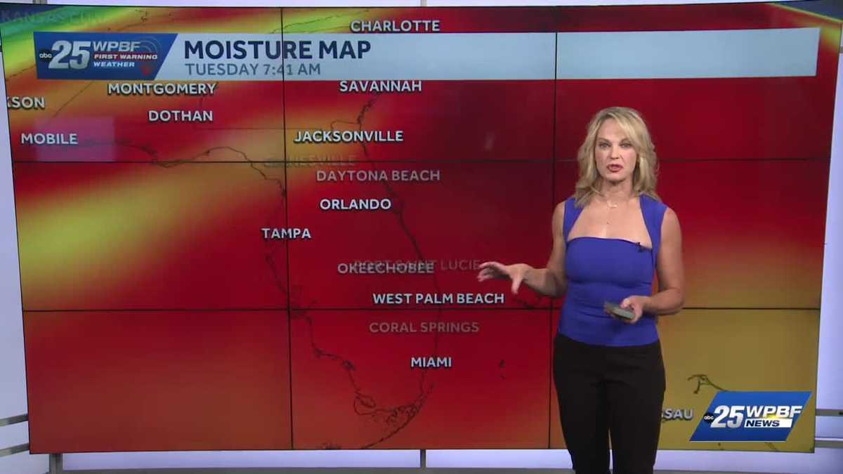
NATHALIE POZO. YASMINE HAS THE MORNING OFF, SO WE’RE HANDLING THE TRAFFIC HERE THIS MORNING. WE’LL TAKE A LOOK AT THAT IN JUST A MOMENT. LET’S START WITH SANDRA THOUGH, AND WHAT WE CAN EXPECT TODAY. YOU ARE TRACKING IMPACT WEATHER SANDRA. THAT’S RIGHT. AND THAT’S FOR EXTREME HEAT THIS WEEK. I MEAN SUPER HUMID ESPECIALLY THROUGH TUESDAY UNTIL SOME SAHARAN DUST GETS HERE. YOU CAN SEE MODERATE TO POCKETS OF MAJOR HEAT RISK. TODAY WE’RE GOING TO HIT THE MID 90S. YOU CAN SEE PLENTY OF MOISTURE TO WORK WITH. SO WITH THAT SAID WE WILL ACTUALLY FEEL LIKE 100 TO 105. FINALLY A DRY FIRST WARNING RADAR. BUT THAT CERTAINLY WAS NOT THE CASE LAST NIGHT. WE HAD FLOOD ADVISORIES AND WE GOT ALMOST FOUR INCHES OF RAINFALL HERE WEST OF JUPITER BETWEEN JUPITER JUNO BEACH INLAND RIGHT ALONG THE TURNPIKE. SO SIGNIFICANT RAIN TOTALS. IT WAS A TROPICAL DOWNPOUR TYPE WEEKEND FOR SURE. RIGHT NOW. 81 BOYNTON 79 IN WEST PALM. IT DIDN’T COOL DOWN MUCH. IT’S REALLY STICKY. YOU CAN KIND OF STIR IT WITH A STICK. SO CALLING FOR IMPACT THIS AFTERNOON WITH THOSE HOT HIGHS AT 92 TO 94. A GOOD CHANCE OF SHOWERS AND STORMS 2 P.M. OR SO ONWARD THROUGH PORT SAINT LUCIE AND THE TREASURE COAST. FOR THE PALM BEACHES. WE’LL TAKE A LOOK AT THE GARDENS HERE OVER THE MALL. AND IT LOOKS LIKE THE LOWER 90S AND THEN REALLY WIDESPREAD COVERAGE OF STORMS EXPECTED LATER ON IN THE AFTERNOON AND EVENING HOURS THAT CAN PRODUCE LOTS OF LIGHTNING AND HEAVY RAIN. BUT GUESS WHAT?
South Florida will experience high heat today, with pockets of a major heat risk around. It will feel like 100-105 in most spots this afternoon, at least for a short duration. Storms will fire up late this afternoon and evening, producing heavy rain and lots of lightning. Saharan dust continues to move toward the area and will arrive by Wednesday, reducing rain coverage a bit. Tracking the TropicsStay with WPBF 25 on-air and online for updates.Interactive radarSevere Weather Alerts Download the WPBF 25 News app for the most up-to-date weather alerts.
South Florida will experience high heat today, with pockets of a major heat risk around.
It will feel like 100-105 in most spots this afternoon, at least for a short duration. Storms will fire up late this afternoon and evening, producing heavy rain and lots of lightning.
Saharan dust continues to move toward the area and will arrive by Wednesday, reducing rain coverage a bit.
Tracking the Tropics
Stay with WPBF 25 on-air and online for updates.
Download the WPBF 25 News app for the most up-to-date weather alerts.