

West Palm Beach, Fla (CBS12) — The heat continues aross the area this afternoon, as storms start developing.
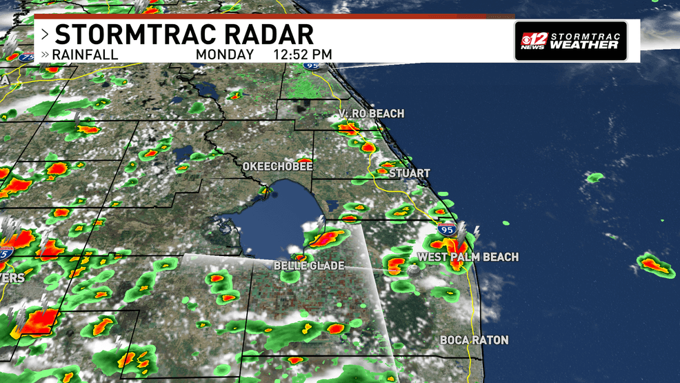
Thunderstorms are developing across south Florida and some could produce heavy downpours and gusty winds.
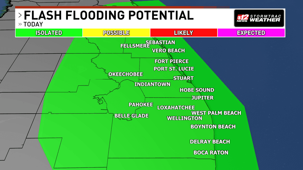
There is plenty of moisture in the atmosphere to create an isolated flooding threat today as well. Espeically since some storms can be slow to move.
The Weather Prediction Center has put us under a low risk of flooding for the afternoon.
Day 1 Excessive Rainfall.png
Right now, there is no major severe threat, but some stronger storms could produce winds near 50 mph, and pea-size hail may be possible in some stronger storms.
Along with the storms, the heat will continue today.
Temperatures will be in the low 90s as we go thorugh the rest of our Monday afternoon.
With the humidity, we’ll deal with a heat index between 100 and 105. This is below heat advisory criteria for our area, but it’s still important to stay hydrated.
The heat will play a big role as we go thoruhg the remainder of the week.
Saharan Dust is likely to move overhead late this week, lowering the rain chance.
This, however, also allows temperatures to rise since there is less cloud coverage.
We are likely to deal with highs near 95 degrees by Thursday and Friday. This is above average for this time of year.
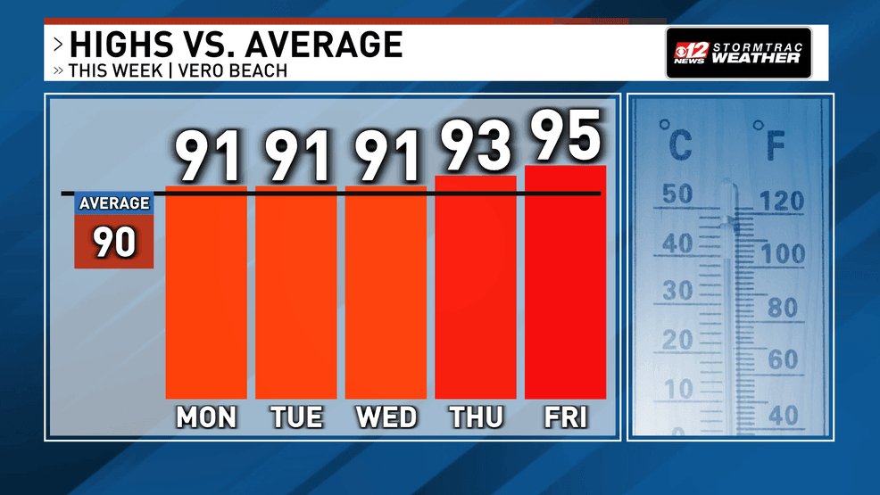
Temperatures will rise to the mid 90s by the end of the week. (WPEC)