
WEST PALM BEACH, Fla. (CBS12) — The biggest weather story across South Florida for the next several days won’t be thunderstorms—it will be the heat.
A drier air mass is moving into the region, lowering rain chances through the middle of the week. While a few isolated showers and thunderstorms are still possible each afternoon, especially inland, overall storm coverage will be much lower than in recent days. Any storms that do develop could still produce gusty winds and frequent lightning.
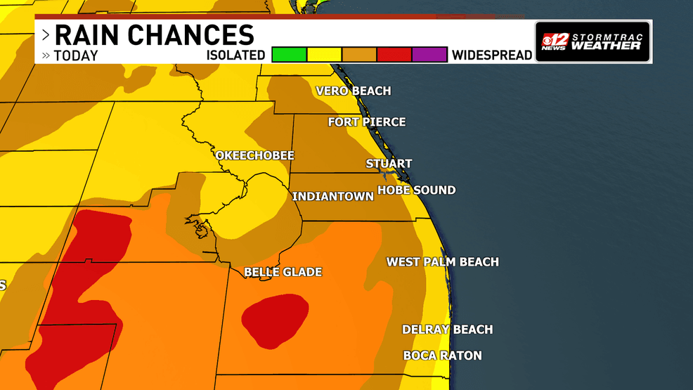
Scorching temperatures dominate as rain chances dip across South Florida. (WPEC)
With fewer storms to provide cooling rainfall, temperatures and humidity will combine to create dangerous conditions. Heat index values—the “feels-like” temperature—are expected to reach 105 to 110 degrees each afternoon across much of South Florida. These conditions can increase the risk of heat-related illness, particularly for people working or exercising outdoors.
A heat advisory is in effect across the area today from 11-6 p.m.
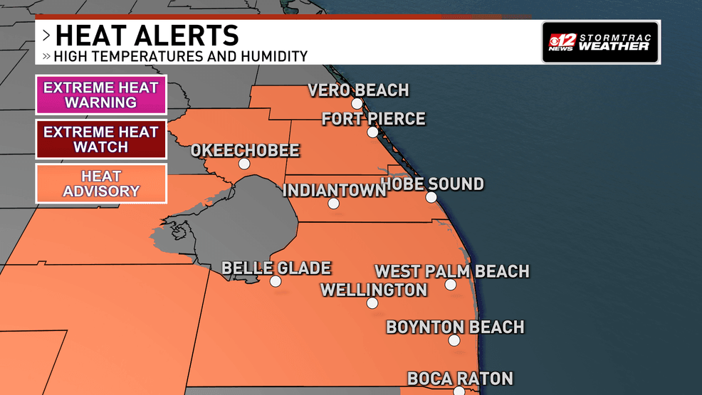
Scorching temperatures dominate as rain chances dip across South Florida. (WPEC)
The hottest conditions are expected across the east coast metro areas, where morning humidity followed by afternoon heating will keep heat index values elevated.
Wear lightweight, light-colored clothing, drink plenty of water, limit strenuous outdoor activities during the hottest part of the afternoon, and take frequent breaks in air-conditioned spaces or the shade.
Rain chances begin increasing again later this week as deeper moisture returns to the region. More widespread afternoon showers and thunderstorms are expected Friday and Saturday before another pocket of drier air may briefly reduce storm coverage late in the weekend.