
Upper 90s in Orlando on Thursday; near-record temps across Central Florida | July 9 forecast
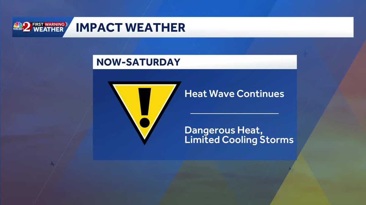
YEAH. AND NOW THAT 81 FEELS LIKE 86. YEAH. SO EXCITED. RIGHT. THEN ONCE THE SUN COMES UP AND STARTS REALLY CRANKING THOSE TEMPERATURES, WE GET INTO THAT IMPACT WEATHER. THE HEAT WAVE CONTINUES. MY FRIENDS. AND BECAUSE OF THE FACT THAT WE HAVE LIMITED COOLING STORMS, WE’RE JUST GOING TO SIT IN THIS ACTUAL TEMPERATURES SIT AT 97 TODAY IN ORLANDO. WE’RE GOING TO BE JUST SHY OF A RECORD FOR THE DAY, BUT IT’S GOING TO BE CLOSE ENOUGH. 98 IN DELAND, 95, DAYTONA BEACH, 94 IN MELBOURNE. HECK, IT’S GOING TO GET TO 98 IN PALM COAST, BUT THAT’S ONLY ONE PIECE OF THE STORY, RIGHT? BECAUSE YOU ADD IN THE HUMIDITY AND YOU GET YOUR FEELS LIKE TEMPERATURES BY LUNCHTIME ALREADY FEELS LIKE 104 2 P.M., 107 4 P.M. FEELS LIKE 108 IN ORLANDO. NOW THAT’S ORLANDO. LET’S TELL THE REST OF THE STORY HERE. LET’S RUN THROUGH OUR FEELS LIKE TEMPERATURES. HERE’S 4 P.M. 111 IN PALM COAST. 108 DAYTONA BEACH. AND BECAUSE OF THIS KIND OF PREDOMINANT SOUTHWEST WIND, IT’S NOT LIKE THE BEACHES GET MUCH RELIEF. YOU HAVE TO HOPE THAT THAT SEA BREEZE IS ABLE TO GET TO, LIKE THE HALIFAX OR THE INTRACOASTAL WATERWAY, BECAUSE OTHERWISE YOU’RE JUST SITTING IN THE HEAT LIKE THE REST OF US. ONE OF THE MAIN REASONS FOR THIS OVERALL PATTERN, WE’VE GOT HIGH PRESSURE IN CONTROL, BUT WE’VE ALSO SLID IN THAT SAHARAN DUST, WHICH IS GOING TO HOLD FIRM THROUGH THE DAY AND BASICALLY STICK AROUND OVER THE NEXT COUPLE OF DAYS. NOW, IN TERMS OF RAIN COVERAGE, IT’S RELATIVELY LOW. WE SEE THE GREENS. YOU DON’T SEE THE YELLOWS OR REDS IN TERMS OF COVERAGE. SO WATCH ON FUTURECAST BY 2:00. WE’LL POPCORN UP A COUPLE OF PASSING SHOWERS THREE, FOUR 5:00. IT’S A LITTLE BIT OF RAIN TRYING TO GET GOING, BUT THAT’S GOING TO BE IT. A FAIRLY LIMITED OPPORTUNITY TODAY. SO HEAD TO THE BEACH, RIGHT? WHY NOT? IT’S GOING TO BE A HOT ONE. I WROTE NICE SEA BREEZE AND IT WAS ALMOST AN OPTIMISTIC TYPING. WE’LL SEE IF IT PLAYS OUT. EITHER WAY, IT’S GOING TO BE TOASTY WARM EVEN ON THE BEACH. SAND SURF BREAKING 1 TO 2 WATER TEMPERATURE IN THE LOWER 80S THERE IS A MODERATE RISK OF RIP CURRENTS. ALL RIGHT OUTSIDE. SPEAKING OF THE BEACH, LET’S TAKE YOU TO DAYTONA BEACH. DARK AND EARLY. IT’S 76 THERE, 79 IN ORLANDO. AND I’M HAPPY TO SAY THERE IS NO RAIN ON OUR FIRST WARNING LIVE RADAR. SO FOR TODAY, FOR TOMORROW, IT’S 97 IN ORLANDO. SATURDAY, SUNDAY, MONDAY, TEMPERATURE STARTS TO SLIDE DOWN JUST A LITTLE BIT AS WE START TO BRING UP THAT RAIN COVERAGE A BIT FOR COASTAL. SEVEN DAY FORECAST. MOSTLY DRY TODAY TOMORROW, BUT 95 EVEN IN THE COASTAL COMMUNITIES IT’S THAT HOT. AND THEN OVER THE WEEKEND WE’LL STAR
Upper 90s in Orlando on Thursday; near-record temps across Central Florida | July 9 forecast

Updated: 5:58 AM EDT Jul 9, 2026
Hot and dry across Central Florida on Thursday. Temps will climb to 97 degrees or so, and heat advisories have been posted for all of Central Florida. Feels-like temps will reach 108 – 110 degrees.The heat advisory is in effect until 8 p.m. First Warning Weather Stay with WESH 2 online and on-air for the most accurate Central Florida weather forecast.RadarSevere Weather AlertsDownload the WESH 2 News app to get the most up-to-date weather alerts. The First Warning Weather team includes First Warning Chief Meteorologist Tony Mainolfi, Eric Burris, Marquise Meda, Cam Tran and Victoria Wisniewski.What is Impact Weather?Impact Weather suggests weather conditions could be disruptive or a nuisance for travel and day-to-day activities.
ORLANDO, Fla. —
Hot and dry across Central Florida on Thursday.
Temps will climb to 97 degrees or so, and heat advisories have been posted for all of Central Florida.
Feels-like temps will reach 108 – 110 degrees.
The heat advisory is in effect until 8 p.m.
This content is imported from Twitter.
You may be able to find the same content in another format, or you may be able to find more information, at their web site.
Heat advisory in effect through 8 PM for most of Central Florida and the Treasure Coast. Heat index values could hit 110 degrees this afternoon, so it is going to feel brutal out there today. Just a fair warning as you plan your day. pic.twitter.com/shmlV5ySpS
— Eric Burris (@EricBurrisWX) July 9, 2026
This content is imported from Twitter.
You may be able to find the same content in another format, or you may be able to find more information, at their web site.
7/09 | A Heat Advisory has been issued for all of ECFL for heat index values up to 110°F today. Additionally, isol’d showers and lightning storms are forecast this aftn/eve from N Brevard, as well as N Osceola county northwards with the potential for a strong storm. #FLwx #FL pic.twitter.com/j9lVbWZIYs
— NWS Melbourne (@NWSMelbourne) July 9, 2026
First Warning Weather
Stay with WESH 2 online and on-air for the most accurate Central Florida weather forecast.
Download the WESH 2 News app to get the most up-to-date weather alerts.
The First Warning Weather team includes First Warning Chief Meteorologist Tony Mainolfi, Eric Burris, Marquise Meda, Cam Tran and Victoria Wisniewski.
What is Impact Weather?
Impact Weather suggests weather conditions could be disruptive or a nuisance for travel and day-to-day activities.