
WEST PALM BEACH, Fla. (CBS12) — After a brief break from widespread storms, South Florida is transitioning back to a more active weather pattern just in time for the weekend.
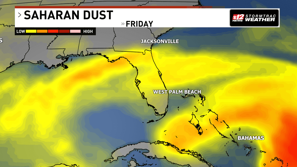
A disturbance in the upper levels of the atmosphere is moving in from the southeast, helping to push the recent Saharan dust and dry air out of the region. As moisture returns, scattered to numerous showers and thunderstorms are expected to develop this afternoon and continue into the early evening. The greatest coverage is expected across interior and Southwest Florida, where sea breezes will provide the focus for storm development.
Isolated storms return as dangerous heat continues across South Florida. (WPEC)
A few storms could become stronger than average, producing gusty winds, frequent lightning, and heavy downpours. While not everyone will see rain, any storms that develop could briefly become intense before weakening after sunset. A similar pattern is expected on Saturday, with afternoon and evening storms once again favoring the interior
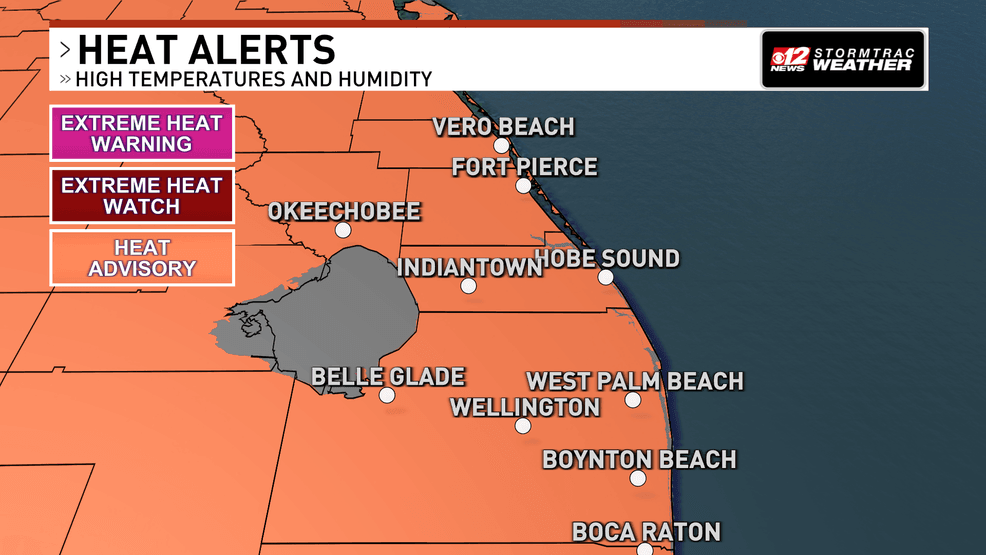
The heat will remain the biggest concern. High temperatures will climb into the low to mid-90s, and increasing humidity will push heat index values into the 105 to 110 degree range across much of South Florida. A Heat Advisory is in effect today for all of South Florida from 11 a.m. through 8 p.m., and additional advisories may be needed this weekend. Anyone spending extended time outdoors should stay hydrated, wear lightweight, light-colored clothing, take frequent breaks in the shade or air conditioning, and watch for signs of heat-related illness.
Isolated storms return as dangerous heat continues across South Florida. (WPEC)
While afternoon storms may provide brief relief in some communities, overnight temperatures will remain warm, especially along the coast where readings may struggle to fall below 80 degrees.