
Impact heat continues to impact South Florida
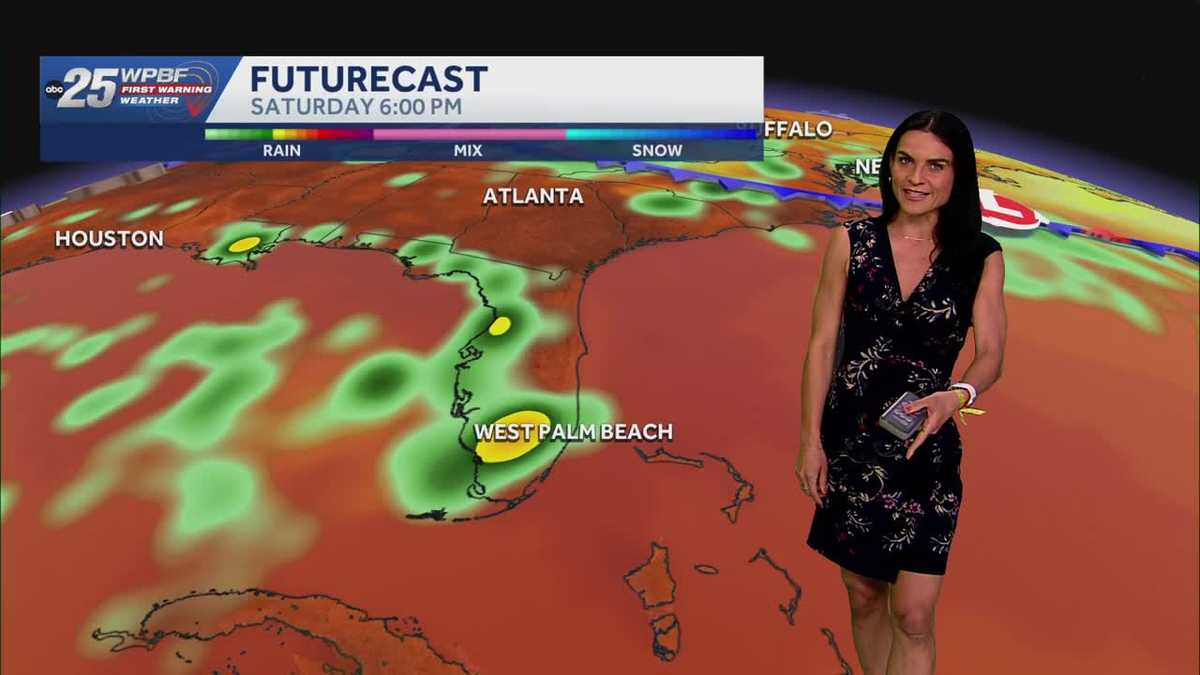
Happy birthday. Here’s *** look at *** radar right now. Quiet conditions there. Not *** lot happening over us here in South Florida. In fact, we do have some dry air working its way in, more Saharan dust, and with that, most of that rainfall is confined to central and northern Florida, although we did see *** good amount of rain and storm activity late last night across South Florida. Might have woken you up in the overnight hours. Right now, 88 degrees, so it feels like temperature in the triple digits there over in Boca Raton. We do have some low level clouds, *** little haziness out there. Port Saint Lucie, 88 degrees. Feels like 99 out the door still. Next 12 hours, take *** look. Temperatures will feel like the triple digits through at least 7 o’clock. That is when our heat advisory does expire for the area, but still very warm. We’ll have 10 o’clock temperatures in the mid 80s, feeling like the 90s, waking up just around sunrise. Temperatures will be in the low 80s, but it will still feel as. Hot as the 90s, especially when the sunshine kicks in. So just something to keep in mind is temperatures only getting hotter from there. Make sure you’re staying hydrated for going out for an early morning walk, run tomorrow morning. Just something to keep in mind. Winds mainly out of the southeast, just around 5 to 10 knots. Ses at around 1 ft or less, just very hot, hot sand, hot sun, all of the above. No real big relief from the heat, especially across our coastal areas. High. Tide happening just around 6:20 in the morning. Second high tide won’t happen just before 7 p.m. tomorrow night. Low tide just around lunchtime. So if you’re going uh paddle boarding, kayaking again, you definitely want to go before that low tide hits or well after as you get *** little closer to sundown. So best chance of rain again staying confined across maybe the Treasure Coast, but really over the next several days, no big significant rainfall is expected for the area. We actually enter ***. Dry period. We have another big plume of Saharan dust that’s going to work its way in, dries out the atmosphere. It also helps limit widespread rainfall, creates that haziness in the sky, and then on top of all of that though, again, we just keep those very hot temperatures in place, so no big relief from the heat, at least over the next several days. And another positive in the long run with the Saharan dust is it does keep things pretty quiet in the tropics, so nothing is expected to. In the tropical Atlantic basin, in the Caribbean, or in the Gulf over the next several days. So again, whenever we have that good amount of Saharan dust coming off of Africa, it does dry out the atmosphere by around 50%. Take *** look at your first morning weather 70 forecast. I mean mid 90s. Temperatures ranging about 4 to 5 degrees above average every single afternoon, coming very close to record heat, could even see some record ties maybe Monday, Tuesday, but for now we. Stay very toasty. So if you’re taking the dogs out maybe for that walk, earlier the better or closer to sundown, because again, when temperatures are even in the mid 80s, just within *** very short period of time, the sidewalk can feel as hot as 105 degrees. With air temperatures in the 90s, temperatures can feel as hot as 125 degrees on the surface of the sidewalk asphalt. Even sand can get very, very hot. Temperatures in the mid-90s, no big relief, but very limited rainfall over the next several days. All right, thank you Brooke.
WPBF 25 First Warning Meteorologist
Impact heat continues to impact South Florida this weekend into Sunday and the new work week. More heat advisories can be issued with feels-like temperatures in the 100s. Limited rain is expected as Saharan Dust moves in.
Impact heat continues to impact South Florida this weekend into Sunday and the new work week. More heat advisories can be issued with feels-like temperatures in the 100s. Limited rain is expected as Saharan Dust moves in.