
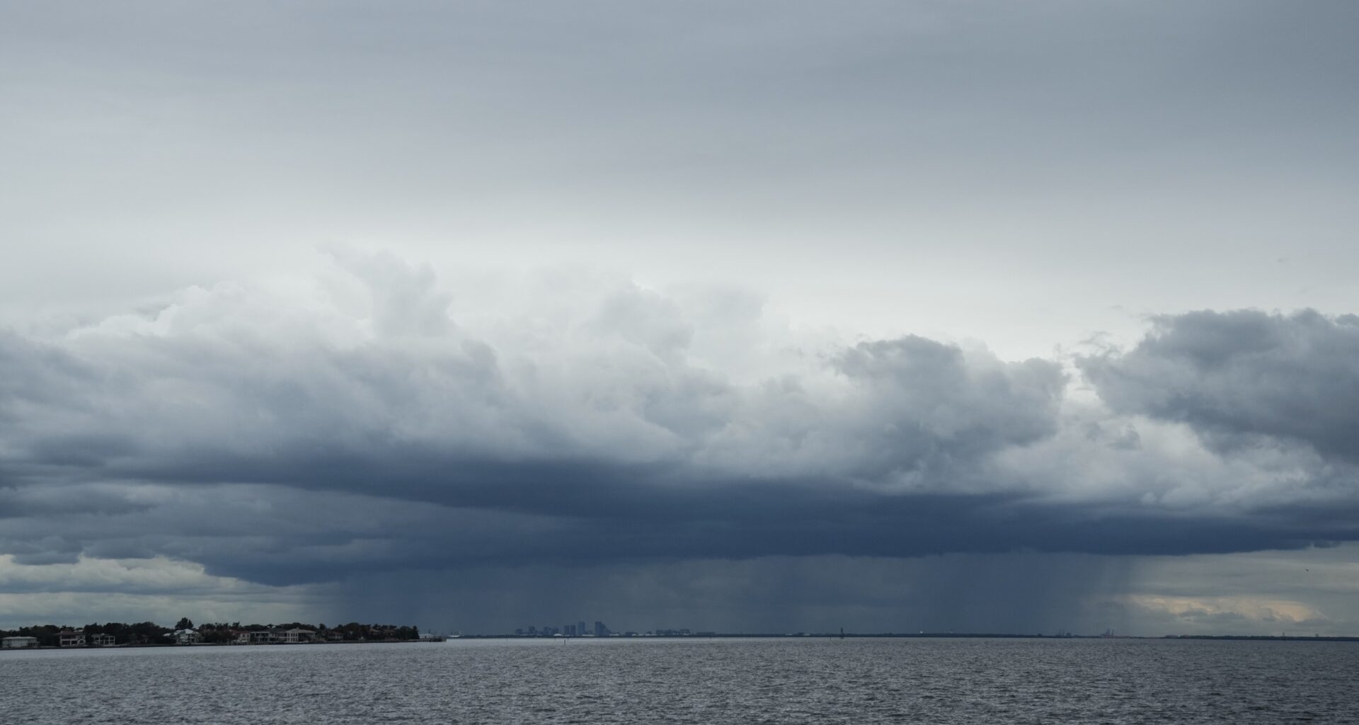
Severe thunderstorms ripped through North Central Florida on Saturday evening, cutting power to more than 17,000 customers across three counties, bringing trees down on homes, and leaving crews still working Sunday afternoon to restore service — even as a thickening plume of Saharan dust overhead is setting up the most dangerous heat of the summer for the coming week.
At its Saturday evening peak, the outage totals reached more than 13,000 customers in Alachua County and more than 3,500 in Marion County, with an additional 831 incidents reported in Putnam County, according to PowerOutage.com. By Sunday afternoon, Alachua County service had largely recovered, but Marion County’s Ocala Electric Utility still showed roughly 1,677 customers without power — a figure that matters more than it normally would given heat index values expected to reach 108°F before nightfall.
Storms Hit Ocala Before Warning Could Be Fully Heeded
Ocala Fire Rescue issued a public alert at approximately 3:45 p.m. Saturday, warning residents that approaching thunderstorms could produce penny-sized hail and wind gusts up to 60 mph. The storms arrived within hours and matched the warning closely.
Photos shared by fire rescue crews showed fallen branches and debris scattered across residential streets and at least two homes where trees had come down directly onto rooftops. One of the harder-hit addresses was near NE 14th Street, where Michelle Flanagan — who has lived at the property for 16 years — found a neighbor’s tree had fallen onto her garage, leaving visible daylight through the structure and pulling insulation and wiring loose. Flanagan noted it was not the first time a falling tree had damaged her home. Crews asked residents to stay clear of the most affected areas as road-clearing and power restoration work continued through the evening.
Ocala Electric Utility confirmed the situation at approximately 5 p.m. Saturday, describing the storm damage as producing “significant power outages” and activating what it called an “all hands on deck” response to accelerate restoration. By 10:30 p.m., most customers had been reconnected, though more than a thousand remained without service through midnight.
What the Saharan Dust Is Actually Doing — and Why It Worsens Both Problems
The atmospheric layer responsible for what Florida residents are experiencing this week is formally called the Saharan Air Layer, or SAL — a mass of extremely hot, dry, and dust-laden air that the African Easterly Jet carries westward off the Saharan Desert at altitudes between roughly 6,500 and 14,500 feet, at speeds of 25 to 55 mph. New outbreaks leave the African coast approximately every three to five days during the June-to-August peak season, according to NOAA’s Atlantic Oceanographic and Meteorological Laboratory, which has tracked the SAL by satellite since the early 2000s. The current plume arriving over Florida this week contains about 50% less moisture than a typical tropical atmosphere — a physical fact with consequences for almost every component of the region’s weather.
The mechanism that makes the SAL so effective at raising surface temperatures is a temperature inversion: as the hot, dry SAL layer moves over the cooler, denser marine air below, it creates an atmospheric “cap” that suppresses convection — the upward movement of warm, humid air that normally seeds Florida’s characteristic afternoon thunderstorms. Without those storms, the surface keeps absorbing solar radiation with no convective relief. The result is that the very atmospheric phenomenon producing the week’s vivid amber sunrises and orange sunsets is also the direct cause of the surface heat buildup that has been pushing Central Florida toward and past official advisory thresholds.
The SAL is also doing something that partially works in Florida’s favor: suppressing Atlantic hurricane formation. The same dry, stable air mass and the wind shear generated by the African Easterly Jet create conditions hostile to the tropical disturbances that could otherwise organize into named storms. News4JAX Meteorologist Chris Holtzman, a Certified Broadcast Meteorologist with the American Meteorological Society, noted on July 8 that aside from Tropical Storm Arthur, the 2026 Atlantic hurricane season has seen no additional formation — and the SAL is a primary reason. That quiet pattern is further reinforced by a strengthening El Niño, which Colorado State University cited when it twice lowered its 2026 hurricane forecast.
There is, however, a direct tradeoff: the same conditions that are limiting hurricane development are amplifying every near-term heat risk on the surface.
Heat Index Approaching the NWS “Danger” Boundary
The National Weather Service defines its Heat Advisory threshold at a heat index of 108°F sustained for at least two hours. That threshold was met across East Central Florida last week, when the heat index reached between 108 and 110°F on multiple days, according to WUFT meteorologist Irene Sans, an Emmy Award-winning, AMS-certified meteorologist with more than 15 years of experience covering Florida weather. Some FOX 35 forecast data indicated even higher apparent temperatures in isolated areas.
Understanding what “108°F heat index” means in physiological terms requires a brief look at the underlying measurement. The NWS heat index is calculated using a polynomial regression equation developed by Lans P. Rothfusz in 1990, based on earlier biometeorological research by Robert Steadman. It estimates apparent temperature by combining air temperature and relative humidity, but it assumes a wind speed of only 5 knots and shaded conditions. Exposure to full sunshine can add up to 15 additional degrees Fahrenheit to the calculated value — meaning a reported heat index of 108°F can translate to an apparent temperature near 123°F for someone working in direct sunlight, just below the NWS “Extreme Danger” threshold of 125°F.
At the “Danger” level, which the NWS defines as heat index values between 103 and 124°F, heat cramps and heat exhaustion are classified as likely with prolonged exposure or physical activity, and heatstroke is described as possible. The distinction matters for residents who are without air conditioning because Saturday’s storms took down power lines — the combination of a heat index in the “Danger” band and the absence of cooling during recovery hours is precisely the scenario that researchers at Yale Climate Connections and the Florida BRACE program identify as the most dangerous for vulnerable residents, particularly older adults and those with respiratory or cardiovascular conditions.
Saharan Dust Also Carries a Respiratory Risk
The vivid sky colors Floridians have been posting online this week are produced by mineral dust particles traveling thousands of miles across the Atlantic, and those same particles — classified as PM10 and PM2.5 (coarse and fine particulate matter) — are capable of penetrating deep into the respiratory system. The American Lung Association has documented spikes in PM10 and PM2.5 across Florida during Saharan dust events, and a peer-reviewed prospective study of 296 COPD patients in Miami between 2013 and 2016 found a statistically significant association between Saharan dust events and acute exacerbation of their condition.
People with asthma, COPD, heart disease, or other respiratory conditions face elevated risk during intense dust episodes. Children, older adults, and anyone with a pre-existing cardiac condition are also considered vulnerable. During high-concentration dust days, the American Lung Association recommends keeping windows and doors closed, using high-filtration air purifiers, and monitoring local air quality indices — advice that aligns with the storm safety guidance already in effect for residents without power in Marion County.
Sunday Storm Window: When to Go Outside and When to Stay In
Today’s weather follows a similar pattern to Saturday’s, with some differences in geography and storm timing. Temperatures are forecast to reach the mid-90s, with heat index values between 100 and 108°F, according to ClickOrlando’s Weather Aware Day forecast — technically below the formal heat advisory threshold but still in the NWS “Extreme Caution” to “Danger” range for anyone active outdoors.
Storms are expected to develop near the I-75 corridor around midday and push east toward I-4 during the mid-afternoon, before tracking toward the Atlantic coast and dissipating near sunset. The primary hazards are damaging wind gusts, frequent cloud-to-ground lightning, and heavy rain — matching the pattern from Saturday that produced the widespread outages across North Central Florida. The standard recommendation from local meteorologists applies: head indoors as soon as thunder is audible, and do not resume outdoor activity until at least 30 minutes after the last lightning strike.
What the Rest of the Week Looks Like
Beginning Monday, the second and thicker wave of Saharan dust is expected to push in over Central Florida, according to WFTV Channel 9’s evening forecast. That denser layer will further suppress afternoon storm chances — which are forecast to drop by roughly 10 percentage points per day through the middle of the week, bottoming near 20% probability by Wednesday, compared with typical July storm probabilities of 50 to 60%.
The tradeoff is intensified surface heat. WFTV’s forecast suggests heat index values exceeding 105°F on Thursday and Friday, with highs in the upper 90s. The SAL is expected to linger into the back half of the week, meaning the visual rewards — the amber haze and vivid sunsets — and the heat hazard are likely to persist together through at least July 16 or 17.
Residents across Central Florida are advised to stay hydrated, schedule outdoor activity before 10 a.m. or after sunset, and keep an eye on county-level alerts from utilities and emergency services. Those who remain without power in Marion County can monitor Ocala Electric Utility’s outage map for restoration estimates.
Frequently Asked QuestionsWhy does Saharan dust make Florida hotter rather than cooler?
Saharan dust has competing effects on temperature. Over the open ocean, iron-rich dust particles reflect solar radiation, which tends to cool sea surface temperatures. Over land, however, the SAL’s most important effect is that it suppresses the development of the afternoon thunderstorms that normally provide Florida’s primary summertime temperature relief. Without convective cloud cover and rainfall, surface temperatures rise unchecked throughout the day. At the same time, the dust layer reduces the amount of infrared radiation escaping from the surface at night, creating a mild warming effect. The net result for Florida residents on the ground is higher daytime temperatures, fewer cooling storms, and a more sustained heat buildup through the week.
How does this week’s Saharan dust affect the Atlantic hurricane season?
The Saharan Air Layer suppresses Atlantic hurricane formation through three overlapping mechanisms: its extremely dry air (containing about 50% less moisture than the typical tropical atmosphere) disrupts the moisture tropical disturbances need to organize; the African Easterly Jet that carries the SAL generates mid-level wind shear that can tear apart developing storm structures; and the temperature inversion at the SAL’s base creates atmospheric stability that caps convective development over the Atlantic. News4JAX Meteorologist Chris Holtzman confirmed on July 8 that the current SAL is a primary reason the 2026 Atlantic hurricane season has remained quiet — with only Tropical Storm Arthur having formed — which is within normal range for mid-July. A strengthening El Niño is compounding that suppressive effect, leading Colorado State University to twice lower its 2026 hurricane forecast.
Is the air safe to breathe in Florida right now?
During active Saharan dust episodes, people with asthma, COPD, heart disease, and other respiratory or cardiovascular conditions face elevated risk, as the dust introduces PM10 and PM2.5 particulate matter that can penetrate deep into the lungs. The American Lung Association recommends that sensitive populations keep windows closed, use high-efficiency air purifiers indoors, and monitor the EPA AirNow Florida air quality tracker. Even people without pre-existing conditions can experience eye, nose, and throat irritation during high-concentration dust events. The risk is highest during midday hours when dust concentration and heat peak simultaneously.
How long will power be out in Marion County after Saturday’s storms?
As of Sunday afternoon, approximately 1,677 Marion County customers remain without power, concentrated with Ocala Electric Utility, according to PowerOutage.us live tracking data. Ocala Electric Utility activated what it described as an “all hands on deck” response Saturday evening, and the bulk of Alachua County’s 13,000-customer outage has been restored. Standard post-storm restoration timelines for damage involving downed power lines and tree-on-line clearing run from hours to a full day for most customers, though specific estimates depend on the number of damaged line segments in a given area. Residents can check the Ocala Electric Utility live outage map directly for current restoration estimates for their address.