

Some areas could see flash flooding, especially in the greater Tampa Bay area, Bergren added. “Wouldn’t be a shock to me if somewhere got 6-7″+ of rain during this spell in the Tampa area.”
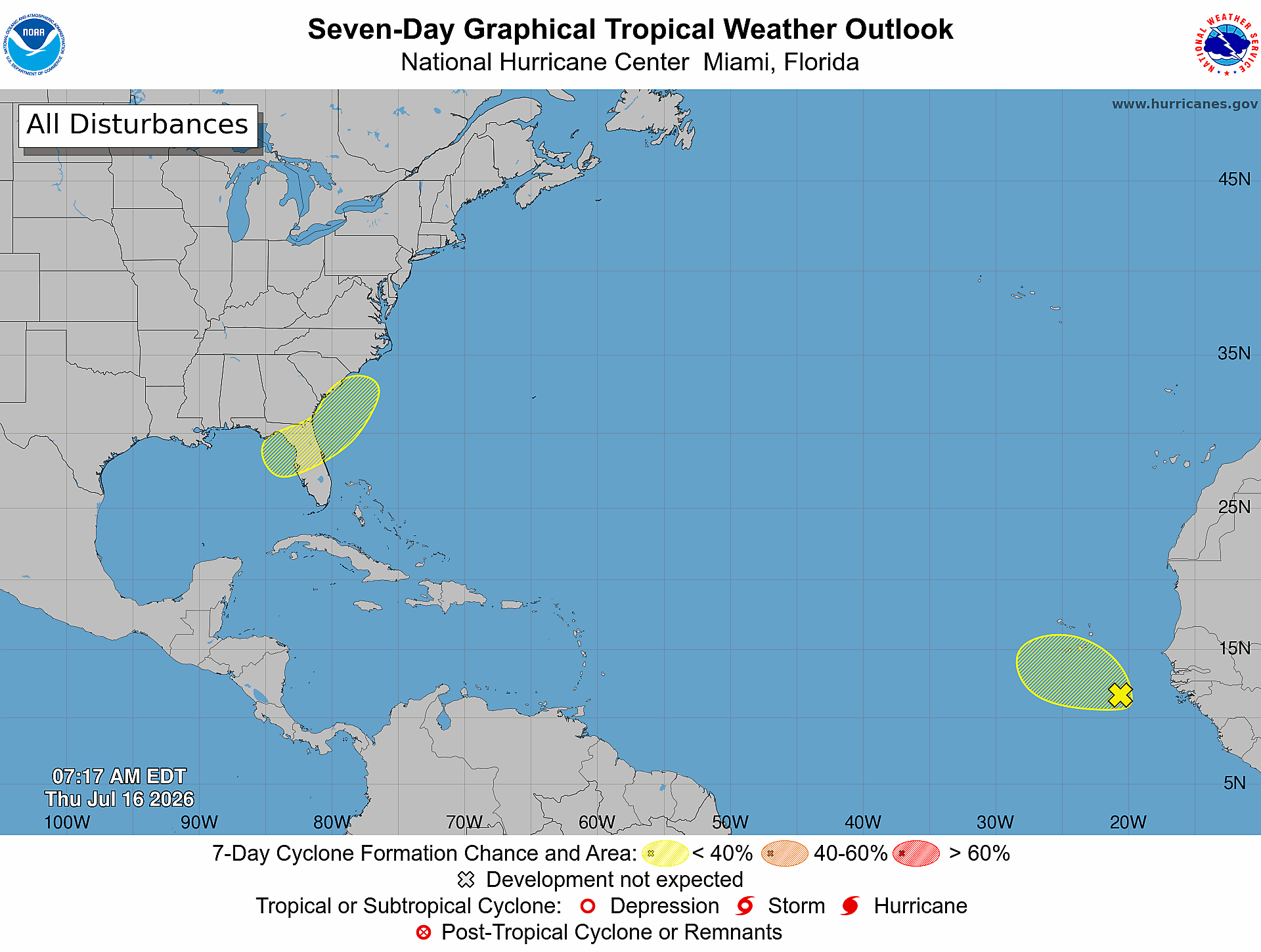 (National Hurricane Center)
Bergren also expected some damaging winds or brief tornados along the Interstate 4 corridor.
“There will be more wind energy in the atmosphere to support an actual tornado risk, more than the ‘run of the mill’ rainy season afternoon. Thanks to that low pressure system spinning in the Gulf,” he wrote. “Lots of storms and downpours across the Orlando area as well. But also notice, none of these days are ‘washouts’ and raining the entire day. Just a high coverage of action daily.”
Because the system is directly offshore, it has little time to strengthen over water.
“The biggest hindrance to development will be its expected short period of time over water which won’t give it much time to consolidate,” Fox 13’s pal Dellegatto wrote in a social media post. “That being said, we pay special attention to any areas of low pressure that are expected to develop near us this time of year. NHC pegs the area at a 20 [percent] chance for development. More than likely, the net result will be an increase in rainfall over the northern half of Florida this weekend and early next week.”