
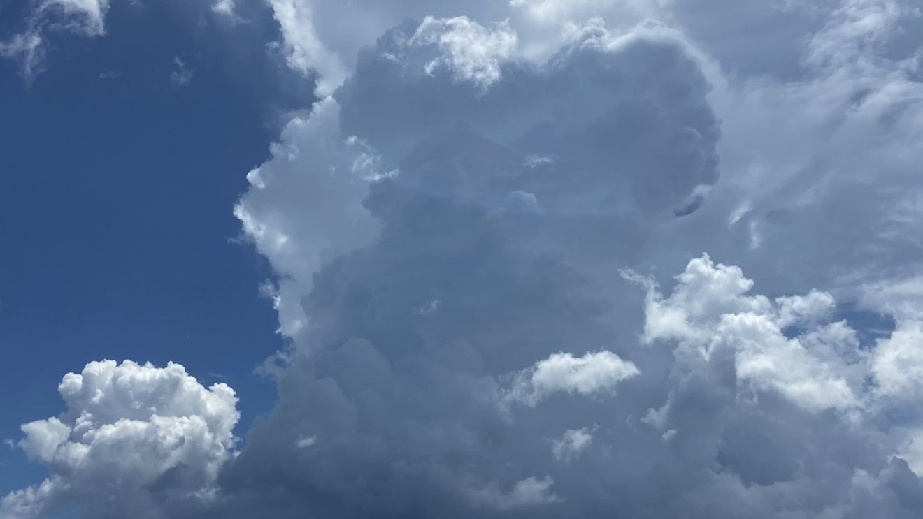
WEST PALM BEACH, Fla. (CBS12) — South Florida will contend with another day of dangerous heat before scattered thunderstorms develop later this afternoon and evening, with the greatest coverage expected across interior areas and the east coast metro.
A more active weather pattern is developing as a disturbance over the Gulf helps increase moisture across the region. While the deepest tropical moisture is expected to remain north of South Florida, there will still be enough instability for scattered thunderstorms to develop during the afternoon. A west wind will keep the Atlantic sea breeze close to the coast, increasing storm chances for Palm Beach county.
Heat and strong thunderstorms expected across South Florida this afternoon. (WPEC)
Any storm that develops could become strong. The primary hazards will be wind gusts up to 45 to 60 mph, frequent cloud-to-ground lightning, torrential downpours, and small hail. Heavy rainfall may briefly overwhelm drainage systems in some locations, although widespread flooding is not expected.
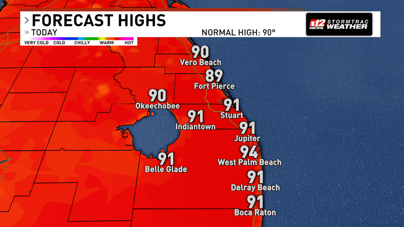
The other major concern is the heat. Afternoon temperatures will climb into the low to mid-90s, and humidity will push heat index values into the 105 to 108 degree range through the evening. Anyone spending extended periods outdoors should stay hydrated, wear lightweight clothing, and take frequent breaks in the shade or air conditioning.
Heat and strong thunderstorms expected across South Florida this afternoon. (WPEC)
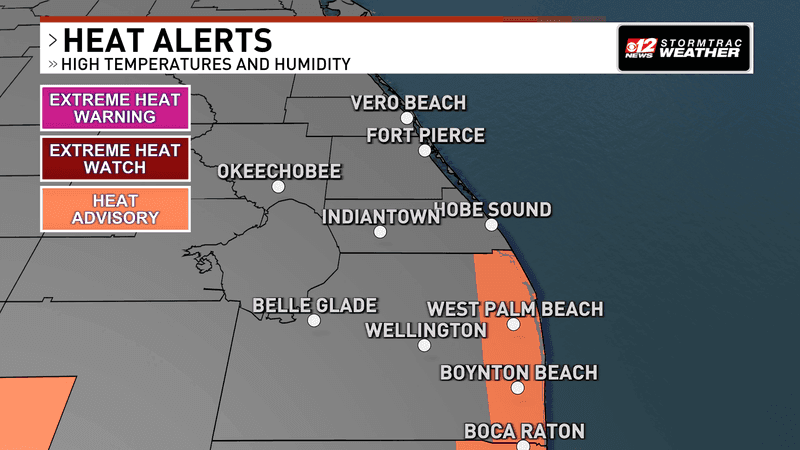
A heat advisory is in effect from 11 a.m. through 7 p.m. for metro and coastal Palm Beach County.
Heat and strong thunderstorms expected across South Florida this afternoon. (WPEC)
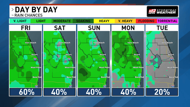
The weather pattern remains active through the weekend as an upper-level disturbance approaches the eastern Gulf. While the exact placement of the system will determine where the heaviest rain develops, South Florida will continue seeing daily afternoon thunderstorms, especially where sea breeze boundaries collide. Frequent lightning, gusty winds, heavy rainfall, and isolated hail will remain the primary hazards.