
Impact Weather: Heavy rain moving across Central Florida on Friday
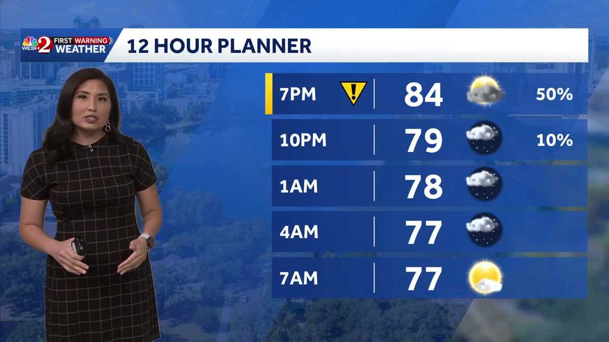
We begin at 4 with some impact weather to start the weekend. I’m Jesse Peggot and I’m Lindsay Salon. *** lot of rain moving through Central Florida this afternoon as well as lightning. In fact, taking *** live look at Ocala right now where you actually see *** little bit of sunshine out there. It doesn’t look like they’ve been hit yet, but strong storms are moving through *** lot of our areas. They’re covered with *** lot of rain. I even saw some branches on the road driving in. Oh yeah, let’s get right to first warning meteorologist Cam. And keeping tabs on it all, Cam, this is going to last probably through the weekend. That’s right. We are looking at *** very stormy setup over the next several days, but this afternoon though, numerous showers and thunderstorms across central Florida. Look at this 5300 lightning strikes with all these thunderstorms across our area, and we have several strong thunderstorms across Central Florida right now, including this one right over in Voolucchia County. It’s right over Deland, Deon Springs, and clips the northern portion. Of Lake County, including out towards Paisley earlier that we were paying *** pretty impressive hail core. Hail core is still there north of Paisley, but not as intense as what we saw earlier. So that’s *** good sign that thunderstorm is starting to wind down just *** bit. We’re also tracking this very gusty thunderstorm right along the Breevard and Orange County line near Bitlow, Wedgefield, as well as Port Saint John this afternoon. This was producing quite *** bit of hail, and we also have *** brand new. Thunderstorm right now in southern Brevard County. This is just west of Melbourne. This also was producing some hail, light rain showers and storms across Seminole County this afternoon. It’s hard to actually find where there’s even dry slots in Seminole County. We’re seeing that rain from Sanford down to Geneva as well as Oviedo and in Chuiota and out towards the west in Marion County, very gusty thunderstorms just north of Ocala where we were seeing that live tower cam earlier. Citra Anthony all under the strong thunderstorm that’s producing very heavy rain. We’re seeing rain rates of about 3 inches plus an hour, so we could see some low lying flooding. We’re going to continue to see these strong to gusty thunderstorms around through at least 8 o’clock tonight and then overnight tonight we’ll see *** bit of *** clearing and some drier conditions. And then we’re looking at wet weather for this upcoming weekend as well. I’ll let you know which of the two weekend days will be the drier of the two coming up.
Impact Weather: Heavy rain moving across Central Florida on Friday

Updated: 7:41 PM EDT Jul 17, 2026
Central Florida is facing the risk of severe storms on Friday afternoon. The Storm Prediction Center has placed a large portion of Central Florida under a Level 1 out of 5 risk for severe storms today. That means severe weather is expected to remain limited and isolated, but a few storms could still become strong enough to produce hazardous conditions.That is why the First Warning Weather Team has issued an Impact Weather alert from 2 p.m. to 8 p.m. Storm development during this time could bring lightning and damaging winds.Active alertsNo active alerts at this time.Expired alertsA severe thunderstorm warning for Marion County expires at 4:45 p.m.A severe thunderstorm warning for Seminole County expired at 3:30 p.m.A severe thunderstorm warning for Orange County expired at 3:30 p.m.A severe thunderstorm warning for Marion County expired at 2:30 p.m.The stormy pattern is expected to continue through the weekend as a low-pressure area forms off Florida’s Gulf Coast.The system is slow-moving, which means it could generate bands of heavy rain in Central Florida. First Warning Weather Stay with WESH 2 online and on-air for the most accurate Central Florida weather forecast.RadarSevere Weather AlertsDownload the WESH 2 News app to get the most up-to-date weather alerts. The First Warning Weather team includes First Warning Chief Meteorologist Tony Mainolfi, Eric Burris, Cam Tran and Victoria Wisniewski.
ORLANDO, Fla. —
Central Florida is facing the risk of severe storms on Friday afternoon.
The Storm Prediction Center has placed a large portion of Central Florida under a Level 1 out of 5 risk for severe storms today.
That means severe weather is expected to remain limited and isolated, but a few storms could still become strong enough to produce hazardous conditions.
That is why the First Warning Weather Team has issued an Impact Weather alert from 2 p.m. to 8 p.m.
Storm development during this time could bring lightning and damaging winds.
Active alerts
No active alerts at this time.
Expired alerts
A severe thunderstorm warning for Marion County expires at 4:45 p.m.A severe thunderstorm warning for Seminole County expired at 3:30 p.m.A severe thunderstorm warning for Orange County expired at 3:30 p.m.A severe thunderstorm warning for Marion County expired at 2:30 p.m.
The stormy pattern is expected to continue through the weekend as a low-pressure area forms off Florida’s Gulf Coast.
The system is slow-moving, which means it could generate bands of heavy rain in Central Florida.
First Warning Weather
Stay with WESH 2 online and on-air for the most accurate Central Florida weather forecast.
Download the WESH 2 News app to get the most up-to-date weather alerts.
The First Warning Weather team includes First Warning Chief Meteorologist Tony Mainolfi, Eric Burris, Cam Tran and Victoria Wisniewski.