
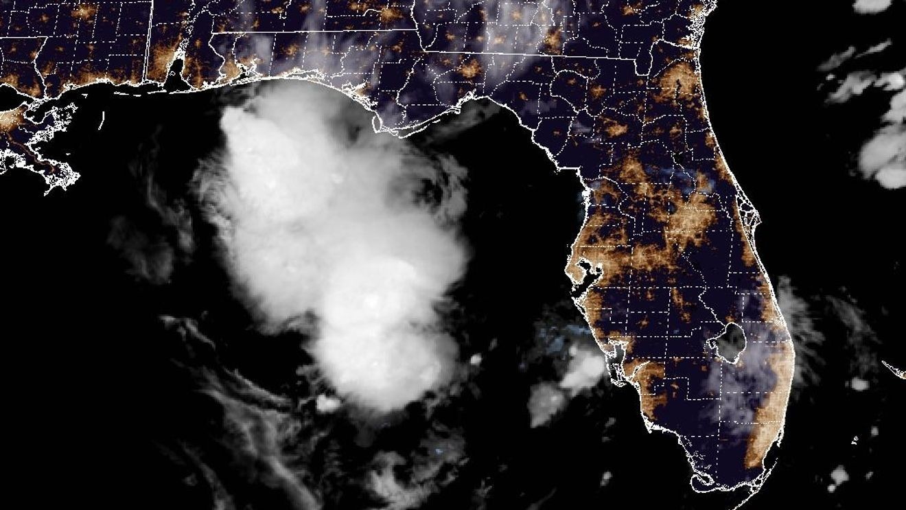
WEST PALM BEACH, Fla. (CBS12) — The National Hurricane Center is monitoring a disturbance over the eastern Gulf of America that could slowly develop during the next several days as it brings periods of heavy rain to Florida’s Gulf Coast and Panhandle.
Forecasters say the system is currently producing widespread showers and thunderstorms over the eastern Gulf, but there are no signs that it has developed a well-defined circulation.
The unsettled weather is being fueled by an upper-level low, an area of lower pressure several miles above the Earth’s surface that helps promote rising air and thunderstorm development, along with a surface trough, an elongated area of lower pressure near the ground where showers and storms often form.
Development possible, but not expected anytime soon
Surface observations indicate atmospheric pressure remains relatively high across the area, suggesting the disturbance is still disorganized.
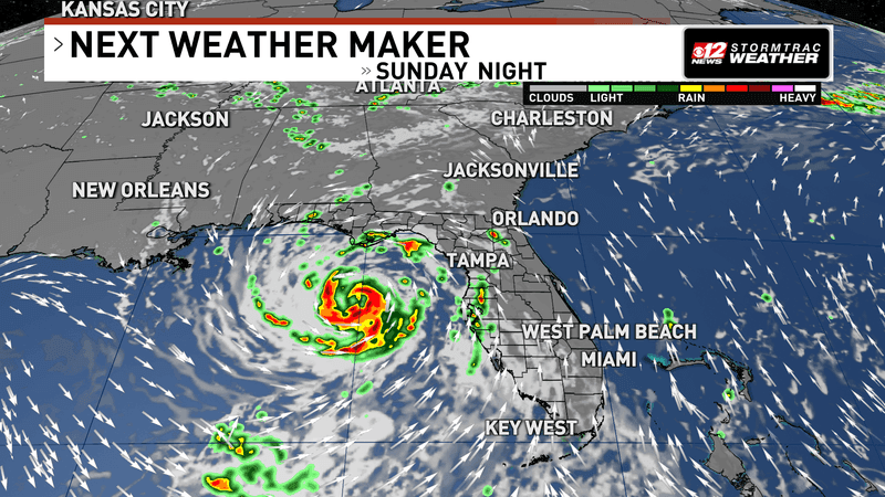
National Hurricane Center monitoring Gulf disturbance as heavy rain targets Florida. (WPEC)
A tropical cyclone requires a well-defined surface circulation, or a closed center of rotating winds near the ocean’s surface. At this time, forecasters say that feature has not developed.
While some gradual organization is possible as the system drifts slowly northward, the National Hurricane Center gives it only a 10% chance of tropical development during the next 48 hours and a 30% chance during the next seven days.
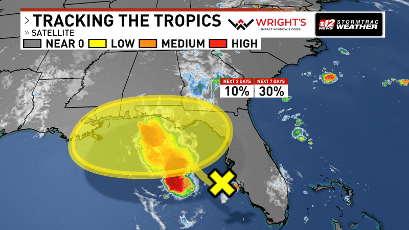
National Hurricane Center monitoring Gulf disturbance as heavy rain targets Florida. (WPEC)
Heavy rain is the primary concern
Whether the system develops or not, forecasters say the greatest impact will likely be heavy rainfall.
The disturbance is expected to bring multiple rounds of showers and thunderstorms to portions of Florida’s west coast and the Florida Panhandle over the next several days.
Repeated downpours could lead to localized flooding, especially in areas that receive several rounds of rain or where drainage is poor.
Flash flooding occurs when heavy rain causes water to rise rapidly, sometimes in just minutes, making roads dangerous and inundating low-lying areas.
No immediate tropical threat
Meteorologists stress that tropical development is not the primary concern at this time.
Many disturbances in the Gulf produce heavy rain and gusty thunderstorms without ever becoming named storms.
The National Hurricane Center will continue monitoring the system through the week, but for Floridians, the forecast should be viewed primarily as a heavy rain event rather than an impending tropical cyclone.
Residents along Florida’s Gulf Coast and across the Panhandle are encouraged to monitor the forecast for potential flood advisories as confidence in rainfall totals increases.