
Heavy rain expected along Florida’s west coast as NHC tracks possible tropical development
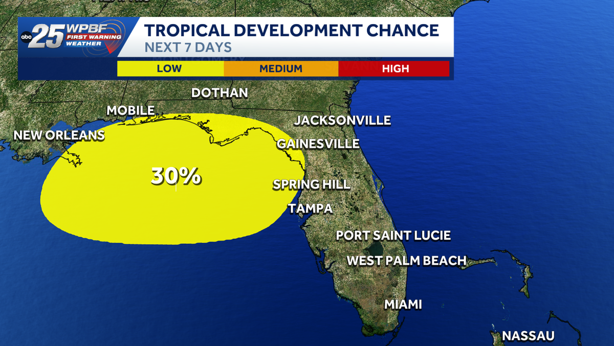
Coast of Africa no longer *** chance of seeing any development there, so all eyes now on the Gulf. So within this yellow polygon, we do have *** 30% chance of seeing development within the next 7 days, and you will notice just to the south of it we’re looking at some rain and storms, and I want to show you these contours that you can see, these wind contours are actually in the upper levels of the atmosphere, so this is. An upper level low and then at the surface it’s an open low basically and you need closed circulation for *** tropical system to develop as it is *** surface based storm so it does have *** very low end chance of seeing tropical development, but it is going to be drifting to the north very slowly over the next couple of days and once it gets into that yellow. Polygon, that’s where we do have that low end chance of seeing it become *** tropical system, seeing that low pressure at the surface become *** closed circulation, but really for this weekend and into early next week, it’s going to be bringing some wet weather to the Gulf Coast and into the panhandle, and we’ll also see *** couple of isolated showers, *** few storms drift into our direction over the next couple of days.
Heavy rain expected along Florida’s west coast as NHC tracks possible tropical development

Updated: 9:41 AM EDT Jul 18, 2026
The National Hurricane Center is monitoring two possible areas for tropical development over the next seven days. Tropical AtlanticNorthern Gulf of America and near Florida There is a spot to watch, stretching from the northeastern Gulf to just off the coast of northern Florida.”A large area of showers and thunderstorms over the eastern Gulf of America is associated with an upper-level low and a surface trough. Some gradual development of this system is possible while it meanders northward, bringing heavy rain to portions of the Florida west coast during the next several days,” the NHC said. It has a 20% chance of development over the next two days and a 30% chance of development over the next seven days. Tracking the tropicsStay with WPBF 25 on air and online for updates.Interactive radarSevere Weather Alerts Download the WPBF 25 News app for the most up-to-date weather alerts.
The National Hurricane Center is monitoring two possible areas for tropical development over the next seven days.
Hearst Owned
Tropical wave near Florida has a 30% chance of developing
Tropical Atlantic
Northern Gulf of America and near Florida
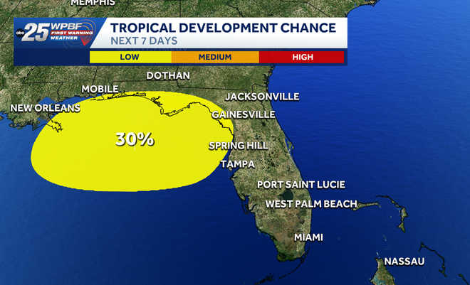
There is a spot to watch, stretching from the northeastern Gulf to just off the coast of northern Florida.
“A large area of showers and thunderstorms over the eastern Gulf of America is associated with an upper-level low and a surface trough. Some gradual development of this system is possible while it meanders northward, bringing heavy rain to portions of the Florida west coast during the next several days,” the NHC said.
It has a 20% chance of development over the next two days and a 30% chance of development over the next seven days.
Tracking the tropics
Stay with WPBF 25 on air and online for updates.
Download the WPBF 25 News app for the most up-to-date weather alerts.