
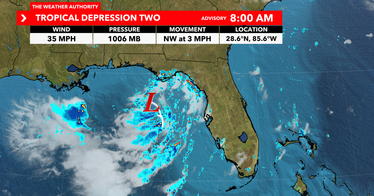
SOUTHWEST FLORIDA (WINK) — WINK News Weather Authority meteorologists are tracking Tropical Storm Bertha off Florida’s west coast.
Monday

Local weather continues to improve. We’ll still see persistent breezy conditions coming in from off the Gulf almost perpendicular to our beaches.
Rip current threats remain high through Tuesday night. We should see those rip current chances backing off as we move through Tuesday into Wednesday with TD 2/Future Bertha working its way further away from the FL peninsula.
Because of the winds coming across the southern half of the state, rains and storms should work inland pretty quickly. Overall we should see less rain generally as drier air gets pulled in along the backside of TD 2. Looking down the pike, we’ll continue drying out resulting in hotter afternoon high’s.
Tuesday
Plan for isolated storms (30% coverage) around our coastal communities for your Tuesday morning commute. Tuesday looks to stay a little drier with a few storms possible throughout the afternoon. Plan for a breezy afternoon with warmer temperatures. Highs top out in the lower to mid 90s.
Wednesday
Plan for a slightly drier start Wednesday with a stray shower possible. We’ll see another drier day with isolated storms (30% coverage) popping up throughout the afternoon. Temperatures will be a bit hotter with highs in the mid 90s. Temperatures will feel more like 102 – 107°.
WINK News Weather Authority meteorologists are tracking the latest in the tropics as Tropical Depression Two strengthens into Tropical Storm Bertha today. You can find the latest forecast in our tropical article online, on TV on WINK News and on the WINK Weather App.