
Impact Weather: Heat advisory in effect as dangerous temps, storms target Central Florida

 ORLANDO, Fla. —
Another hot and stormy summer day is expected on Monday for Central Florida.
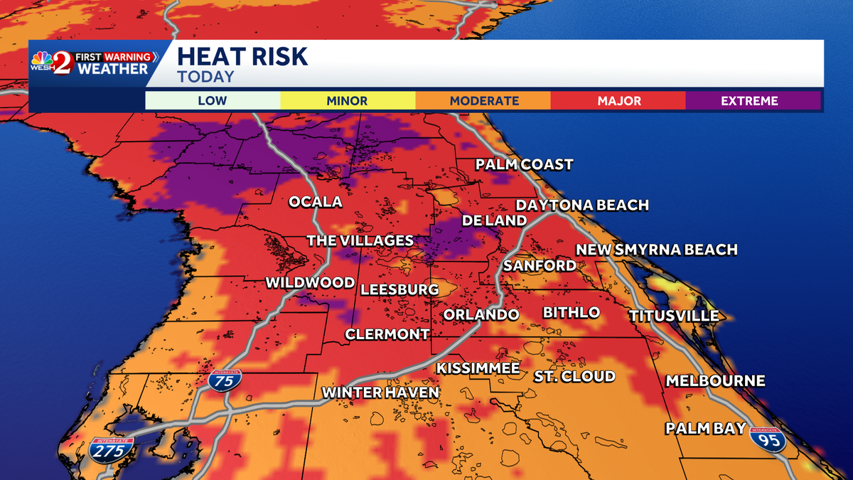
Heat advisories are in effect as dangerous heat and high humidity push “feels like” temperatures to around 110 degrees in some locations.
This content is imported from x. You may be able to find the same content in another format, or you may be able to find more information, at their web site.
Heat Advisory runs through 8 PM for Orange, Seminole, Lake, Volusia, and Brevard Counties. Heat index values up to 109 today. Just a heads up as you move through your afternoon. pic.twitter.com/4JitnhlDx5
— Eric Burris (@EricBurrisWX) July 27, 2026
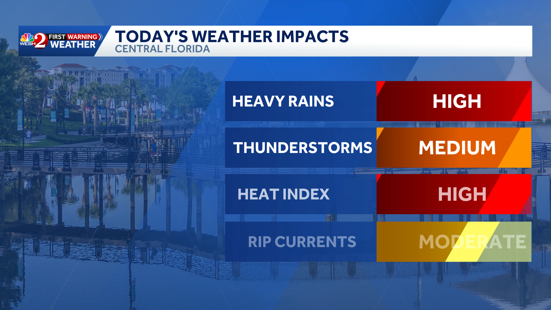
That’s why WESH 2’s First Warning Weather team has issued an impact weather alert until 8 p.m.
Rain is expected during the morning hours, with additional showers and thunderstorms developing through the afternoon.
As daytime heating increases, storms are expected to become more widespread across the area. A few storms could become strong.
>> What is Impact Weather?
Impact Weather suggests weather conditions could be disruptive or a nuisance for travel and day-to-day activities.
First Warning Weather
Stay with WESH 2 online and on-air for the most accurate Central Florida weather forecast.
Download the WESH 2 News app to get the most up-to-date weather alerts.
The First Warning Weather team includes First Warning Chief Meteorologist Tony Mainolfi, Eric Burris, Luke Vickery, Cam Tran and Victoria Wisniewski.