
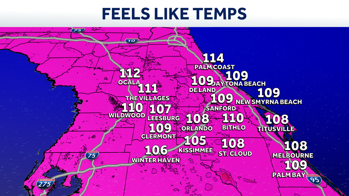
Impact Weather: Heat index climbing to 111 degrees in parts of Central Florida
 ORLANDO, Fla. —
After heavy overnight rain, the region is in for another steamy day.
Heat advisories have been issued on Tuesday as hot and humid conditions continue in Central Florida.
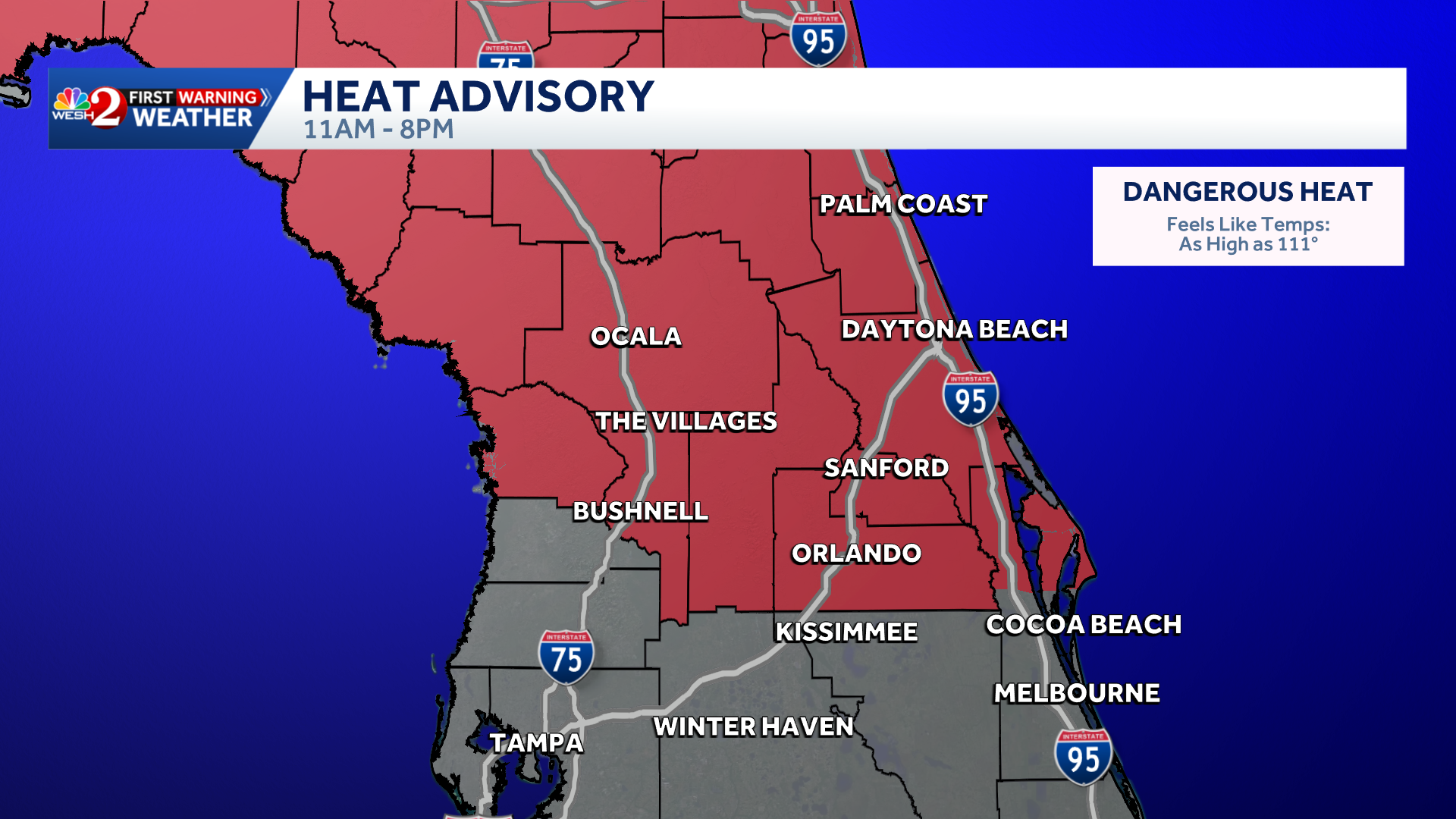
That’s why WESH 2’s First Warning Weather team has issued an Impact Weather alert from 11 a.m. to 8 p.m. Feels-like temperatures will range between 108 and 111 degrees.
Heavy overnight rain is gradually tapering off, leaving damp conditions to start the day. A few showers will linger across western areas, but much of the region is expected to remain relatively quiet through the morning.
By this afternoon, showers and thunderstorms are expected to develop, with about 50% coverage.
Rain and storm chances are forecast to increase later this week, which will help alleviate the heat.
>> What is Impact Weather?
Impact Weather suggests weather conditions could be disruptive or a nuisance for travel and day-to-day activities.
First Warning Weather
Stay with WESH 2 online and on-air for the most accurate Central Florida weather forecast.
Download the WESH 2 News app to get the most up-to-date weather alerts.
The First Warning Weather team includes First Warning Chief Meteorologist Tony Mainolfi, Eric Burris, Luke Vickery, Cam Tran and Victoria Wisniewski.