
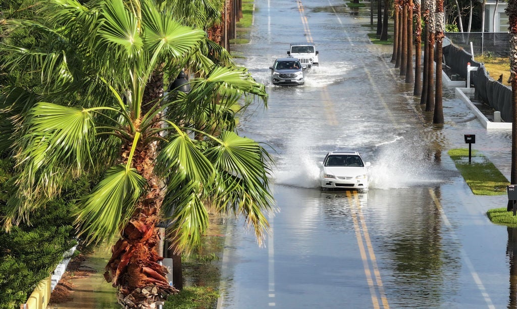
St. Petersburg City Council approved a three-year license pact on July 23. USF will install a flood-monitoring camera at Clam Bayou Preserve near Perry Bayview Community Playground. The vote passed without opposition and expands a research network with about 40 cameras across Pinellas County.
USF will pay the city a $10 fee. The university will maintain the equipment.
The new installation marks the ninth location St. Petersburg has approved. Councilmember Brandi Gabbard pulled the item from the consent agenda to shine attention on the partnership between the city and the university.
“There are a couple of areas in the city where we have a bit of a gap in the flood cameras,” Gabbard said, according to St. Pete Catalyst, explaining that the Clam Bayou site will help close one of those gaps.
Barnali Dixon, a professor in USF’s School of Geosciences, received National Science Foundation funding in 2023 to develop the monitoring approach. The team built solar-powered camera stations that photograph flood-prone locations every 15 minutes, capturing images throughout the day and night to track water movement in places where flooding strikes hardest.
“The National Science Foundation does not fund projects unless it’s truly unique and innovative,” Dixon said.
Researchers installed the first eight cameras shortly before Hurricane Helene arrived in September 2024. The stations photographed rising water throughout the storm. They created a visual record of one of the region’s most destructive weather events. Less than two weeks later, the equipment documented Hurricane Milton.
Each monitoring station includes a nearby pole marked with reflective stripes. As floodwaters rise, researchers can estimate water depth by looking at how many stripes remain visible in each photograph — a simple but effective measuring tool.
“You can see more damage,” Dixon said. “You cannot see as much damage as simple rain gauge data.”
The photographs show where flooding spreads. They reveal how fast it develops and what it leaves behind after the water recedes. During one August 2025 rain event, a camera documented water rising more than 5 feet in about an hour. This was a startling rate that traditional gauges might have missed. During Hurricane Helene, another tracked floodwaters climbing from roughly 2 feet to more than 3 feet before receding.
Researchers are using those observations to create flood inundation maps and improve computer models capable of estimating flood depth. The camera network is one part of USF’s Community Resiliency Information System, known as CRIS-Hazard.
The project also includes a public flood-reporting app that Dixon compares to “Waze for flooding.” Residents can upload photos of flooded streets and estimate water depth, creating a crowdsourced record that researchers compare with rainfall, tide information, and images from nearby cameras.
Dixon said the information could also help emergency responders better understand conditions on flooded roads and determine what equipment is needed to reach affected areas without putting crews at risk.