
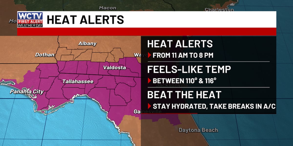
TALLAHASSEE, Fla. (WCTV) – A First Alert Weather Day is in effect for Wednesday because of dangerous heat and severe storm risk this afternoon.
First Alert Weather Day🌡️
Extreme Heat Warning: Temperatures will climb into the upper 90s this afternoon, but with very high humidity, the feels-like temperatures (heat index) will run between 105 and 116 degrees for most of the afternoon. The Extreme Heat Warning is for ALL of the Big Bend and Georgia border counties. A heat advisory for the rest of the area, which means feels-like temperatures up to 108.
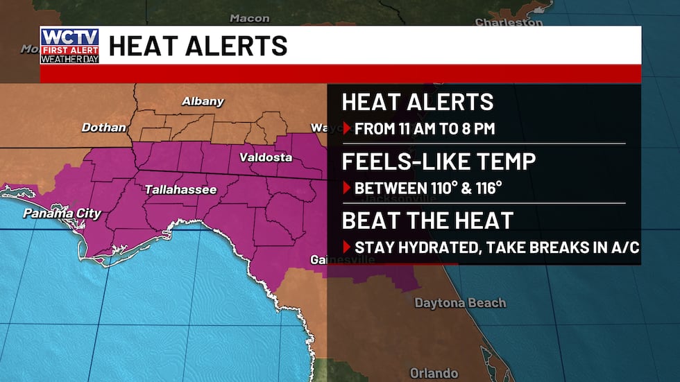 Extreme Heat Warning for ALL of the Big Bend and counties along Highway 84 for feels-like temperatures as high as 116.(WCTV)
Be sure that you are staying hydrated today and taking frequent breaks in the shade or A/C IF you have to be outside. This is dangerous heat for workers who are outside for a long period of time. Take care of your family and pets today.
Severe Risk: The Storm Prediction Center has a level 2, slight risk highlighted for North Florida and South Georgia.
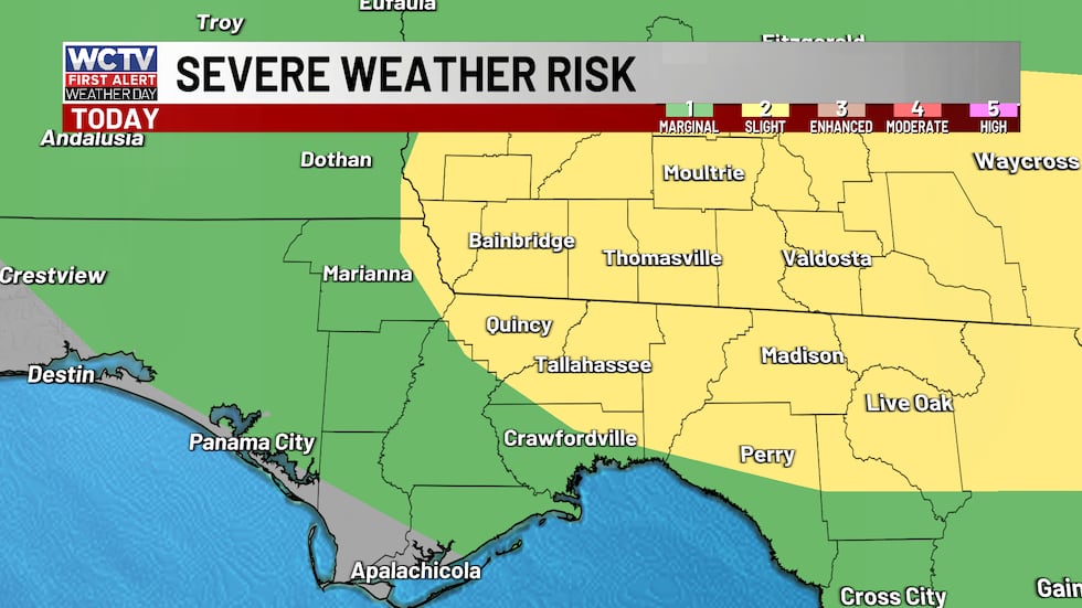 A chance for strong to severe storms on Wednesday. Gusty winds will be the main thing to watch.(WCTV)
This means storms that develop have a good chance of becoming strong to severe. NOT every storm that develops will be severe, but I think plenty of them will have gusty winds between 40 and 60 mph, frequent lightning and extreme downpours.
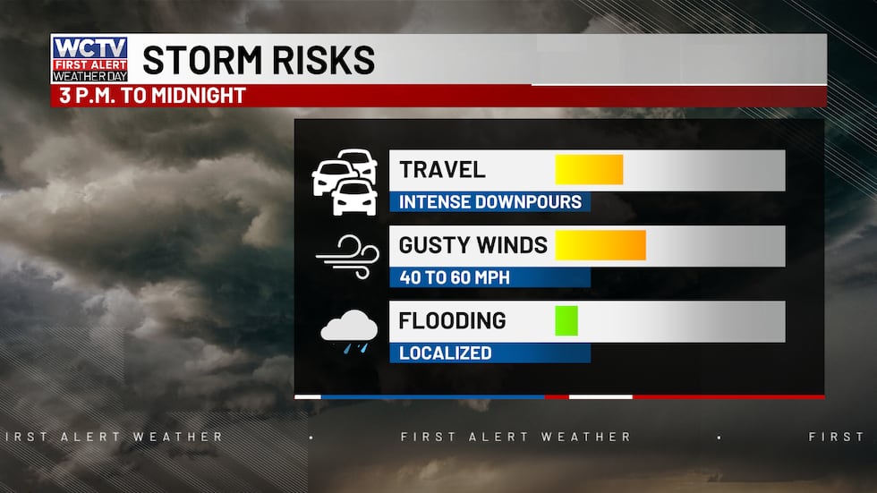 A chance for strong to severe storms this afternoon with gusty winds being the main concern.(WCTV)
This means down branches or trees and power outages are on the table today, which will lead to miserable sleeping conditions since the heat sticks around tonight. Stay weather aware this afternoon and evening.
The best chance for rain and thunderstorms will be after 3 p.m. The risk of storms peak during the late afternoon and early evening, before winding down around midnight.
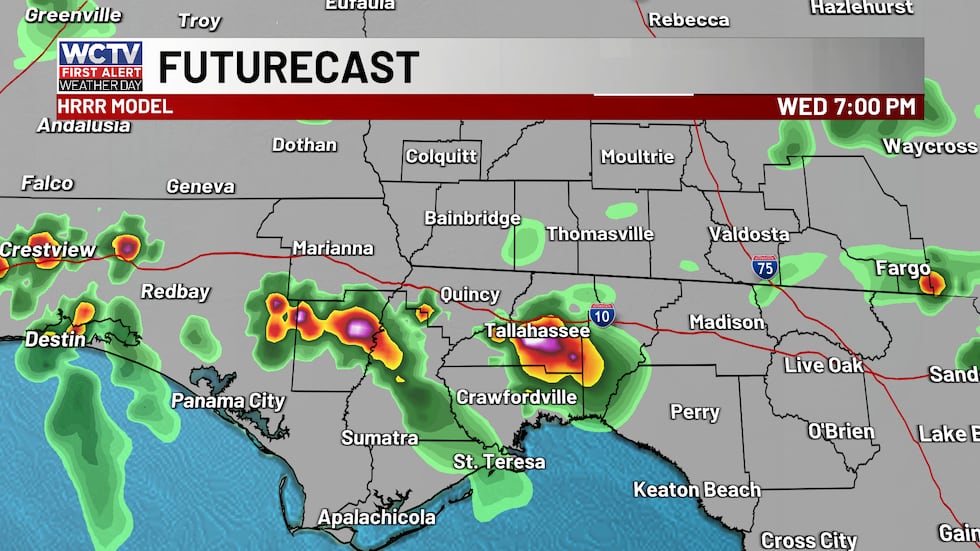 Strong to severe storms develop on Wednesday afternoon. Gusty winds will be the main thing to watch.(WCTV)
Beach and boating look okay this morning, but conditions deteriorate this afternoon. If you plan on fishing, this morning is your best bet.
If you plan on going to the beach, most of the day will be fine with partly sunny skies, but afternoon showers and storms are expected.
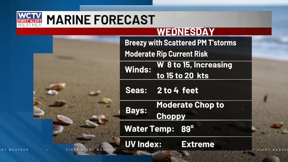 Not a great day to be on the water, especially in the afternoon.(WCTV)Wednesday breakdown
Out the door, it is going to be very warm and humid with temperatures in the 80s. I expect numbers to quickly reach the 90s by mid to late morning. Humidity is higher than the last few days, so it will feel about 10 to 15 degrees warmer than the actual temperature.
Heading out for lunch? Still no rain on radar, but the HEAT is on. Temperatures in the low 90s, with a heat index between 105 and 110. This dangerous heat will continue into the early afternoon hours before storms develop after 3 p.m.
Scattered strong storms between 3 and 11 p.m. which will help cool off many spots. NOT everyone will get rain today. However, many will. Plus, the clouds in the afternoon and evening should suppress the heat some.
More heat and storms Thursday
Scattered showers and storms are once again possible on Thursday. Highs in the mid 90s. Storms after 2 p.m. along the sea breeze. One or two storms may bring gusty winds.
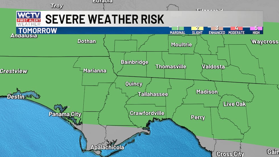 A chance for strong to severe storms on Thursday. Gusty winds will be the main thing to watch.(WCTV)
To stay updated on all the latest forecasts and weather, follow WCTV First Alert Weather on Facebook and X (Twitter).
Click here to see all the latest weather headlines and here to view the First Alert Radar. Receive push alerts and watch the latest forecast anytime on the free WCTV First Alert Weather app. Click here to download it now.
Interested in becoming a WCTV First Alert Weather Watcher? Click here to join the team!
Copyright 2026 WCTV. All rights reserved.