
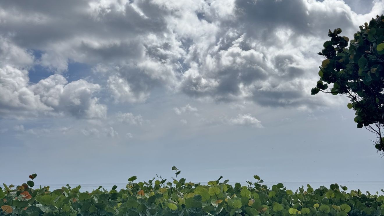
WEST PALM BEACH, Fla. (CBS12) — South Florida will remain locked in a typical August weather pattern today, with scattered to numerous afternoon thunderstorms, dangerous heat, and increasing beach hazards later this week.
Interactive Radar: Track storms across your area
Showers and thunderstorms are expected to develop this afternoon as sea breezes—winds moving inland from the Atlantic and Gulf coasts—collide over the interior. A strengthening easterly breeze will push the Atlantic sea breeze farther inland while keeping the Gulf sea breeze pinned closer to the west coast, making inland South Florida the most likely area for storm development.
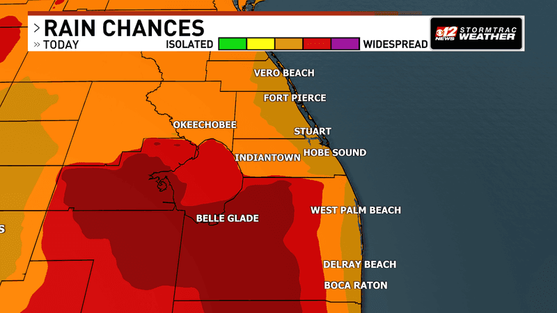
Daily thunderstorms continue as heat and humidity grip South Florida. (WPEC)
Any thunderstorm will be capable of producing frequent lightning, brief heavy downpours, and gusty winds. While storms will be scattered in nature, the atmosphere remains unusually moist for early August, allowing rainfall to become heavy at times before activity tapers off during the evening.
Heat and humidity will remain another major concern. Afternoon temperatures will climb into the upper 80s along the immediate east coast and the lower 90s elsewhere. Combined with high humidity, it will feel between 105 and 110 degrees across much of the region. Although these peak values are not expected to last long enough to require widespread heat advisories, the National Weather Service continues to highlight a moderate risk for heat-related illnesses, particularly for people without adequate cooling or hydration.
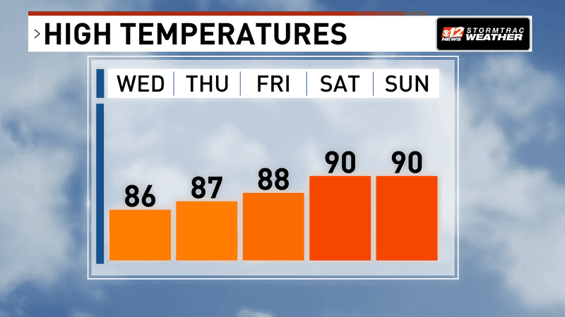
Daily thunderstorms continue as heat and humidity grip South Florida. (WPEC)
Beach conditions will also begin deteriorating later this week as easterly winds strengthen.
Read more about your daily marine forecast.
The increasing onshore flow is expected to create a high risk of rip currents along Atlantic beaches during the second half of the week, making the surf increasingly hazardous.