
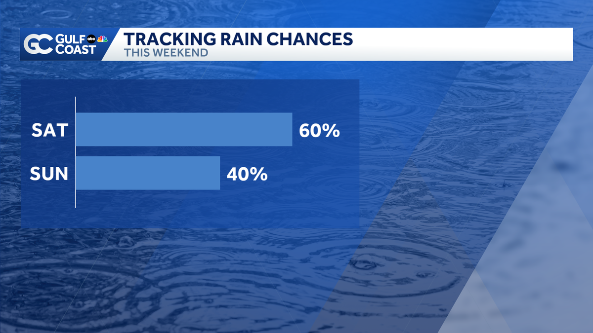
Higher rain chance Saturday before coverage decreases Sunday
 FORT MYERS, Fla. —
Saturday has another high rain chance in the afternoon and evening before coverage starts to decrease Sunday.
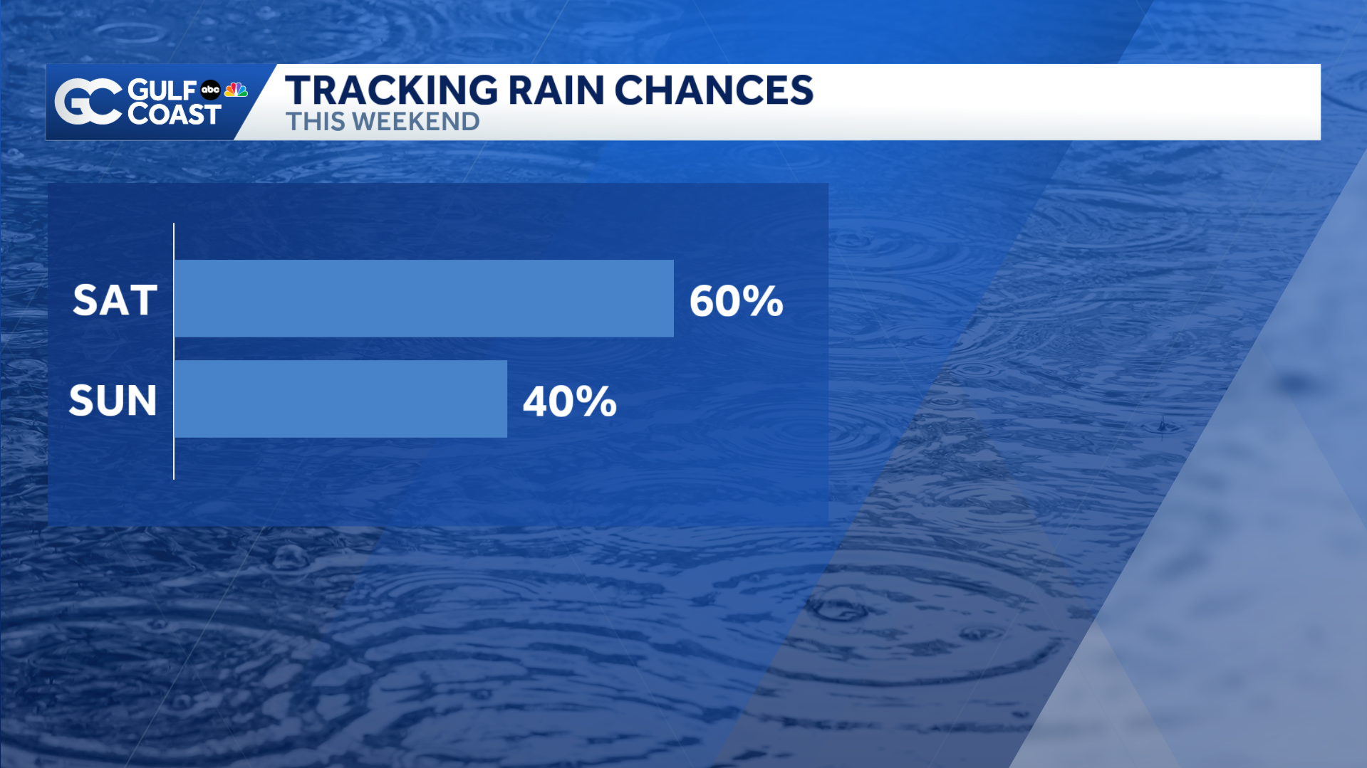
Your Gulf Coast Weather Most Accurate Forecast calls for isolated rain offshore through the early morning hours before showers and thunderstorms redevelop onshore later in the day. Our highest rain chances should be here around 4-6 p.m., when some storms will bring frequent lightning, gusty winds, and heavy rainfall. That heavy rainfall could lead to an isolated flooding risk, especially in areas saturated by the rain we saw Friday night.
Things start to dry out a little on Sunday, where rain chances begin to drop. It will trend even drier at times this next week.
Tropics: No development is expected over the next seven days, but a few long-range models are beginning to pick up on the chance of development in the Main Development Region next week.
However you watch or scroll, we’re committed to delivering your Gulf Coast Weather Most Accurate Forecast, one you can rely on every day, wherever you are.
Live Interactive Radar: Track conditions in real time with the Gulf Coast Live Radar.
Watch Gulf Coast Weather: Find the latest weather forecast videos, streaming live or on demand, on TV and online.
Stream on the Go: Download the free Gulf Coast News app to watch on your phone or tablet.
Your Gulf Coast Weather Team
Follow on Social: Follow, like and subscribe to Gulf Coast News on social media to share your tips and be part of the conversation with Southwest Florida’s most experienced, trusted weather team: Facebook | Instagram | YouTube | TikTok | Threads | Bluesky | Nextdoor | X
DOWNLOAD the free Gulf Coast News app for your latest breaking news and weather alerts. And check out the Very Local Gulf Coast app to stream news, entertainment and original programming on your TV.