
TALLAHASSEE, Fla. (WCTV) – Tracking some storms this afternoon across North Florida and South Georgia that will bring impacts to outdoor dinner plans, especially for the eastern Big Bend.
Any rain or thunderstorm activity should be wrapping up by 10 p.m. for the area, giving way to a quiet and mild overnight with temperatures in the mid-70s.
Tomorrow is not expected to be as wet, with scattered storms possible in the afternoon, but not as widespread as Thursday. Highs will top out in the low 90s.
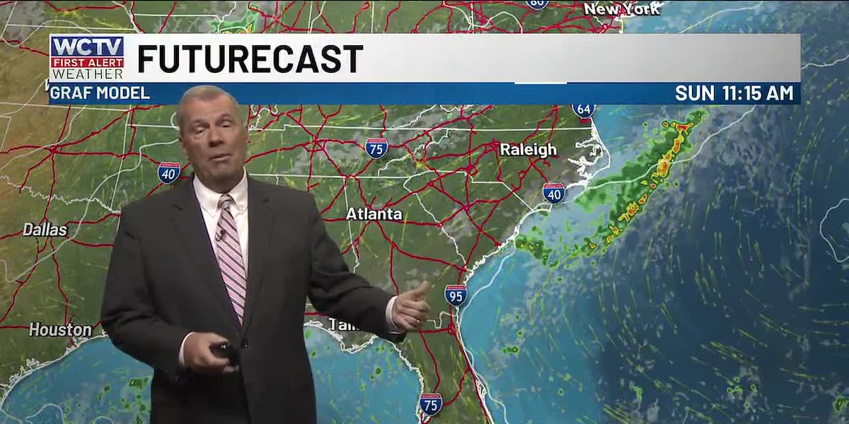
This weekend is going to feel like a very typical August day with highs in the low 90s and afternoon storms as tropical moisture moves in from the Atlantic. This is not going to be anything like last weekend. You will be able to get out and enjoy the afternoons both days.
Rain chances are looking less widespread as we enter the middle of next week, highs will reach the upper 90s as high pressure settles in.
To stay updated on all the latest forecasts and weather, follow WCTV First Alert Weather on Facebook and X (Twitter).
Click here to see all the latest weather headlines and here to view the First Alert Radar. Receive push alerts and watch the latest forecast anytime on the free WCTV First Alert Weather app. Click here to download it now.
Interested in becoming a WCTV First Alert Weather Watcher? Click here to join the team!
Copyright 2026 WCTV. All rights reserved.