
Tracking the Tropics: Two new areas of interest in the Atlantic
Two new areas of interest were outlined by the National Hurricane Center Saturday.
 FORT MYERS, Fla. —
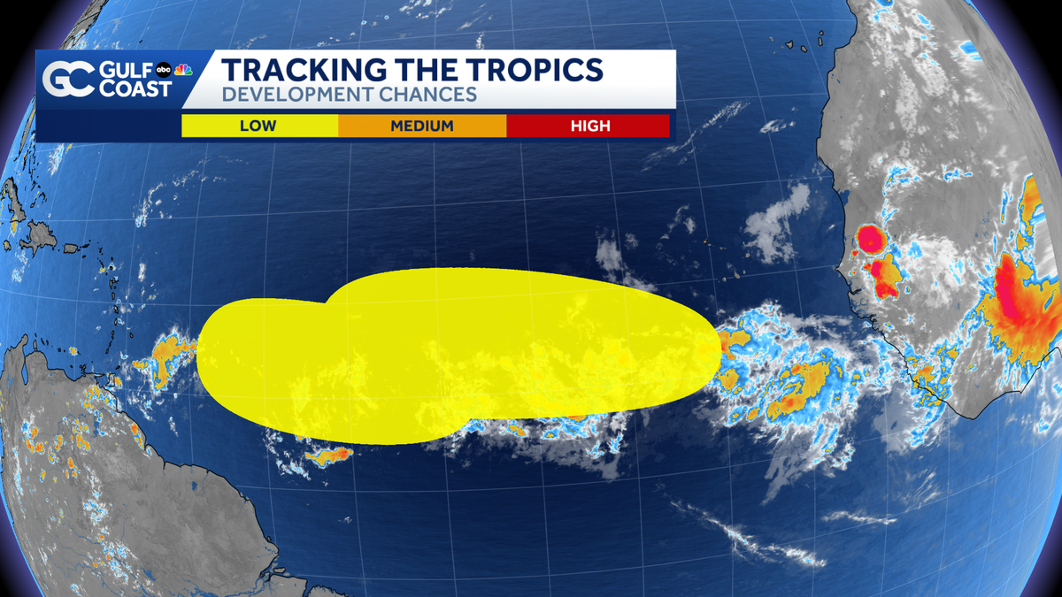
Two new areas of interest were outlined by the National Hurricane Center Saturday. One is in the eastern Atlantic and the other is in the central Atlantic.
Both systems have low development odds. If either were to develop, it would take the name Cristobal.
Eastern Atlantic:
A tropical wave is expected to move out into the Atlantic from Africa on Tuesday. Once that happens, some development is possible toward the middle and the end of the week as it moves west. As of Saturday at 2 p.m., development odds are low, at 30% over the next week.
Central Atlantic:
A tropical wave is swirling a few hundred miles southwest of the Cabo Verde Islands.
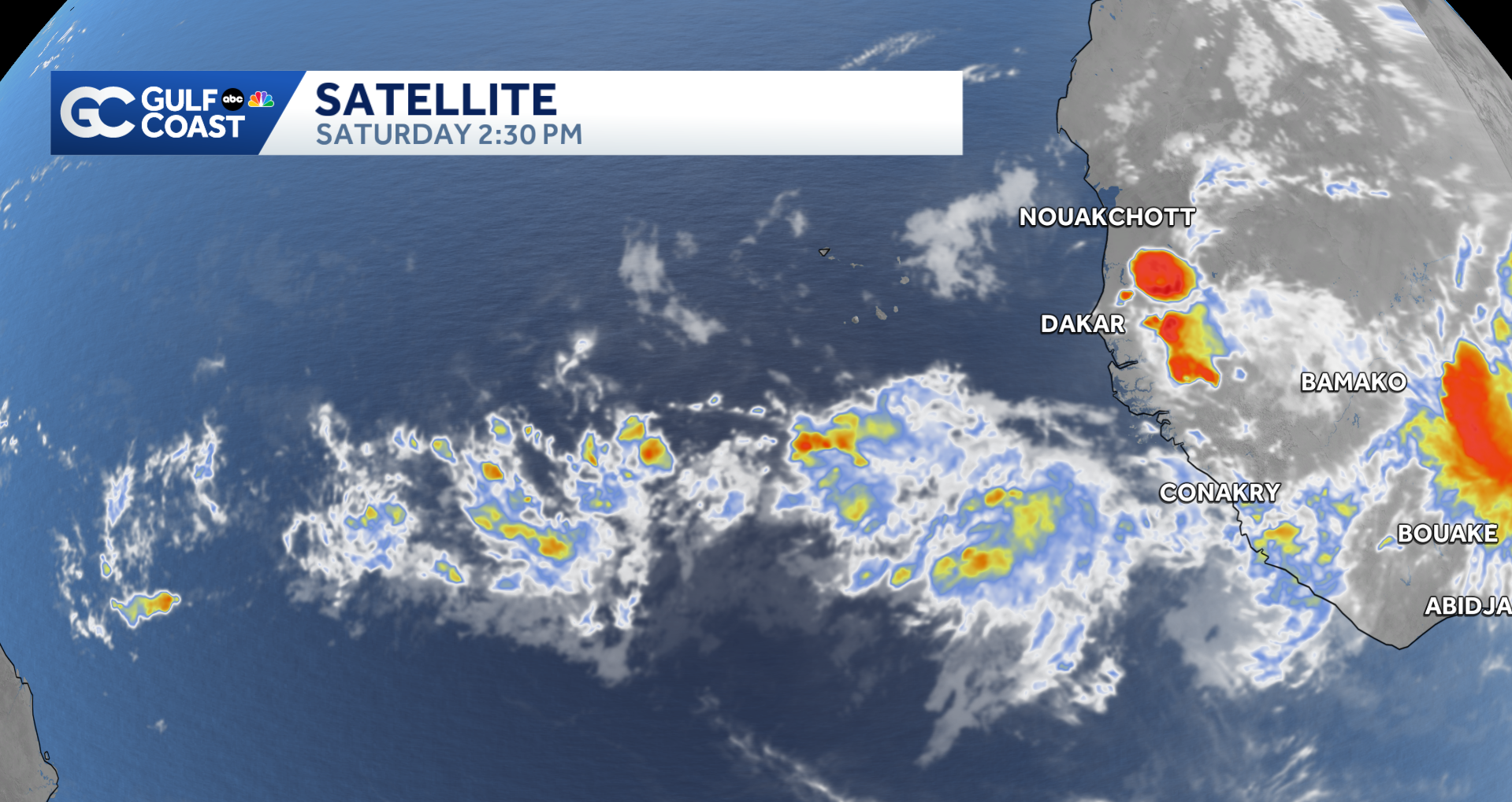
Development odds are low, with only a 20% chance over the next seven days. Gradual development is possible at the beginning to the middle of next week as this system drifts west.
However you watch or scroll, we’re committed to delivering your Gulf Coast Weather Most Accurate Forecast, one you can rely on every day, wherever you are.
Live Interactive Radar: Track conditions in real time with the Gulf Coast Live Radar.
Watch Gulf Coast Weather: Find the latest weather forecast videos, streaming live or on demand, on TV and online.
Stream on the Go: Download the free Gulf Coast News app to watch on your phone or tablet.
Your Gulf Coast Weather Team
Follow on Social: Follow, like and subscribe to Gulf Coast News on social media to share your tips and be part of the conversation with Southwest Florida’s most experienced, trusted weather team: Facebook | Instagram | YouTube | TikTok | Threads | Bluesky | Nextdoor | X
DOWNLOAD the free Gulf Coast News app for your latest breaking news and weather alerts. And check out the Very Local Gulf Coast app to stream news, entertainment and original programming on your TV.