
JACKSONVILLE, Fla. — Here’s what the First Alert Weather Team said you can expect for the forecast:
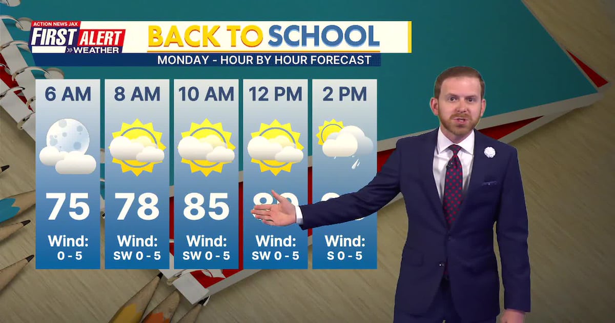
It’s been a rumbly afternoon for parts of Jax with sun and clouds and thunderHeavy storms have hit spots again though, especially north and west of JacksonvilleShowers and storms this evening will slide south and west of the metro areaEveryone clears out and dries out tonightBack-to-school Monday morning will be warm & humid but dryThere will be a few storms come afternoon & evening, so keep an eye out during afternoon pick-upsThe days turn drier and hotter for the rest of the work weekAfternoon temps will approach the highest levels of the year between 95-100Feels like temps will exceed 100, so you need to take the heat seriously Long range forecasts indicate the drier days roll right into next weekend
TROPICS
A tropical wave in the Central Atlantic is moving westbound toward the CaribbeanAnother tropical wave is about to leave Africa and move into the E. AtlanticGiven the current forecast setup now and long-term, these systems stay away from the U.S.It’s still very early in the game so we’ll know more in the coming daysThe next named storms are “Cristobal” and “Dolly”
TONIGHT: Partly Cloudy. Low: 75
TOMORROW: Partly Sunny, A Few PM Storms. High: 92
TUE: Partly Sunny, Isolated Storm. 75/95
WED: Partly Cloudy, Isolated Storm. 75/95
THU: Partly Sunny, Isolated Storm. 74/96
FRI: Partly Cloudy, Isolated Storm. 76/98
SAT: Partly Sunny, Isolated Storm. 75/96
SUN: Partly Cloudy, Isolated Storm. 76/97

WATCH THE FORECAST | DOWNLOAD THE APPS
Follow Action News Jax Meteorologists on Twitter for updates:
Mike Buresh | Garrett Bedenbaugh | Corey Simma | Trevor Gibbs
ALLERGY TRACKER: See what the pollen counts look like in our area
LISTEN: Mike Buresh ‘All the Weather, All the Time’ Podcast
INTERACTIVE RADAR: Keep track of the rain as it moves through your neighborhood