
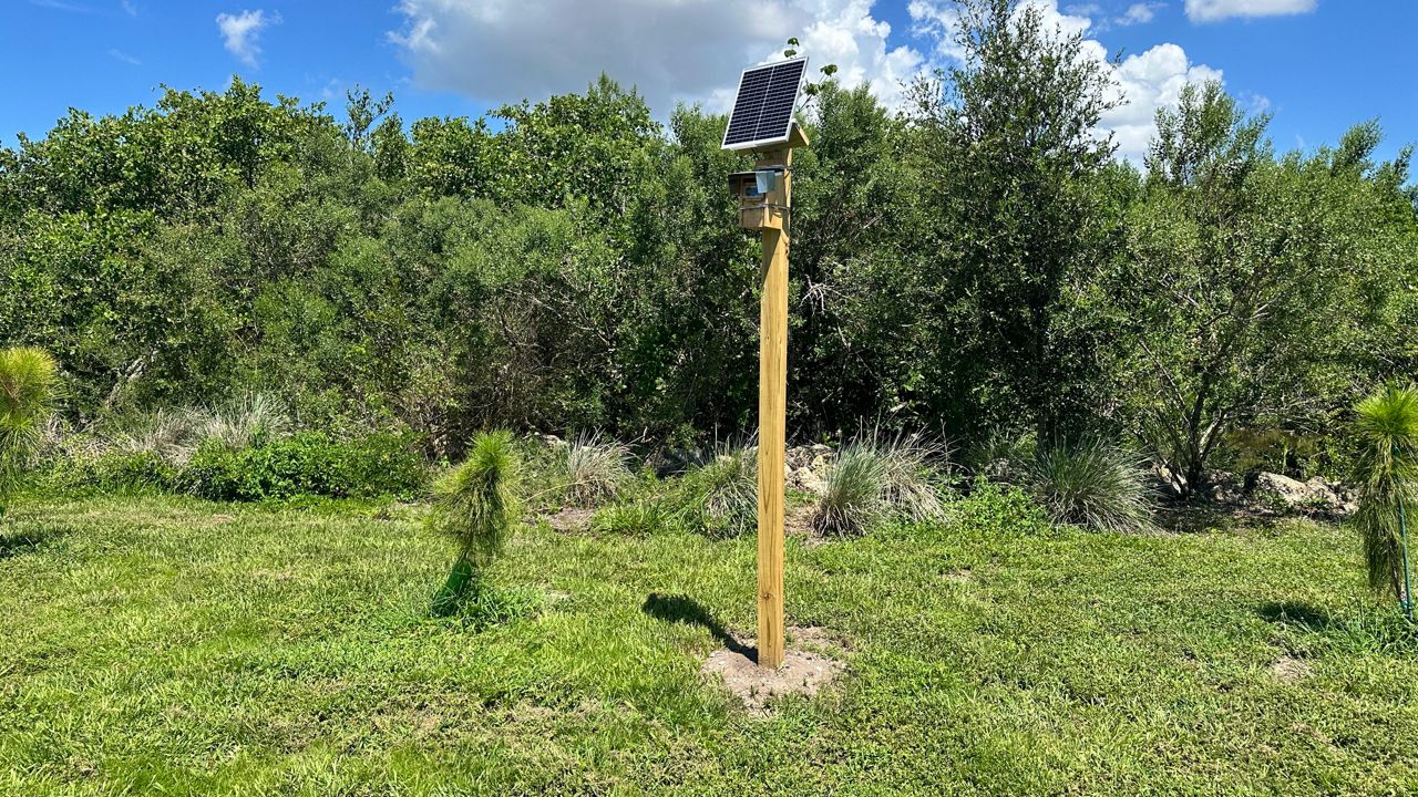
ST. PETERSBURG, Fla. — The St. Petersburg City Council recently approved the lease for a University of South Florida flood monitoring camera to be installed near Clam Bayou, which has grown the research network to a total of 40 cameras in Pinellas County, according to Professor of Geosciences Barnali Dixon.
“We are in the process of creating the dashboard,” she said. “Once these cameras are actually displayed, you can actually combine the flood app we have created and also the static camera.”
The solar-powered infrared cameras take a photo every 15 minutes to show the weather conditions in the area. A pole with reflective tape every six inches is located in the foreground to allow researchers to measure how deep the floodwater has gotten. Dixon said the first batch of eight cameras went up for hurricanes Helene and Milton in 2024 and the devices operated throughout both storms.
“You want to have a system that is nimble and light,” she said. “You have to think about low power, no power, as-well-as a low bandwidth.”
The camera at Perry Bay View Park near Clam Bayou was installed last week and brings the total number to 21 cameras in St. Petersburg. Dixon said she chose that location because researchers were surprised at the amount of flooding that happened there during the 2024 hurricanes.
“That was flooded terribly during Helene and Milton,” she said. “So we needed to have some eyes there — same in Riviera Bay, because we are installing new cameras there, too. Those were not in our coverage plan initially.”
Interest in getting those eyes into more neighborhoods is growing. Storm Squad Executive Director Erica Hall said more residents have been asking about the cameras and what they can show them during flooding.
“Once we’ve shown them what the cameras do and present how we measure it in neighborhoods. People are very interested,” she said. “They want to save themselves. They want to save their neighbors.”
For researchers, the images provide real-world measurements they can use to test and improve their flood models, but the cameras are not just for scientists. The images feed into the Flood Report app that can help residents see which roads are underwater. Dixon said the network can also help residents who have evacuated get an idea of how much flooding is happening in their neighborhood.
“You can look at the camera and you can see whether the water receded in your neighborhood or not… They can also see how high was the water,” she said. “Then they can estimate based on their first-level height, how much water they expect in their house. So that you can do when you are farther away, after you evacuated.”
Dixon got a $1.5 million federal grant for the three-year flood monitoring project. The professor said she has maxed out the number of cameras she can afford to install with her grant. Unless she finds a new funding source, Dixon said no more cameras will be added to the network.