
Happy Wednesday, South Florida!
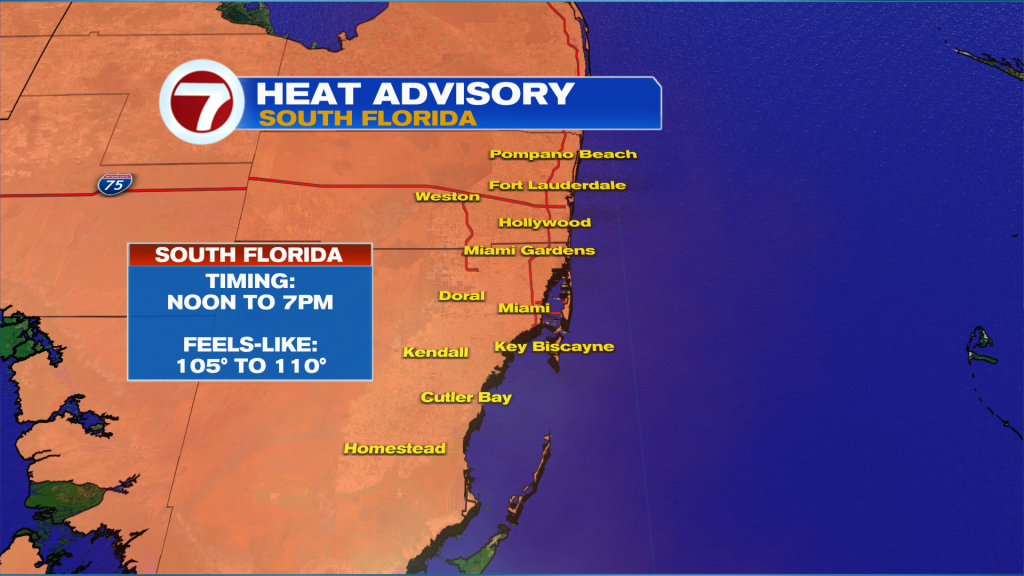
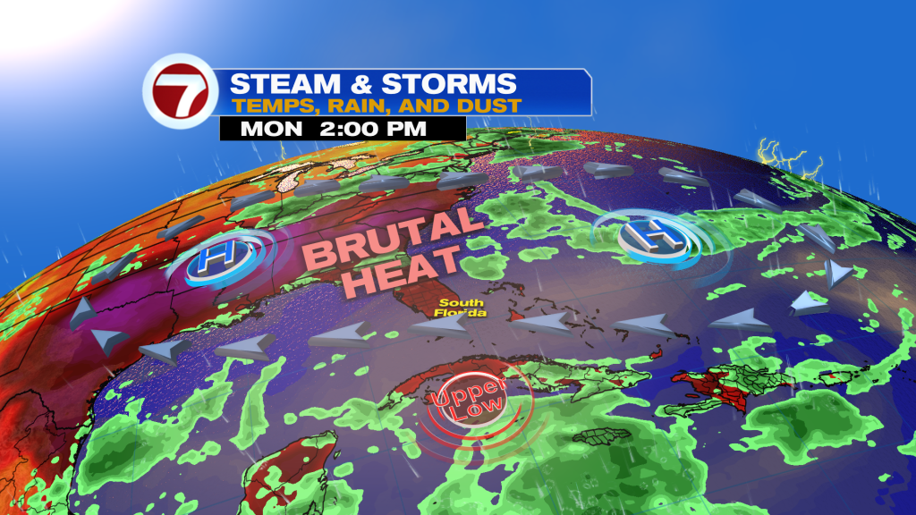
The big story locally is the heat! Heat advisories are in effect for all of Miami-Dade and Broward. Dangerous heat is expected this afternoon as the “feels like” temperature soars up to 110 degrees. Please drink plenty of water and stay cool!
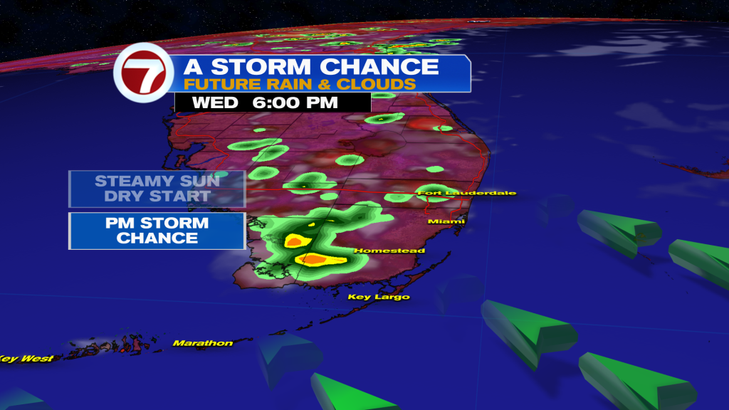
The only thing that could help cool us off are some storms. We will see opportunity for some PM storms late in the afternoon out of the northwest.
Looking ahead, a tropical wave will bring another chance of showers and storms Friday night into Saturday. It maybe a little breezier as well as the wave passes.
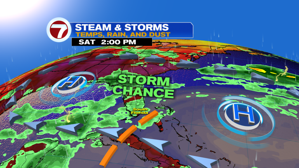
After the tropical wave passes we dry out and crank up the heat as dome of high pressure flexes its muscles over the region. We’re talking brutal heat with highs in the mid to upper 90s with little to no rain chance to cool us off.
 TROPICAL UPDATE:
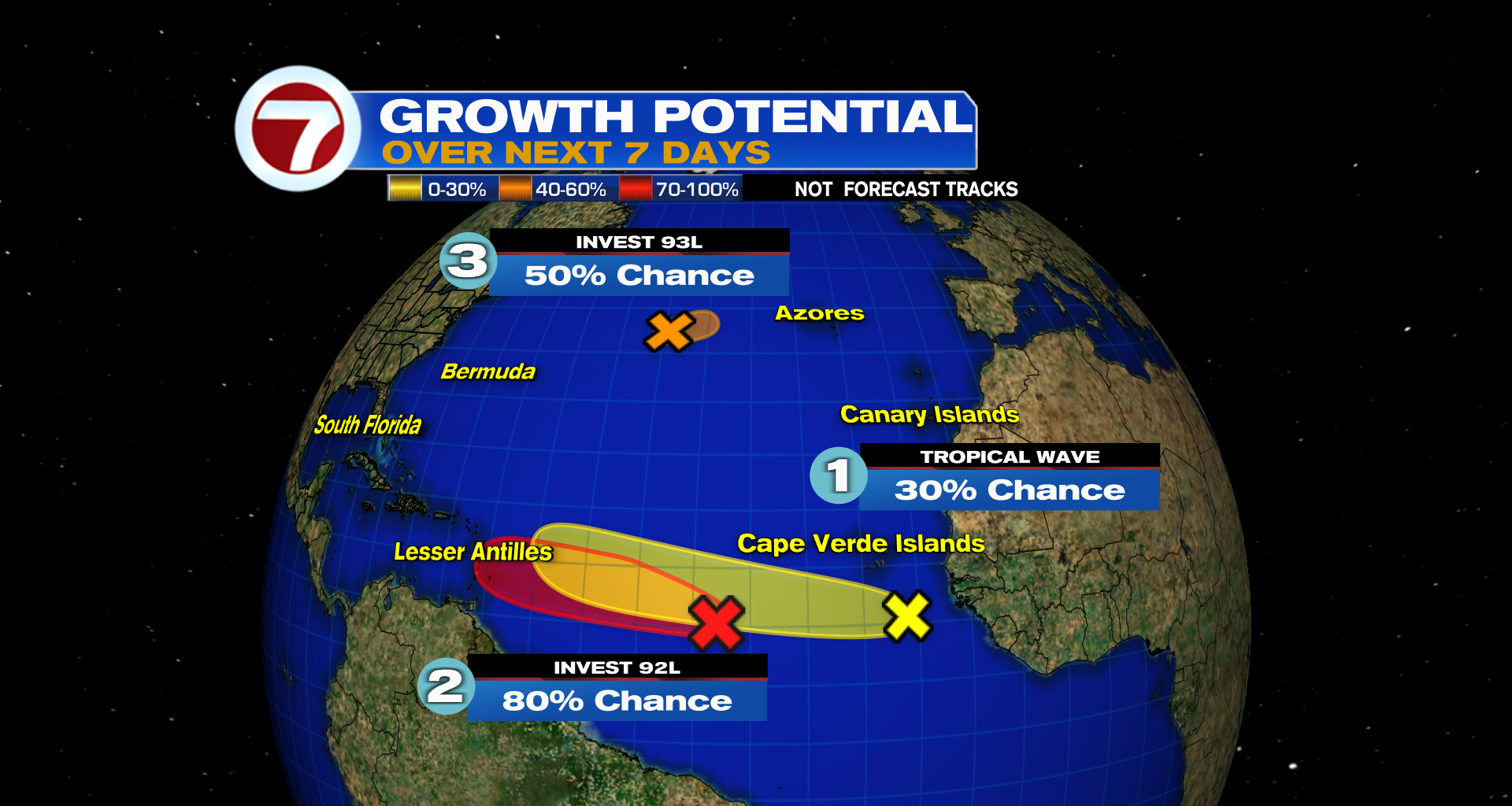
It sure is looking like August with three areas to watch in the Atlantic!
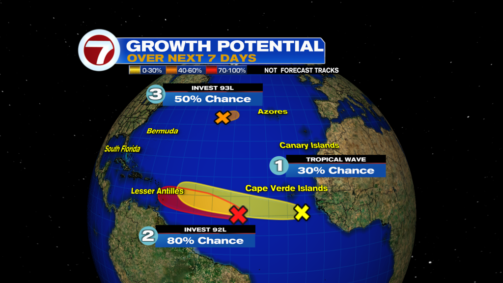
The front runner which has been designated Invest 92L has a high chance of development from the NHC.
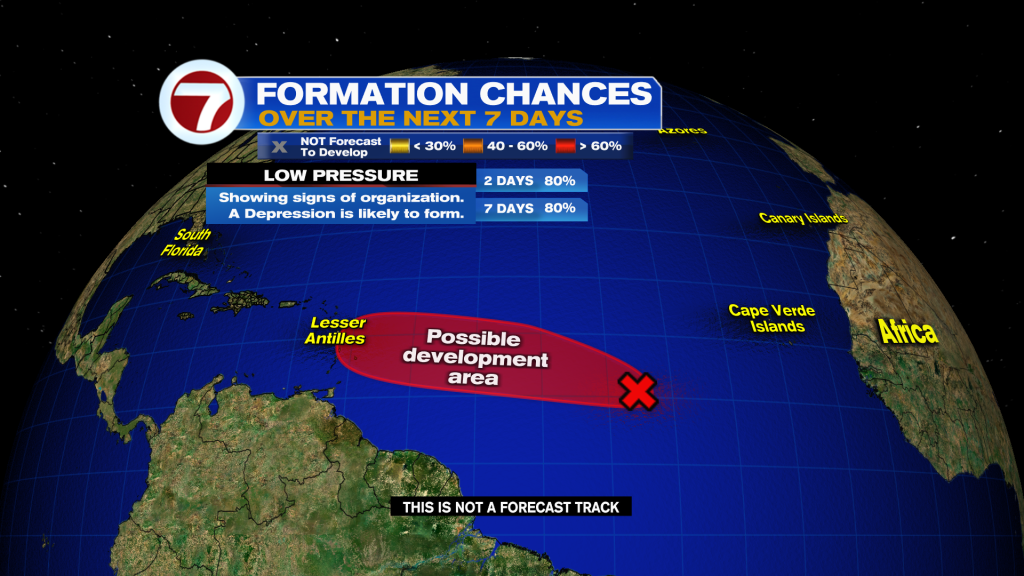
There is a window of somewhat favorable conditions for this to develop as it moves west this week.
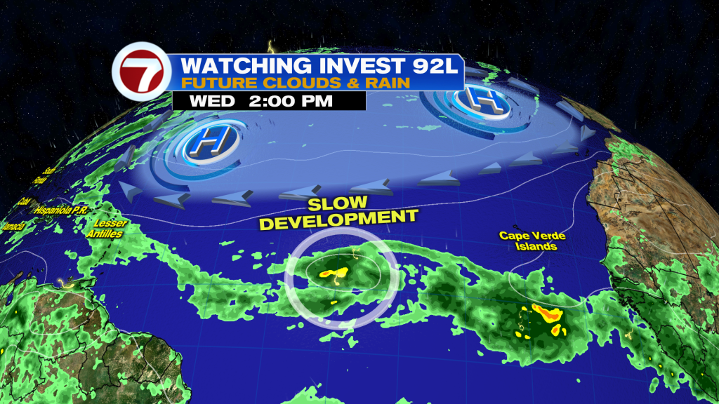
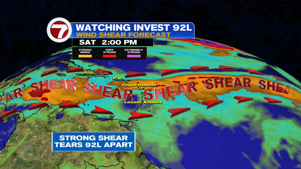
92L will enter the Caribbean by this weekend, bringing much needed rain.
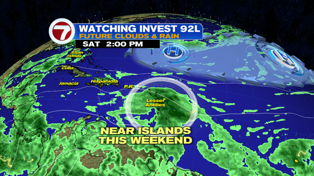
However, strong wind shear is expected to tear it apart afterwards.
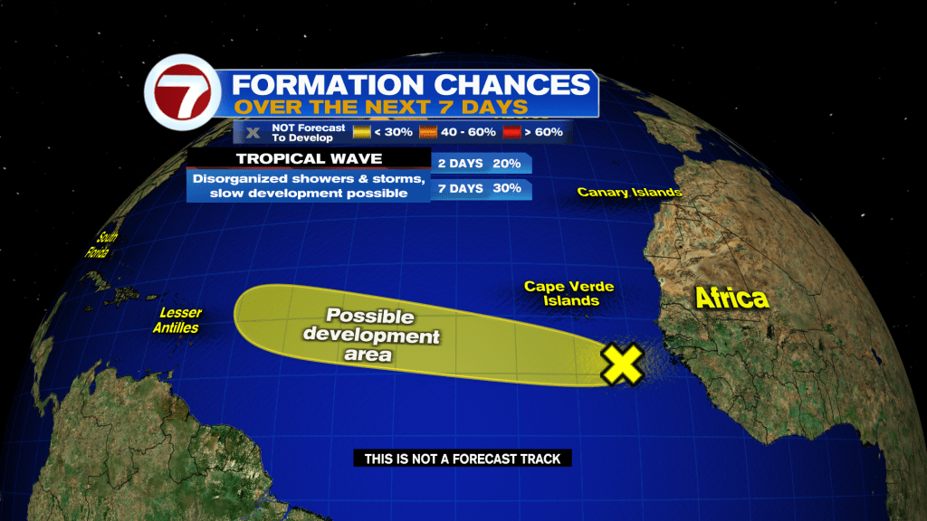
The wave behind 92L currently has a low 30% chance of development. However, I think the National Hurricane Center is going to have to increase chances in the coming days as it moves westward. The Google & EURO AI — which have been outstanding — favor this wave to develop over 92L and this has the potential to be our first true long tracker of the hurricane season.
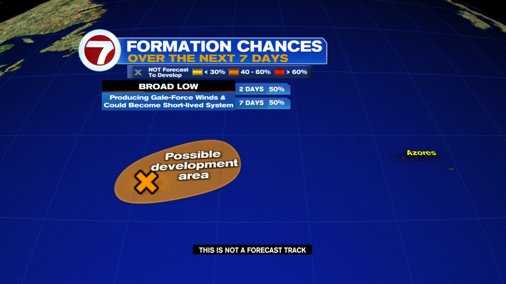
The other disturbance (INVEST 93L) in the far northern Atlantic has a brief window to develop. However, time is quickly running out. Either way, this is only a problem for the fish.
The next names on the list are Cristobal, Dolly, and Edouard.
Join our Newsletter for the latest news right to your inbox